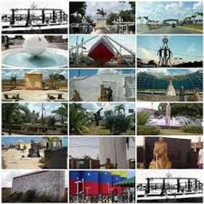
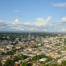
El Tigre, Commercial center in Anzoátegui, Venezuela
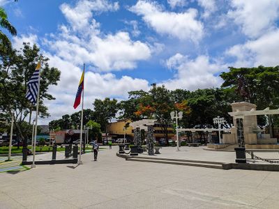
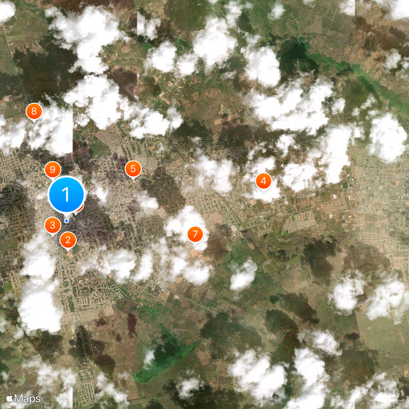
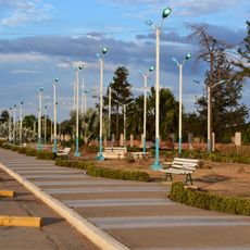
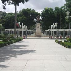
This commercial hub sits in Anzoátegui, eastern Venezuela, founded on the Guanipa Mesa with open views over surrounding plains. The Tigre River divides the urban area and connects residential neighborhoods with industrial zones at the edges.
The Mene Grande company found light crude in the area in 1933 and quickly built extraction facilities and worker camps. Over the following decades the settlement grew into a supply base for surrounding fields and developed its own infrastructure.
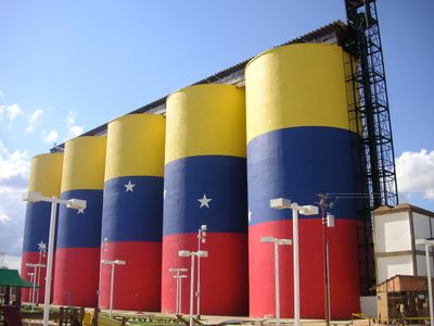
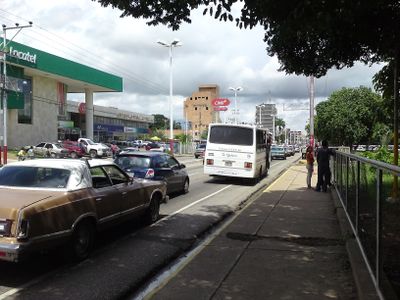
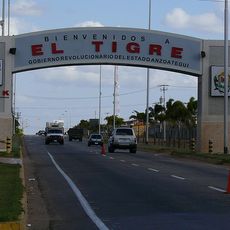
The name comes from the river that runs through the area and served as a landmark long before oil extraction began. Today the townscape is shaped by fuel stations and supply businesses serving the petroleum industry, which define daily routines for residents.
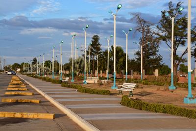
Roads link the town with Puerto La Cruz and Barcelona on the coast, while pipelines supply northern refineries. Temperatures remain high throughout the year, so light clothing and sun protection are recommended.
Peanuts, tomatoes, cashews, corn, potatoes, and sorghum are grown in the surrounding area and sold at local markets. This mix of agriculture and petroleum industry is uncommon for a town so closely tied to the energy sector.
Location: Municipio Simón Rodríguez
Inception: February 23, 1933
Elevation above the sea: 265 m
Website: http://eltigre.gob.ve
GPS coordinates: 8.88583,-64.26111
Latest update: December 5, 2025 16:30
Angostura Bridge
110.2 km
Jesús Soto Museum of Modern Art
115.7 km
Casa del Congreso de Angostura
113.6 km
Isla Paraíso
152.8 km
Cathedral of Our Lady of Mount Carmel, Maturín
153.2 km
Depresión de Unare
140.4 km
Gimnasio Luis Ramos
150.6 km
St. Thomas Cathedral
113.7 km
Sanctuary of Christ of Jose
151.5 km
St. Christopher's Cathedral
146.5 km
El Guamo
150.1 km
Catedral Nuestra Señora del Valle
593 m
New Catalonia
146.9 km
Iglesia de San Simón (Maturín)
152.6 km
Parque Francisco de Miranda La Bandera
5.9 km
Alcaldía del Municipio Simón Rodríguez Anzoátegui
339 m
Monumento Entrada a El Tigre
3.1 km
Plaza Bolívar (Maturín)
152.5 km
Capravera River Hydraulic Reserve
77.3 km
Monumento conmemorativo a Juana La Avanzadora
152.8 km
Liceo Miguel José Sanz
153.4 km
Paseo de la Virgen del Valle
3.9 km
Parque Turístico de El Tigre
2.8 km
Monumento de El Tigre Anzoátegui
1.3 km
Plaza Monumental Simon Bolivar
225 m
Palacio de gobierno del Estado Monagas
152.5 km
Complejo cultural de Maturín
153 km
Plaza del estudiante
152.9 kmVisited this place? Tap the stars to rate it and share your experience / photos with the community! Try now! You can cancel it anytime.
Discover hidden gems everywhere you go!
From secret cafés to breathtaking viewpoints, skip the crowded tourist spots and find places that match your style. Our app makes it easy with voice search, smart filtering, route optimization, and insider tips from travelers worldwide. Download now for the complete mobile experience.
A unique approach to discovering new places❞
— Le Figaro
All the places worth exploring❞
— France Info
A tailor-made excursion in just a few clicks❞
— 20 Minutes