Geography of Vietnam, Geographic region in Southeast Asia, Vietnam
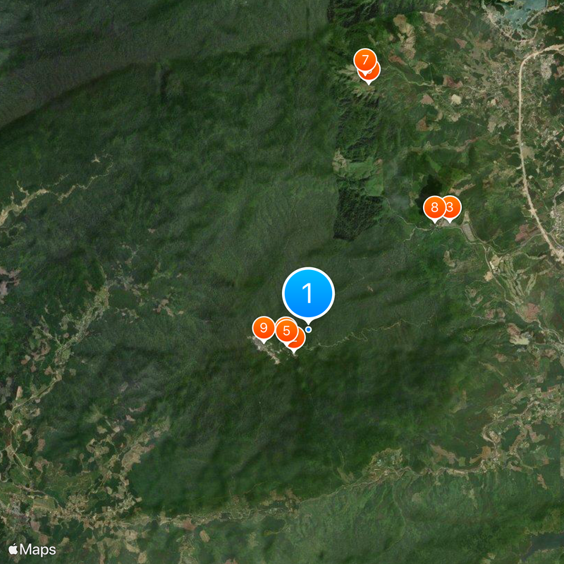
Vietnam stretches 1650 kilometers from north to south and includes mountain ranges, fertile deltas, tropical forests, and an extended coastline along the South China Sea. The country divides into three main zones: the northern highlands, the narrow central coastal region, and the southern Mekong Delta.
The Red River Delta in the north has supported agricultural settlements for thousands of years through an intricate system of dikes controlling seasonal floods. The southern regions were developed later and transformed into productive farmland through drainage and canal construction.
Farmers in the northern highlands maintain terraced rice paddies that follow the slopes of the mountains, while in the south floating gardens thrive on the waterways of the Mekong. These cultivation techniques show how people have adapted their methods to the local landscape.
The narrow central region connects the resource-rich northern highlands with the fertile southern Mekong Delta and measures only 50 kilometers (31 miles) wide at certain points. Travelers often notice the shift between mountainous sections and flat coastal plains along the north-south axis.
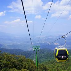
Fan Si Pan mountain reaches 3144 meters (10,315 feet) in elevation and is the highest peak on the Indochinese Peninsula. The economic zone extends 200 nautical miles and contains numerous unexplored marine habitats.
The community of curious travelers
AroundUs brings together thousands of curated places, local tips, and hidden gems, enriched daily by 60,000 contributors worldwide.