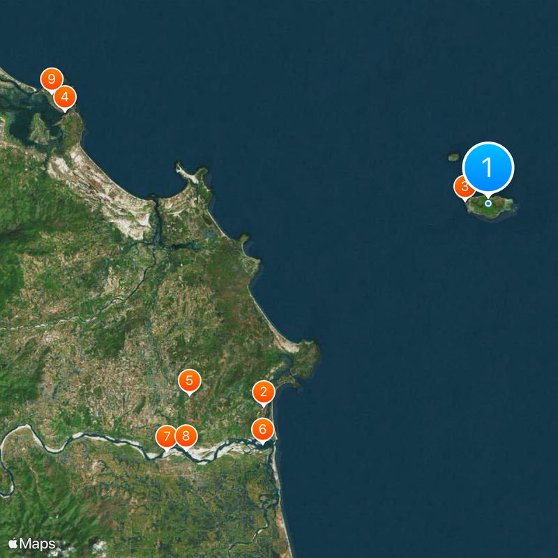
Lý Sơn district, Island district in Quảng Ngãi, Vietnam
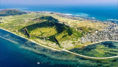
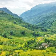
Lý Sơn is a district comprising two volcanic islands in Quảng Ngãi province, shaped by craters and elevated terrain. The geological structure of the islands influences how settlements are arranged and how residents use the available land.
The islands were inhabited in ancient times, as shown by archaeological findings, and later served as a trading hub for the Champa kingdom. This long history of settlement has shaped the communities living here today.
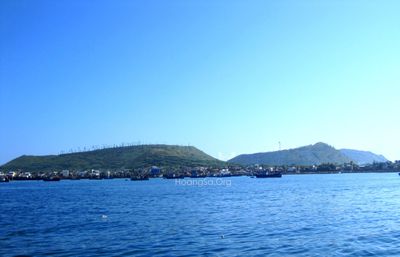
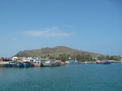
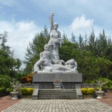
The islands hold deep meaning for fishing families who have built their lives around the sea and honor maritime traditions in local temples. This connection to ocean life shapes how residents work and celebrate their heritage today.
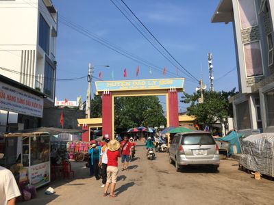
Visitors reach the islands via regular ferry services from the mainland, with the best travel conditions occurring between late winter and early summer. Ferry departures are frequent and the crossing is straightforward.
The islands are known for cultivating a special garlic variety that thrives in volcanic soil with a distinctive flavor. This local specialty is an important product of the region, yet often overlooked by visitors.
Location: Quảng Ngãi
GPS coordinates: 15.38083,109.11750
Latest update: December 6, 2025 16:00
Vietnam extends more than 1,000 miles (1,600 kilometers) from mountain regions in the north to the Mekong Delta in the south, offering travelers a wide range of natural and historical sites beyond urban centers. The country includes Buddhist temples like Bai Dinh and Thien Mu Pagoda, cave systems such as Son Doong and Hang En, and rice terraces at Y Ty and Hoang Su Phi. Geographic features span from limestone formations in Ninh Binh to coastal areas at Phu Quoc and Ly Son islands, and waterfalls at Ban Gioc along the Chinese border. Historical sites document different periods of Vietnamese history. The Imperial Citadel of Thang Long in Hanoi preserves royal palace remains, while Po Nagar Cham Towers in Nha Trang date to the 7th century. My Son Sanctuary in Quang Nam holds temple ruins from the Champa civilization, and Cu Chi Tunnels near Ho Chi Minh City served as an underground network during the Vietnam War. The Mekong Delta in the south consists of waterways, floating markets and traditional villages, while Mui Ne sand dunes and Lang Co Beach present different coastal landscapes.
Golden Bridge
138.2 km
Hoi An Ancient Town
101 km
Mỹ Sơn
114.7 km
Marble Mountains
114.9 km
Linh Ung Pagoda
120.4 km
Dragon River Bridge
121.8 km
Măng Đen
124.3 km
Japanese Bridge
101.3 km
Da Nang Cathedral
122.5 km
Han River Bridge
122.6 km
Sơn Mỹ Memorial
33.4 km
Thuận Phước Bridge
124.4 km
Museum of Cham Sculpture
122.1 km
Sa Huỳnh
79.5 km
Hòa Xuân Stadium
118 km
Tran Thi Ly Bridge
120.9 km
Nguyen Van Troi Bridge
121 km
Ba Na Hills Cable Car
136.4 km
Zone 5 Military Museum
121.7 km
Chi Lang Stadium
123.3 km
Đồng Dương
102.4 km
Cu Lao Cham Marine Park
79.8 km
Tiên Sơn Bridge
119.3 km
Museum of Trade Ceramics
100.9 km
Son Tra Guanyin
120.5 km
Cong To Vo
2.6 km
Lang Co Beach
150.2 km
Evangelical Church of Hội An
101.6 kmReviews
Visited this place? Tap the stars to rate it and share your experience / photos with the community! Try now! You can cancel it anytime.
Discover hidden gems everywhere you go!
From secret cafés to breathtaking viewpoints, skip the crowded tourist spots and find places that match your style. Our app makes it easy with voice search, smart filtering, route optimization, and insider tips from travelers worldwide. Download now for the complete mobile experience.
A unique approach to discovering new places❞
— Le Figaro
All the places worth exploring❞
— France Info
A tailor-made excursion in just a few clicks❞
— 20 Minutes