Enable Location

We need your location to show you interesting places around you

Discover nearby places

Find interesting locations and hidden gems around you

Precise directions

Get accurate directions and distances to places

Your location is never shared with other users. It's only used when you tap the location button.

Long Thành

Log in to your account

Start exploring — it's free

Trusted by 63,313 travelers worldwide

Continue with Google
Continue with Apple
or

We will send you a code to connect

By continuing, you accept our Terms and Conditions and our Privacy Policy

Check your inbox

We've sent a pincode in your inbox. Please enter the code below.

Long Thành
Discussion Reviews 1 Photos
33.6k Popularity

Long Thành, Rural district in Đồng Nai, Vietnam.

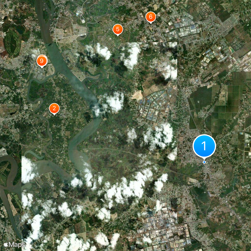
Long Thành is a district in Đồng Nai that spans a large rural area with farmland and several industrial parks. The region lies east of Ho Chi Minh City and combines agricultural production with modern manufacturing facilities.

The district developed from the late 20th century as a rural area with growing economic importance. The region began establishing industrial parks that modernized the local economy and brought new job opportunities.

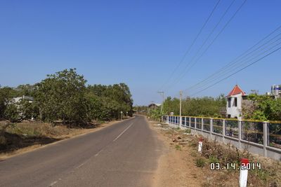
The district is a key center for rice farming and traditional agriculture that shapes daily life for many residents. The fields and villages show how people here have worked with the land for generations and maintain their connection to nature.

The district is accessible by various transportation options, with several roads connecting rural areas to industrial zones. Visitors should allow sufficient time for exploration since points of interest are spread across the area.

The district is the site for Vietnam's planned major airport, a project with significant impact on the region's future. Construction has already begun and will fundamentally change the infrastructure and appearance of the area.

The community of curious travelers

AroundUs brings together thousands of curated places, local tips, and hidden gems, enriched daily by 60,000 contributors worldwide.

Start exploring
Location
Elevation above the sea
52 m
GPS coordinates
10.77690,106.95454
Latest update
December 19, 2025 23:27
Reviews
Share your experience

No review yet

Discussions
Start a discussion...

No discussion yet

« Long Thành - Rural district in Đồng Nai, Vietnam » is provided by Around Us (aroundus.com). Images and texts are derived from Wikimedia project under a Creative Commons license. You are allowed to copy, distribute, and modify copies of this page, under the conditions set by the license, as long as this note is clearly visible.

Discover hidden gems everywhere you go!

From secret cafés to breathtaking viewpoints, skip the crowded tourist spots and find places that match your style. Our app makes it easy with voice search, smart filtering, route optimization, and insider tips from travelers worldwide. Download now for the complete mobile experience.

Around Us App Screenshot

A unique approach to discovering new places

Le Figaro

All the places worth exploring

France Info

A tailor-made excursion in just a few clicks

20 Minutes

Around Us
Travel Guide & Maps
Download

Send to your phone

QR Code
1

Open the camera app on your mobile.

2

Point at the QR code with your camera. A notification will appear.

3

Tap the notification to open the link.