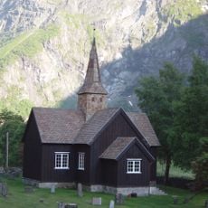
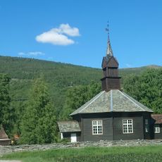
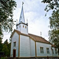
Reinheimen National Park, National park in western Norway.
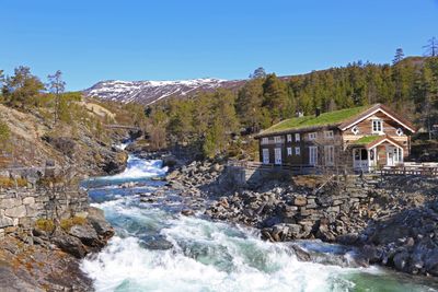
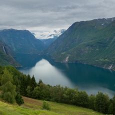
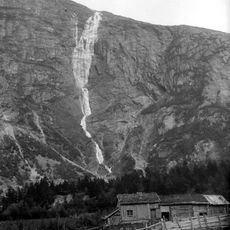
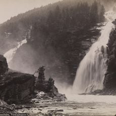
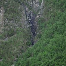
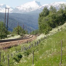
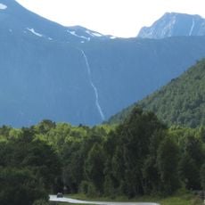
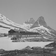
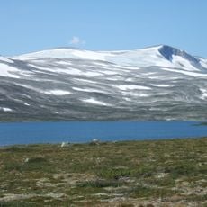
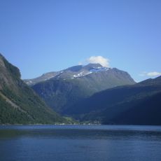
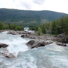
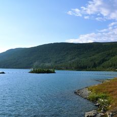
Reinheimen is a national park in western Norway covering roughly 2,000 square kilometers of mountain terrain with peaks exceeding 2,000 meters and deep valleys carving through the landscape. The park spans multiple municipalities and offers diverse alpine geography shaped by glacial activity and rock formations.
The Norwegian government established this protected area in 2006 to preserve the mountain ecosystems and natural landscapes of the Tafjordfjella mountain range. The park's creation was part of a broader effort to protect significant natural areas across the country.
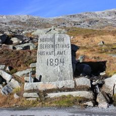
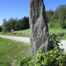
Ancient hunting structures scattered throughout the park show how local communities hunted reindeer for centuries using pitfalls and trapping systems. These remains reveal the deep connection between people and the mountain landscape.
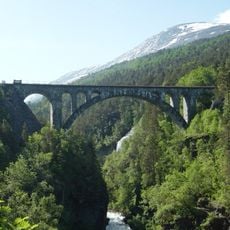
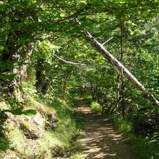
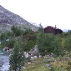
The park is accessible from nearby towns including Åndalsnes, Dombås, and Vågåmo, with several marked trails suitable for different abilities. Visitors should be prepared for changing mountain weather and bring appropriate gear for hiking at altitude.
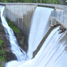
The park displays a striking geological contrast where western peaks are sharp and jagged with fast-flowing rivers, while eastern slopes are gentler with broader valleys. These two distinct landscapes developed through different phases of glacial erosion over thousands of years.
The community of curious travelers
AroundUs brings together thousands of curated places, local tips, and hidden gems, enriched daily by 60,000 contributors worldwide.