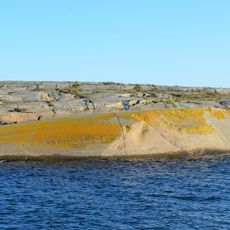
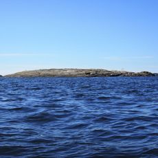
Stavern, settlement in Larvik Municipality, Norway
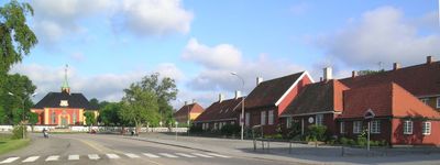
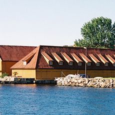
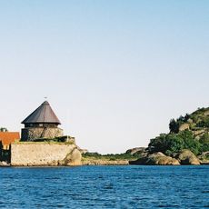
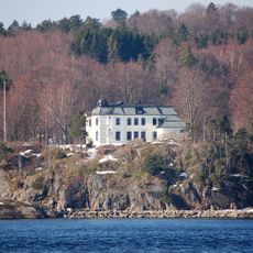
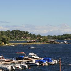
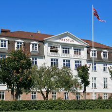
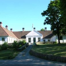
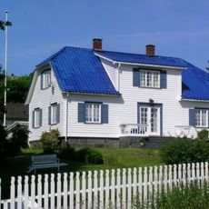
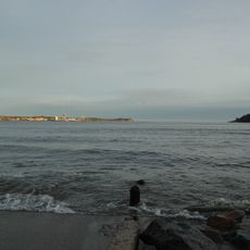
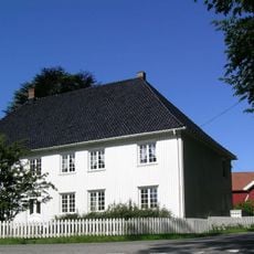
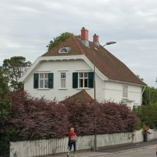
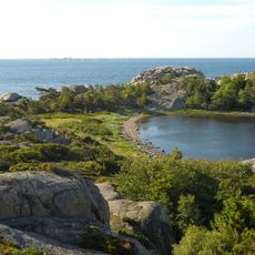
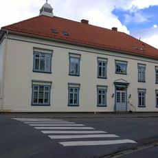
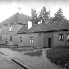
Stavern is a small harbor town on the Norwegian coast with quiet streets and well-kept wooden buildings from various periods. The town extends from the working harbor with its boats and docks to galleries and residences inland, with Fredriksvern, an 18th-century naval shipyard, forming its historic core.
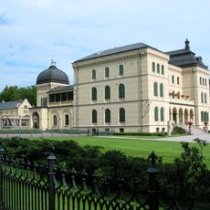
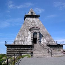
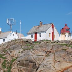
Stavern has been an important fishing harbor since medieval times and later became home to a major naval base that served as Norway's primary naval station from the mid-1700s until the late 1800s. Its historical importance remains visible in the preserved structures of Fredriksvern and in monuments like Minnehallen, which remember those lost at sea.
Stavern is an artist town where local creators regularly display glass art, ceramics, and paintings throughout the town. Visitors can browse galleries and meet the artists themselves, experiencing a living creative community that has drawn inspiration from this coastal setting for generations.
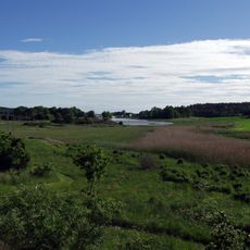
The streets are flat and easy to walk, with everything close together, making it simple to explore on foot without needing transport. Summer months are ideal for visiting, as galleries open, cafes fill the quays, and boats are active in the harbor.
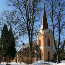
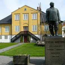
Poet Jonas Lie spent his final years in Stavern, leaving a strong literary mark on the town, and his grave near the church preserves the memory of his deep connection to the sea. The statue of Admiral Peder Tordenskjold, an 18th-century naval hero, stands as a reminder of the legendary sea battles and daring voyages that shaped this harbor's past.
The community of curious travelers
AroundUs brings together thousands of curated places, local tips, and hidden gems, enriched daily by 60,000 contributors worldwide.