Enable Location

We need your location to show you interesting places around you

Discover nearby places

Find interesting locations and hidden gems around you

Precise directions

Get accurate directions and distances to places

Your location is never shared with other users. It's only used when you tap the location button.

Kjerkeberget

Log in to your account

Start exploring — it's free

Trusted by 62,832 travelers worldwide

Continue with Google
Continue with Apple
or

We will send you a code to connect

By continuing, you accept our Terms and Conditions and our Privacy Policy

Check your inbox

We've sent a pincode in your inbox. Please enter the code below.

Kjerkeberget

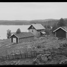
Kjerkeberget, Mountain summit in Nordmarka, Oslo, Norway.

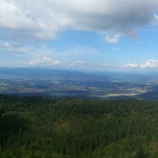
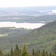
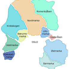
Kjerkeberget rises to 631 meters above sea level between Sandungen and Katnosa lakes, forming the highest point in Oslo. The mountain sits precisely on the boundary between Oslo municipality and Lunner, making it a geographical landmark for the area.

The mountain served as a strategic location for the Norwegian resistance movement during the Second World War, hosting the first parachute drop for Milorg District 13 in October 1942. This military activity made the peak an important point for delivering supplies and personnel to underground operations.

The name combines Norwegian words for church and rocky mountain, reflecting how locals named peaks based on their appearance. The distinctive shape of the summit has made this name stick in the region for generations.

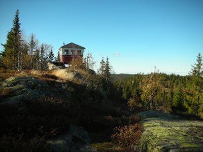
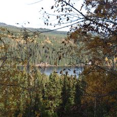
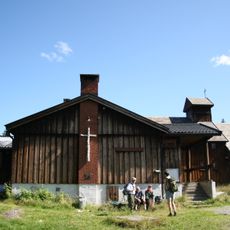
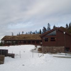
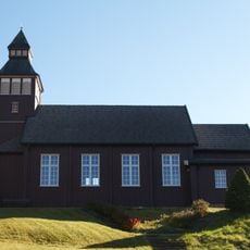
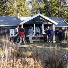
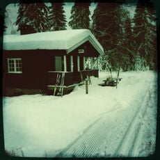
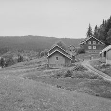
A marked hiking trail leads to the summit, where visitors find a fire cabin offering shelter and mountain information. The route remains walkable in winter months, though snow and ice require proper equipment and careful footing.

The summit marks the northernmost point of Oslo city and sits exactly on the boundary line between Oslo and Lunner district. This position makes it a rare location where two administrative areas meet, placing visitors on the threshold of both regions simultaneously.

The community of curious travelers

AroundUs brings together thousands of curated places, local tips, and hidden gems, enriched daily by 60,000 contributors worldwide.

Start exploring
GPS coordinates
60.13523,10.61906
Latest update
December 11, 2025 11:08
« Kjerkeberget - Mountain summit in Nordmarka, Oslo, Norway » is provided by Around Us (aroundus.com). Images and texts are derived from Wikimedia project under a Creative Commons license. You are allowed to copy, distribute, and modify copies of this page, under the conditions set by the license, as long as this note is clearly visible.

Discover hidden gems everywhere you go!

From secret cafés to breathtaking viewpoints, skip the crowded tourist spots and find places that match your style. Our app makes it easy with voice search, smart filtering, route optimization, and insider tips from travelers worldwide. Download now for the complete mobile experience.

Around Us App Screenshot

A unique approach to discovering new places

Le Figaro

All the places worth exploring

France Info

A tailor-made excursion in just a few clicks

20 Minutes

Around Us
Travel Guide & Maps
Download

Send to your phone

QR Code
1

Open the camera app on your mobile.

2

Point at the QR code with your camera. A notification will appear.

3

Tap the notification to open the link.