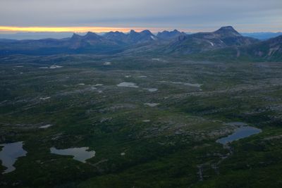
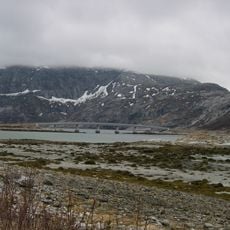
Lurfjelltinden, Mountain summit in Bodø Municipality and Beiarn, Norway
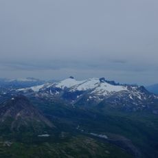
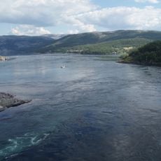
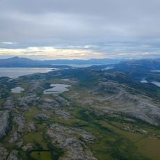
Lurfjelltinden is a mountain summit reaching approximately 1,284 meters that forms a natural boundary between Bodø Municipality and Beiarn in Nordland County. The peak can be accessed through various hiking routes, with the most direct path starting from Svartvassetra and passing by the Lurfjellhytta mountain hut.
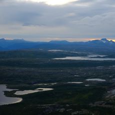
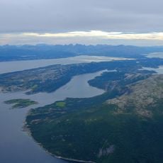
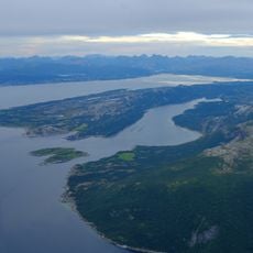
The peak has long served as a crucial reference point for travelers and local communities navigating through northern Norway's landscape. This landmark helped guide people and establish routes through otherwise difficult terrain.
The mountain carries names in multiple Sami languages, reflecting the indigenous heritage of this region. These designations show how long Sami peoples have called this landscape home.
The climb requires good physical fitness and proper gear, as conditions vary depending on the season and weather. It is advisable to start early and monitor weather conditions carefully, as they can change quickly at higher elevations.
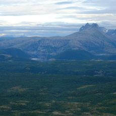
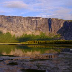
The southern rock face features a roughly 400-meter vertical cliff where spring avalanches create conditions for rare plant species. These special circumstances allow several orchid types to grow here that would otherwise not survive in this region.
The community of curious travelers
AroundUs brings together thousands of curated places, local tips, and hidden gems, enriched daily by 60,000 contributors worldwide.