Nøtterøy, Coastal island in Færder, Norway.
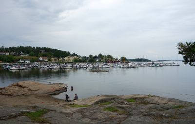
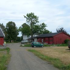
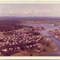
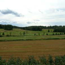
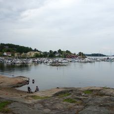
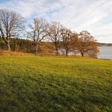
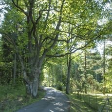
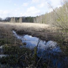
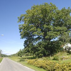
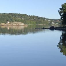
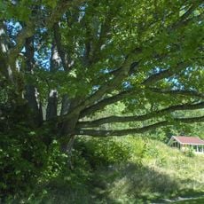
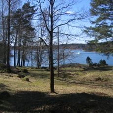
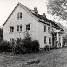
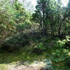
Nøtterøy is a 44-square-kilometer island with varied landscapes ranging from coastal areas and agricultural fields to forested sections. The three main villages of Glomstein, Kjøpmannskjær, and Årøysund form the urban centers with homes, shops, and harbor areas.
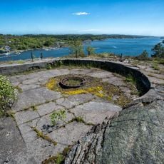
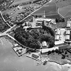
The island played a strategic role during the Gunboat War between Sweden and Great Britain, with two telegraph stations located at the heights of Vardås and Vetan. This military past shaped how the island developed and was built.
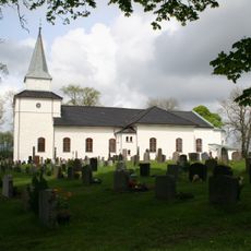
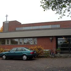
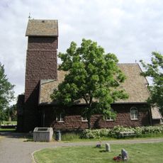
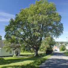
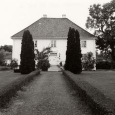
The name comes from Old Norse 'Njótarøy' and reflects maritime traditions visible today in the local churches and numerous settlement sites scattered across the land. Visitors can see how these traditions shape how people live and use the space today.
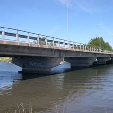
The island is accessible via the Tønsberg Canal Bridge from the mainland or by ferry services during summer from Tenvik to nearby islands. Roads and paths connect the three villages and make getting around straightforward.
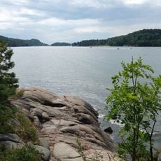
The island's bedrock includes distinctive monzonite rocks such as gray larvikite and reddish-brown tønsbergite, rare stone types found in few other Scandinavian locations. These rocks make the landscape and coastal cliffs visually unique.
The community of curious travelers
AroundUs brings together thousands of curated places, local tips, and hidden gems, enriched daily by 60,000 contributors worldwide.