
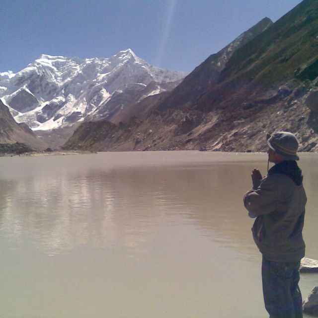
Popularity :
Sagarmatha Zone, former administrative zone of Nepal
Filters
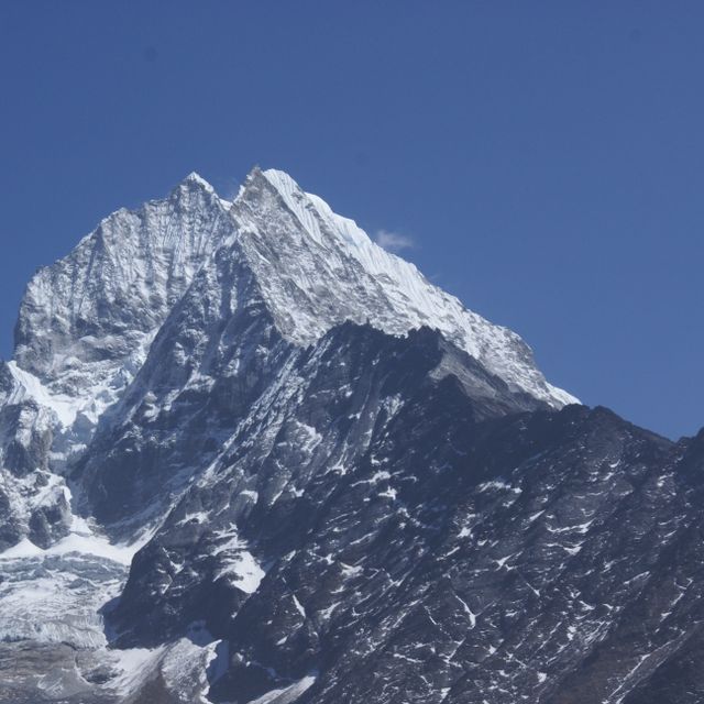


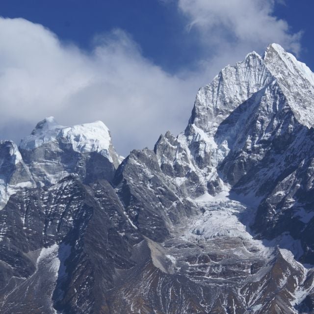
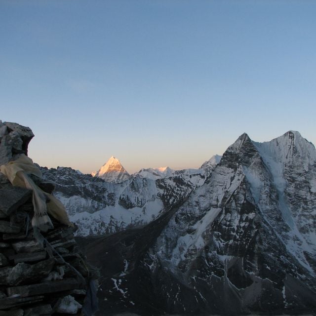
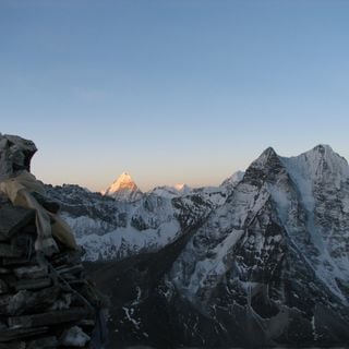
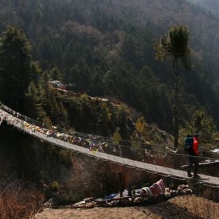
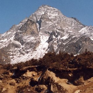
Kangtega
Mountain peak in Nepal
Kangtega, known as the Snow Saddle, is a majestic mountain in the Himalayas.
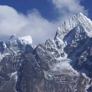
Kangtega
Mountain peak in Nepal
Nepal
53.1 km

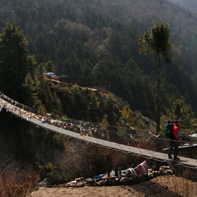
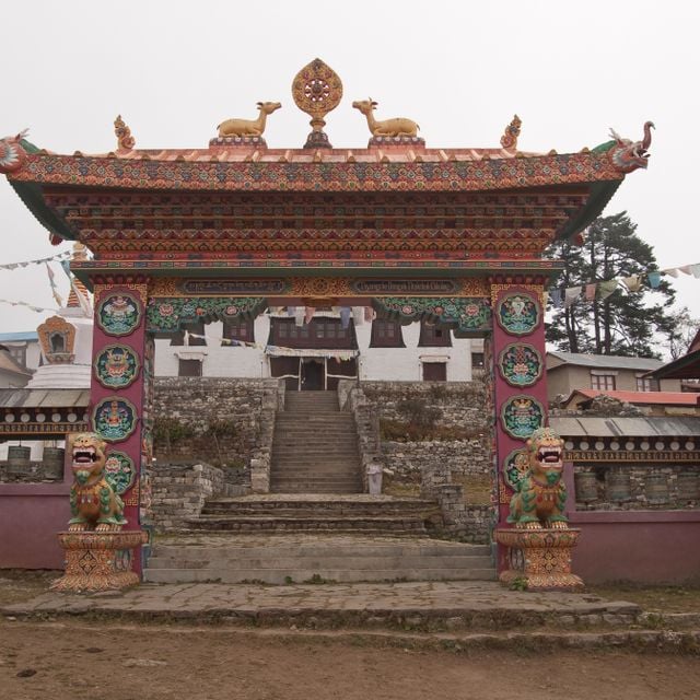
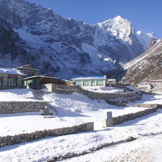
Tengboche Monastery
Monastery in Nepal
Tengboche Monastery is the largest gompa in the Khumbu region of Nepal.

Tengboche Monastery
Monastery in Nepal
Nepal
56.8 km

Bhagwati Temple
Hindu temple in Nepal
The Bhagwati Temple is dedicated to the goddess Bhagwati, an incarnation of Parvati.
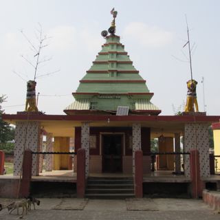
Bhagwati Temple
Hindu temple in Nepal
Nepal
56.9 km


Resources
« Sagarmatha Zone - former administrative zone of Nepal » is provided by Around.Us (aroundus.com). Images and texts are derived from Wikimedia project under a Creative Commons license. You are allowed to copy, distribute, and modify copies of this page, under the conditions set by the license, as long as this note is clearly visible.