Eastern Development Region, former administrative region of Nepal
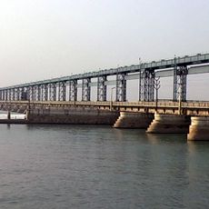
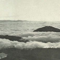
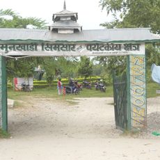
The Eastern Development Region was a former administrative area in eastern Nepal with diverse landscapes ranging from high mountains and rolling hills to flat plains in the south. Covering 16 districts and stretching from snow-capped Himalayan peaks to fertile valleys, it served as a major hub for regional governance.
The region was established in 1972 to streamline Nepal's administration by consolidating smaller districts into larger areas. It was abolished in 2015 when a new constitution reorganized Nepal into provinces, though the historical names and boundaries remained significant to local populations.
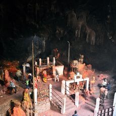
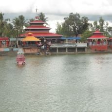
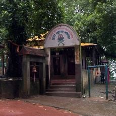
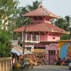
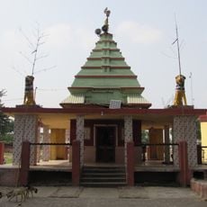
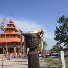
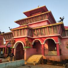
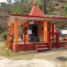
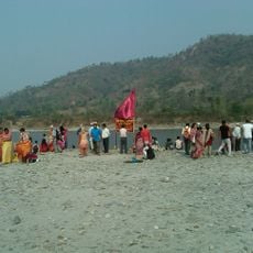
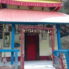
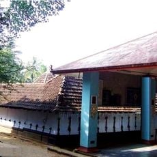
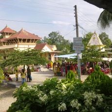
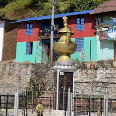
The region was home to diverse ethnic groups including Brahmans, Chhetris, Rais, and Limbus, each maintaining their own traditions and customs. Religious festivals featuring music, dance, and prayer occurred throughout the year, particularly at sacred sites like Halesi Mahadev Temple, which drew pilgrims from distant places.
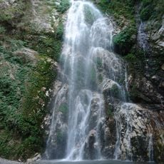
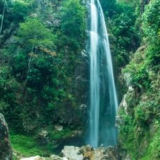
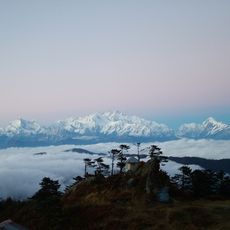
Visitors can best explore the diverse landscapes through trekking and hiking, with trails passing through forests, past waterfalls, and through villages. Small guesthouses offer basic lodging, with the best times to visit being drier months to avoid slippery mountain paths.
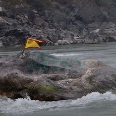
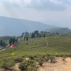
The Tinjure-Milke-Jaljale area contains most of Nepal's rhododendron species, with mountain slopes blooming in different colors across seasons. These rare flower fields often go overlooked by travelers despite being among the region's most notable natural features.
The community of curious travelers
AroundUs brings together thousands of curated places, local tips, and hidden gems, enriched daily by 60,000 contributors worldwide.