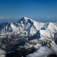
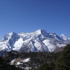
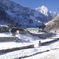
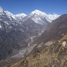
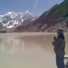
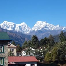
Sagarmatha Zone, former administrative zone of Nepal
Sagarmatha Zone was an administrative region in eastern Nepal that encompassed several districts. It served as an important geographical subdivision of the country and played a key role in the governance of the eastern part.
Sagarmatha Zone was established as an administrative unit and functioned for several decades as an important regional division of Nepal. The zone was eventually dissolved when Nepal reformed its administrative system and introduced new structures.
The former zone no longer exists as an administrative entity, but its historical boundaries can be studied on maps. Understanding the previous division helps clarify the geographic and cultural structure of eastern Nepal.
The community of curious travelers
AroundUs brings together thousands of curated places, local tips, and hidden gems, enriched daily by 60,000 contributors worldwide.