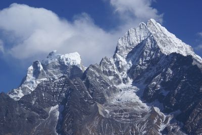
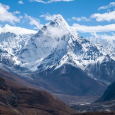
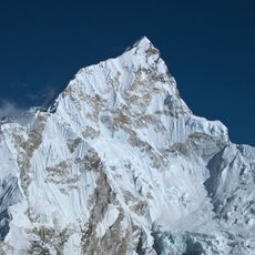
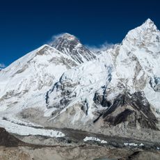
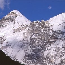
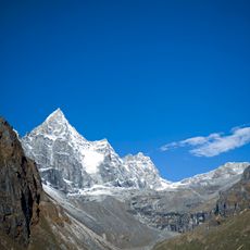
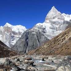
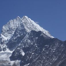
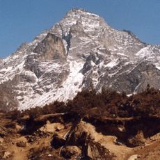
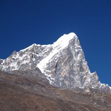
Kangtega, Mountain summit in Sagarmatha Zone, Nepal.
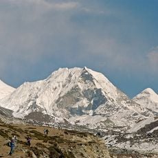
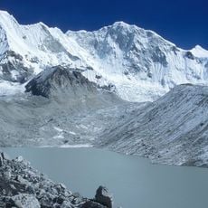
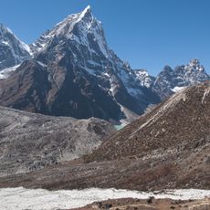
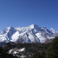
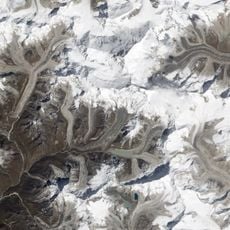
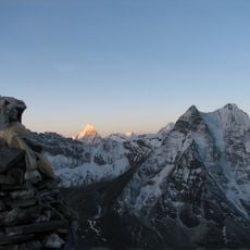
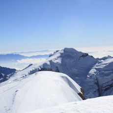
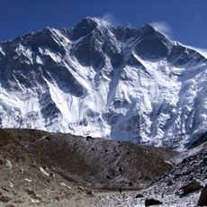
Kangtega is a mountain in the Sagarmatha Zone that rises to 6,783 meters and features a distinctive saddle shape between the Khumbu and Hinku valleys. The peak has multiple ridges and faces, with the Northeast Buttress forming a steep wall while other approaches offer more gradual climbing routes.
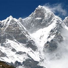
The mountain was first successfully climbed in 1963 by Edmund Hillary and his team including David Dornan, Tom Frost, Michael Gill, and Jim Wilson. This expedition was part of the early mountaineering activity in the region that brought attention to the peaks in this area.
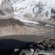
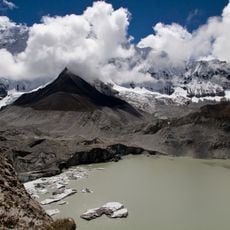
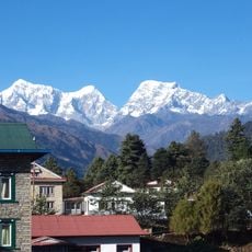
The name Kangtega comes from local language and means Snow Saddle, reflecting how geographical features shape the names people give to mountains in this region. The peak sits above several inhabited valleys where local communities have lived for generations, making it a landmark that connects the villages to their surroundings.
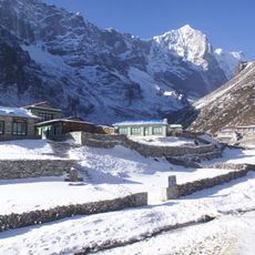
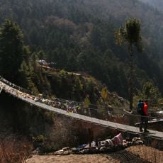
Mountaineers attempting Kangtega need permits from Nepalese authorities and typically trek through Sagarmatha National Park to reach the base camp area. The best climbing seasons are autumn and spring when weather is more stable and visibility is clearer for navigation.
The Northeast Buttress was first climbed in alpine style in October 1986 by Jay Smith, Mark Hesse, Craig Reason, and Paul Teare, a notable achievement on this steep face. This route is more technically demanding than earlier approaches and remains rarely attempted by climbers today.
The community of curious travelers
AroundUs brings together thousands of curated places, local tips, and hidden gems, enriched daily by 60,000 contributors worldwide.