Jhapa District, Administrative division in Eastern Nepal
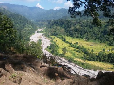
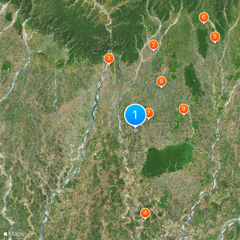
Jhapa is an administrative district in Eastern Nepal that spans varied terrain, from flat plains to hilly regions. The district comprises multiple municipalities and is bordered by the Mechi River and India's Darjeeling district to the east.
The district's name comes from the Rajbanshi Surjapuri language, reflecting its deep roots in historical ethnic settlements. This linguistic heritage connects present-day communities to the long-standing presence of diverse groups in the area.
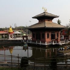
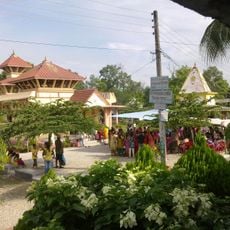
The district is home to many ethnic groups including Limbu, Rai, and Brahmin communities, each maintaining distinct languages, traditions, and religious practices. This diversity shapes daily life, celebrations, and the character of settlements across the region.
The district is connected by road networks to other parts of Nepal and India, particularly through the Kakarbhitta-Mechinagar border crossing. Travelers should prepare for varied weather conditions and terrain that change with the season and elevation.
The district experiences temperature swings from cold winters to hot summers, with heavy seasonal rainfall that supports varied farming across different elevations. These climate patterns have shaped agricultural methods and food production in the region for generations.
The community of curious travelers
AroundUs brings together thousands of curated places, local tips, and hidden gems, enriched daily by 60,000 contributors worldwide.