
Santa Elena, municipality of the Philippines in the province of Camarines Norte
Location: Camarines Norte
Elevation above the sea: 68 m
Shares border with: Capalonga, Tagkawayan
GPS coordinates: 14.17972,122.39194
Latest update: April 17, 2025 20:40
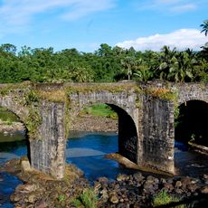
Malagonlong Bridge
85.7 km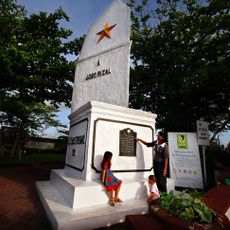
Jose Rizal Monument
61.2 km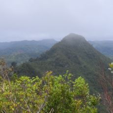
Quezon Protected Landscape
71.2 km
Bicol Natural Park
66.2 km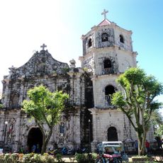
Gumaca Cathedral
42.7 km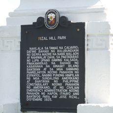
Rizal Hill Park historical marker
71.3 km
Atimonan Church
54.5 km
Mauban Church
71.4 km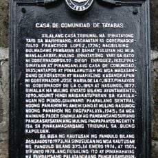
Casa de Comunidad de Tayabas historical marker
88.1 km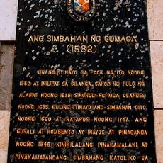
The Church of Gumaca historical marker
42.7 km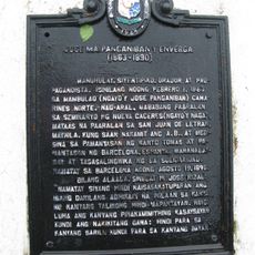
Jose Ma. Panganiban y Enverga historical marker
34.6 km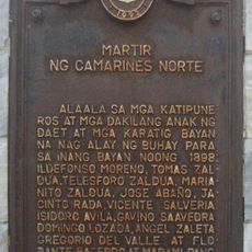
Martyr of Camarines Norte historical marker
61.2 km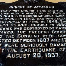
Church of Atimonan historical marker
54.5 km
Catanauan Cove
66.2 km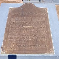
Monument for Peace historical marker
62.1 km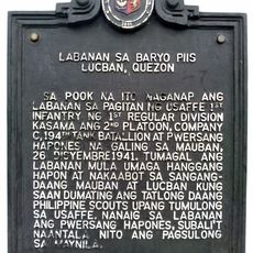
Battle of Barrio Piis historical marker
86 km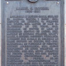
Manuel S. Enverga historical marker
71.2 km
Parroquia de San Juan Bautista
61.4 km
Pueblo por la Playa
79.7 km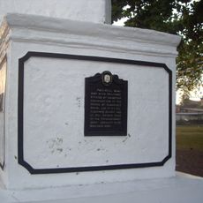
First Rizal Monument historical marker
61.2 km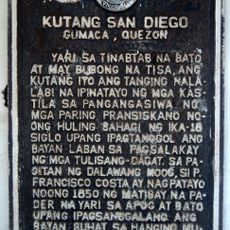
Fort San Diego historical marker
42.5 km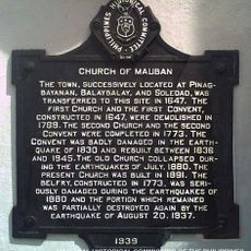
Church of Mauban historical marker
71.4 km
Rizal Park
61.2 km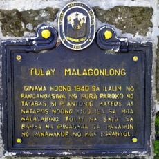
Malagonlong Bridge historical marker
85.7 km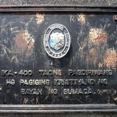
400th Anniversary of the Christianization of the Town of Gumaca historical marker
42.9 km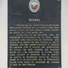
Tayabas historical marker
88 km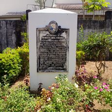
Birthplace of Wenceslao Q. Vinzons historical marker
55.6 km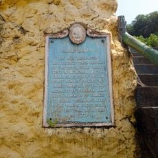
Iskong Bantay historical marker
54.4 kmVisited this place? Tap the stars to rate it and share your experience / photos with the community! Try now! You can cancel it anytime.
Discover hidden gems everywhere you go!
From secret cafés to breathtaking viewpoints, skip the crowded tourist spots and find places that match your style. Our app makes it easy with voice search, smart filtering, route optimization, and insider tips from travelers worldwide. Download now for the complete mobile experience.

A unique approach to discovering new places❞
— Le Figaro
All the places worth exploring❞
— France Info
A tailor-made excursion in just a few clicks❞
— 20 Minutes