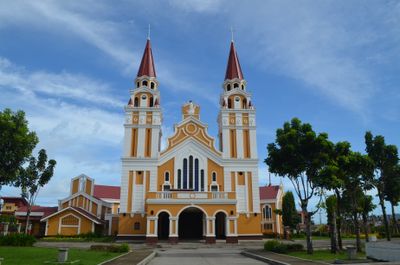
Palo, Administrative division in Leyte Province, Philippines.
Palo is a municipality in Leyte Province on the Philippines and serves as a local administrative center for the surrounding region. The town organizes basic services and administration for its residents through various municipal offices and local authorities.
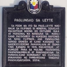
Palo was established as a municipality during the early Spanish colonial administration and evolved through subsequent administrative reforms. The town structure reflects transitions from colonial systems to modern Philippine municipal procedures.
Local government offices in Palo coordinate with community leaders to maintain traditions and practices specific to the Leyte region throughout the year.
Visitors can explore the municipality during regular business hours, with most local services concentrated in the municipal offices. It is helpful to know the location of the administrative center to access information or make local inquiries.
Palo's geographical coordinates at 11.1575 latitude and 124.99083333 longitude position it strategically within the administrative network of Leyte Province.
The community of curious travelers
AroundUs brings together thousands of curated places, local tips, and hidden gems, enriched daily by 60,000 contributors worldwide.