Opatów, Administrative municipality in Świętokrzyskie Voivodeship, Poland
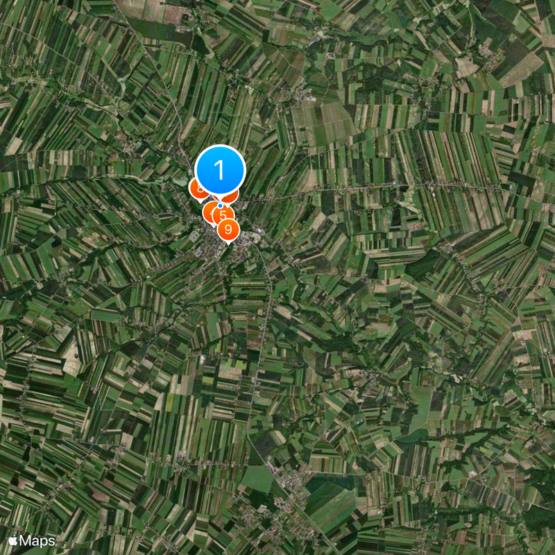
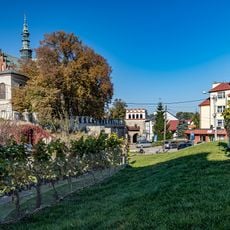
Opatów is a municipality in Świętokrzyskie Voivodeship in south-central Poland, consisting of an urban center and several rural settlements. The territory spans elevations from 206 to 280 meters and combines built-up areas with open landscape.
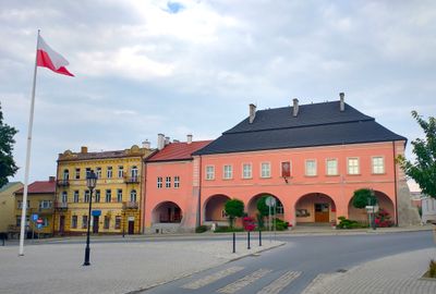
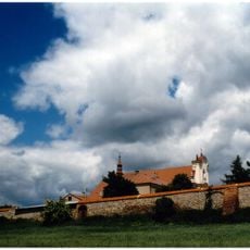
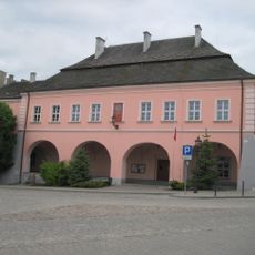
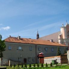
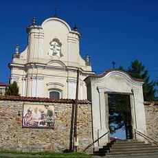
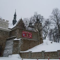
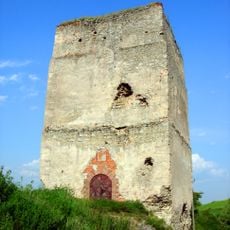
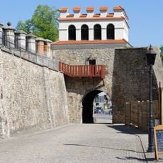
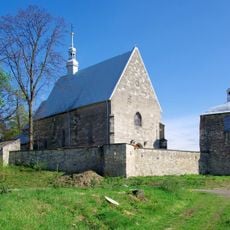
The town was founded in 1282 and developed over centuries into an administrative center in the Świętokrzyskie region. Its long history reflects the evolution of the area.
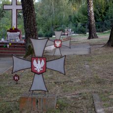
The town hosts regular festivals where locals and visitors gather to celebrate regional traditions and historical events that shape community identity. These gatherings create a sense of connection to the area's past and present.
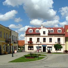
The municipality has an administrative center serving over 12,000 residents with government services, utilities management, and waste collection. Visitors will find shops, public services, and basic facilities typical of a functioning town.
The municipality has an unusual administrative structure that links an urban core with numerous villages, creating a distinctive example of how rural regions are organized. This blend of town and countryside shapes daily life here.
Location: Gmina Opatów
Inception: 1282
Website: http://umopatow.pl
GPS coordinates: 50.80500,21.42472
Latest update: December 17, 2025 08:55
Klasztor Bernardynów w Opatowie
455 m
Dungeons under Opatów
440 m
Podziemna trasa turystyczna
439 m
Opatów Town Hall
494 m
Mogiła powstańców z 1863 r. w Opatowie
53 m
Grave of Ludwik Zwierzdowski
153 m
Church of the Assumption
419 m
Jewish cemetery in Opatów
796 m
Mogiła ks. Przybyłowskiego
310 m
Kościół św. Idziego, lata 1906-1910
3.9 km
St Martin's Collegiate Church, Opatow
377 m
Brama Warszawska
313 m
Parish cemetery in Opatów
789 m
Obwarowania cmentarza przykościelnego z wieżą bramną, murami kurtynowymi, 2 basztami i 3 bastionikami
3.9 km
War cemetery in Opatów
676 m
Dwór w Przeuszyniu
6.3 km
Pozostałości klasztoru, Klasztorna 3 w Opatowie
413 m
Ogrodzenie zespołu klasztornego z bramką na cmentarz przykościelny
382 m
Pozostałości murów obronnych
296 m
Warsaw Gate in Opatów
313 m
Parish cemetery in Włostów
6.4 km
Urban layout of Opatów
423 m
New parish cemetery in Strzyżowice
6.1 km
Tudorów Castle
4.5 km
Manor in Przeuszyn
6.4 km
Zespół murów obronnych
307 m
Zespół kościoła św. Idziego w Podolu
3.9 km
Brama główna z lwami
6.4 kmVisited this place? Tap the stars to rate it and share your experience / photos with the community! Try now! You can cancel it anytime.
Discover hidden gems everywhere you go!
From secret cafés to breathtaking viewpoints, skip the crowded tourist spots and find places that match your style. Our app makes it easy with voice search, smart filtering, route optimization, and insider tips from travelers worldwide. Download now for the complete mobile experience.
A unique approach to discovering new places❞
— Le Figaro
All the places worth exploring❞
— France Info
A tailor-made excursion in just a few clicks❞
— 20 Minutes