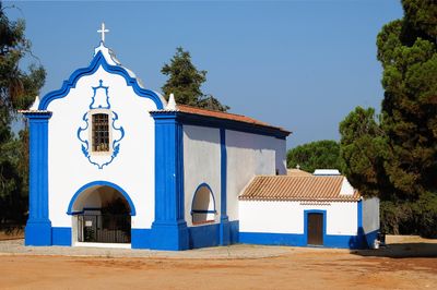
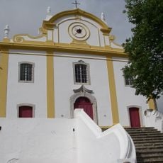
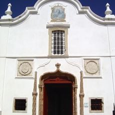
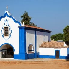
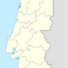
Santo André, Administrative division in Alentejo Litoral, Portugal
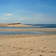
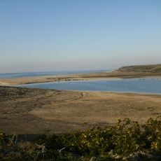
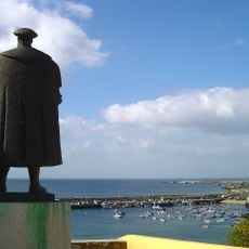
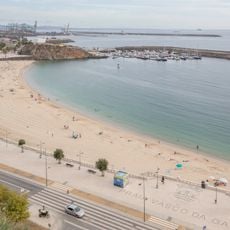
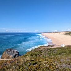
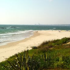
Santo André is an administrative division in Santiago do Cacém municipality, located approximately two kilometers from the Atlantic Ocean. The area encompasses multiple settlement zones with access to coastal environments and inland territory within the Alentejo Litoral region.
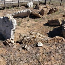
The area underwent industrial transformation starting in the 1970s when the Portuguese government established a petrochemical complex nearby, shifting from agricultural focus to industrial activity. This development shaped settlement patterns and the region's economic direction in subsequent decades.
The region has a temperate climate with dry conditions for most of the year, with rainfall mainly between November and April. Visitors can plan accordingly and take advantage of the proximity to coastal areas for activities and exploration.
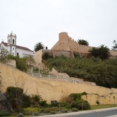
The area is among Portugal's most recently established cities, receiving official city status in 2003 after being created in the 1980s. This relatively recent development makes it an example of modern urban planning in the country.
GPS coordinates: 38.06559,-8.77857
Latest update: December 10, 2025 15:53
Badoca Safari Park
4.2 km
Miróbriga
10.4 km
Praia de São Torpes
16.1 km
Castelo de Santiago do Cacém
9.1 km
Forte de Nossa Senhora das Salvas
15.3 km
Lagoas de Santo André e da Sancha Nature Reserve
3.5 km
Castelo de Sines
14.5 km
Melides beach
7.2 km
Sines Lighthouse
14.8 km
Igreja matriz de Santiago do Cacém
9.1 km
Capela de Nossa Senhora das Salvas
15.1 km
Pego da Moura
20.5 km
Centro de Artes de Sines
14.5 km
Dólmen da Pedra Branca
7.1 km
Museu de Arte Sacra de Santiago de Cacém
9.1 km
Ponte romana de Miróbriga
10.4 km
Museu de Arte Sacra de Grândola
22.3 km
Estátua de Vasco da Gama
14.5 km
Vasco da Gama beach
14.7 km
Praia da Lagoa
13.3 km
Igreja de Nossa Senhora da Assunção, matriz de Grândola
22.1 km
Câmara Municipal de Grândola
22.1 km
Igreja de Nossa Senhora da Graça (casa e fonte)
4 km
Imóvel designado por Sociedade Harmonia
9.1 km
Pelourinho de Santiago do Cacém
9.1 km
Sítio arqueológico romano do Cerrado do Castelo
22 km
Praia de Vale Figueiros
19 km
Praia da Foz (lapyahan sa Distrito de Setúbal)
20.1 kmVisited this place? Tap the stars to rate it and share your experience / photos with the community! Try now! You can cancel it anytime.
Discover hidden gems everywhere you go!
From secret cafés to breathtaking viewpoints, skip the crowded tourist spots and find places that match your style. Our app makes it easy with voice search, smart filtering, route optimization, and insider tips from travelers worldwide. Download now for the complete mobile experience.
A unique approach to discovering new places❞
— Le Figaro
All the places worth exploring❞
— France Info
A tailor-made excursion in just a few clicks❞
— 20 Minutes