
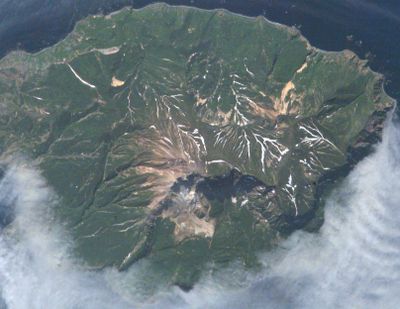
Kuntomintar, mountain in Severo-Kurilsky District, Russia
Location: Severo-Kurilsky District
Elevation above the sea: 828 m
GPS coordinates: 48.75806,154.01444
Latest update: April 5, 2025 17:28
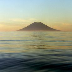
Atlasov Island
259.9 km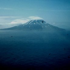
Sarychev Peak
95.5 km
Alaid
258.7 km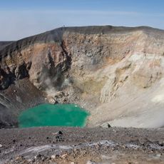
Ebeko
258.4 km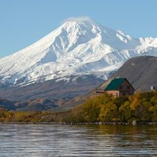
Kambalny
349.7 km
Tao-Rusyr Caldera
82.7 km
Nemo
107 km
Chikurachki
203 km
Zavaritski Caldera
256.5 km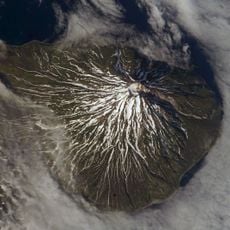
Fuss Peak
190.4 km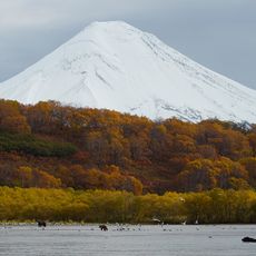
Ilyinsky
380.6 km
Sinarka
17.7 km
Belenkaya
413.9 km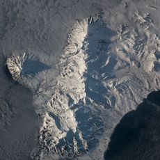
Karpinsky Group
182.9 km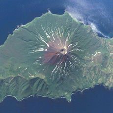
Prevo Peak
240.7 km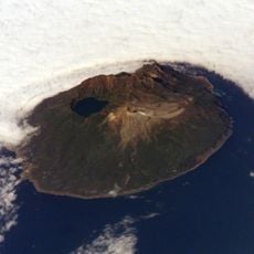
Pallas Volcano
194.6 km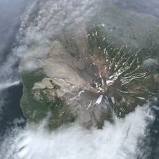
Severgin Volcano
54.5 km
Kell
401.1 km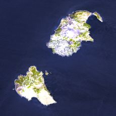
Vulkan Chernoga
343.1 km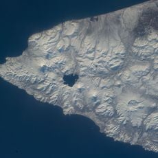
Zheltovsky
392.9 km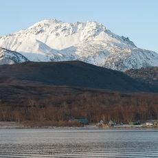
Diky Greben
367 km
Raikoke
76.4 km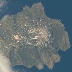
Екарма (вулкан)
21.7 km
Mashkovtsev
326.1 km
Rasshua
133.7 km
Antsiferov Volcano
174.9 km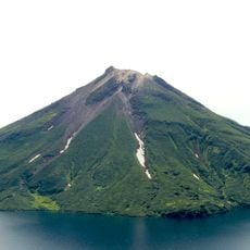
Krenitsyn Volcano
83.1 km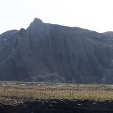
Vulkan Taketomi
261.1 kmReviews
Visited this place? Tap the stars to rate it and share your experience / photos with the community! Try now! You can cancel it anytime.
Discover hidden gems everywhere you go!
From secret cafés to breathtaking viewpoints, skip the crowded tourist spots and find places that match your style. Our app makes it easy with voice search, smart filtering, route optimization, and insider tips from travelers worldwide. Download now for the complete mobile experience.

A unique approach to discovering new places❞
— Le Figaro
All the places worth exploring❞
— France Info
A tailor-made excursion in just a few clicks❞
— 20 Minutes