Kukisvumchorr, Mountain summit in Murmansk region, Russia.
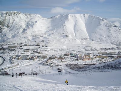
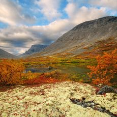
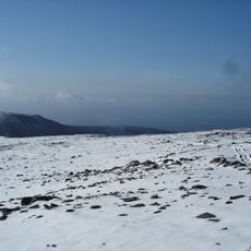
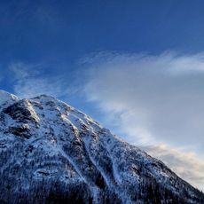
Koukisvoumtchorr is the highest summit of the Khibiny massif on the Kola Peninsula, reaching 1,143 m above sea level. It is built of nepheline syenite, with steep slopes covered in forest-tundra vegetation and flat, stony tops. Two glaciers lie in its northern part, and the Vudjavrjok river flows along its western side.
During the Soviet era, the area around this mountain was a major mining center with numerous mineral extraction operations. This industrial activity shaped the region for decades and left marks on both the landscape and settlement patterns.
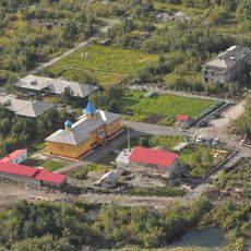
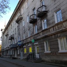
The name Kukisvumchorr comes from the Sami name for the massif, meaning "mountain massif by the long valley"; the geologist Wilhelm Ramsay first recorded it in the Akkala Sami dialect of Imandra. The microdistrict of Kirovsk at the foot of the mountain took the same name when it grew up around the mine.
The mountain rises just north of Kirovsk, and the Kukisvumchorr microdistrict at its foot is reached by local road; the ski area on the southern slope hosts annual freeride competitions. The summit itself is bare rock, while the steep slopes carry tundra vegetation, so the approach crosses open, exposed ground. Two glaciers lie in the northern part of the massif.
The massif is made of nepheline syenite, and the same rock gave its name to the Kukisvumchorr microdistrict of Kirovsk at its foot, where apatite-nepheline ore is mined by Apatit. A magnitude 3.2 earthquake on 21 October 2010, felt as far as Murmansk, caused only minor damage at the nearby mine.
The community of curious travelers
AroundUs brings together thousands of curated places, local tips, and hidden gems, enriched daily by 94,239 contributors worldwide.