Enable Location

We need your location to show you interesting places around you

Discover nearby places

Find interesting locations and hidden gems around you

Precise directions

Get accurate directions and distances to places

Your location is never shared with other users. It's only used when you tap the location button.

Východná Vysoká

Log in to your account

Start exploring — it's free

Trusted by 62,087 travelers worldwide

Continue with Google
Continue with Apple
or

We will send you a code to connect

By continuing, you accept our Terms and Conditions and our Privacy Policy

Check your inbox

We've sent a pincode in your inbox. Please enter the code below.

Východná Vysoká

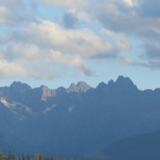
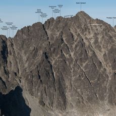
Východná Vysoká, Mountain summit in High Tatras, Slovakia

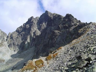
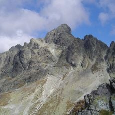
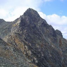
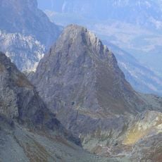
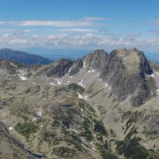
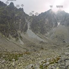
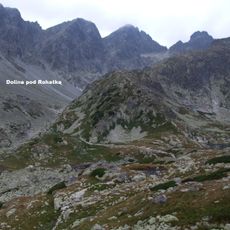
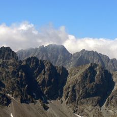
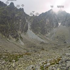
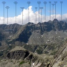
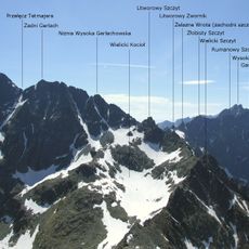
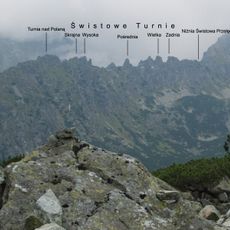
Východná Vysoká is a mountain summit in the High Tatras with a distinctive pyramid shape at the junction of ridge systems. The peak rises prominently above the surrounding terrain, marking a key point in the landscape's natural geography.

The summit was first documented as climbed in 1888 and became part of the High Tatras mountaineering tradition. Early exploration of the peak contributed to establishing the region as a destination for mountain climbers.

The mountain name changed from Malá Vysoká to Východná Vysoká in the early 20th century, reflecting the Slovak language designation for Eastern High Peak.

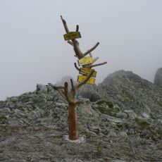
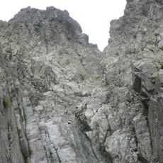
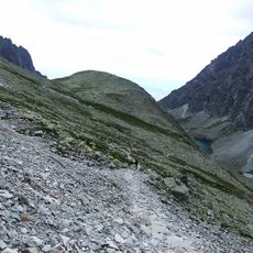
The main route starts from Polski Grzebień Pass and follows yellow-marked trails to the summit in roughly one hour of walking. Proper footwear and weather awareness are important since mountain conditions can change rapidly at this elevation.

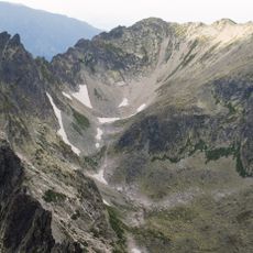
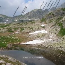
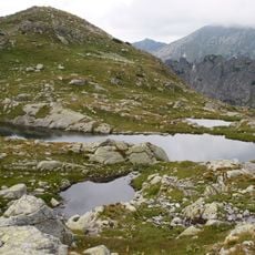
From the summit, visitors can spot mountain lakes scattered across the surrounding valleys below. These water bodies provide natural reference points when orienting across the broader landscape during the descent.

The community of curious travelers

AroundUs brings together thousands of curated places, local tips, and hidden gems, enriched daily by 60,000 contributors worldwide.

Start exploring
Location
Elevation above the sea
2,429 m
GPS coordinates
49.17528,20.14546
Latest update
December 10, 2025 16:20
« Východná Vysoká - Mountain summit in High Tatras, Slovakia » is provided by Around Us (aroundus.com). Images and texts are derived from Wikimedia project under a Creative Commons license. You are allowed to copy, distribute, and modify copies of this page, under the conditions set by the license, as long as this note is clearly visible.

Discover hidden gems everywhere you go!

From secret cafés to breathtaking viewpoints, skip the crowded tourist spots and find places that match your style. Our app makes it easy with voice search, smart filtering, route optimization, and insider tips from travelers worldwide. Download now for the complete mobile experience.

Around Us App Screenshot

A unique approach to discovering new places

Le Figaro

All the places worth exploring

France Info

A tailor-made excursion in just a few clicks

20 Minutes

Around Us
Travel Guide & Maps
Download

Send to your phone

QR Code
1

Open the camera app on your mobile.

2

Point at the QR code with your camera. A notification will appear.

3

Tap the notification to open the link.