Enable Location

We need your location to show you interesting places around you

Discover nearby places

Find interesting locations and hidden gems around you

Precise directions

Get accurate directions and distances to places

Your location is never shared with other users. It's only used when you tap the location button.

Petržalka

Log in to your account

Start exploring — it's free

Trusted by 64,026 travelers worldwide

Continue with Google
Continue with Apple
or

We will send you a code to connect

By continuing, you accept our Terms and Conditions and our Privacy Policy

Check your inbox

We've sent a pincode in your inbox. Please enter the code below.

Discussion Reviews 1 Photos
19.2k Popularity

Petržalka, borough of Bratislava (Slovakia)

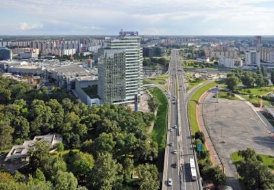
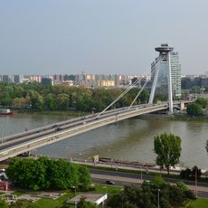
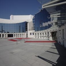
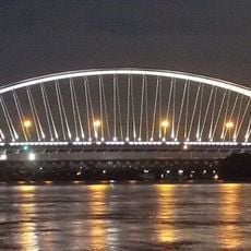
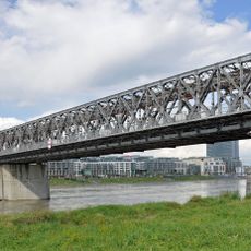
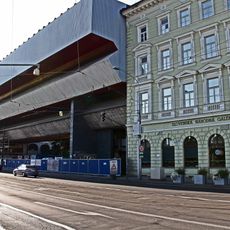
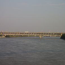
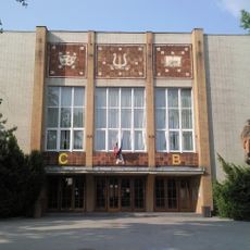
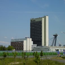
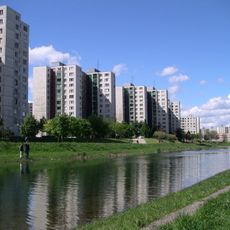
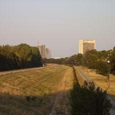
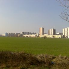
Petržalka is a large residential district on the southern side of the Danube in Bratislava, defined by wide streets and rows of concrete panel apartment buildings. The neighborhood extends across numerous parks, lakes, and green spaces, with comprehensive public transit connecting it through trams, buses, and multiple bridges to the city center.

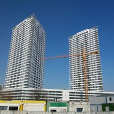
First mentioned in 1225, the area was initially an island landscape repeatedly flooded by the Danube, with sparse permanent settlement until German and other populations arrived in medieval times. In the 20th century, it transformed dramatically: transferred to Czechoslovakia in 1919, occupied by Nazi Germany from 1938 to 1945, then incorporated into Bratislava in 1946 and rapidly developed with large concrete housing blocks from the 1960s onward.

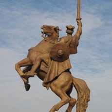
Petržalka developed around working-class families who settled here from the 1960s onward, creating a strong neighborhood identity. Visitors notice everyday life unfolding in the parks and courtyards: children playing, neighbors chatting, and the wide streets serving as informal gathering spaces for the community.

Petržalka is easily accessible by tram, bus, and car, with multiple bridges connecting directly to the city center. The wide streets and parks are pedestrian-friendly, and the riverside area offers running and cycling paths for exploring.

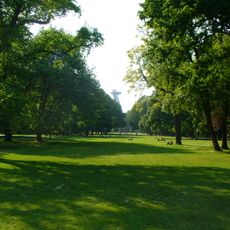
The oldest park in Central Europe, Sad Janka Kráľa, was established here in 1776 and offers visitors a glimpse of the area's older layers. Meanwhile, the district's modern character stems from radical urban transformation that made it one of the densest residential areas in the continent.

The community of curious travelers

AroundUs brings together thousands of curated places, local tips, and hidden gems, enriched daily by 60,000 contributors worldwide.

Start exploring
Location
Elevation above the sea
136 m
GPS coordinates
48.11097,17.11129
Latest update
February 16, 2026 23:01
Reviews
Share your experience

No review yet

Discussions
Start a discussion...

No discussion yet

« Petržalka - borough of Bratislava (Slovakia) » is provided by Around Us (aroundus.com). Images and texts are derived from Wikimedia project under a Creative Commons license. You are allowed to copy, distribute, and modify copies of this page, under the conditions set by the license, as long as this note is clearly visible.

Discover hidden gems everywhere you go!

From secret cafés to breathtaking viewpoints, skip the crowded tourist spots and find places that match your style. Our app makes it easy with voice search, smart filtering, route optimization, and insider tips from travelers worldwide. Download now for the complete mobile experience.

Around Us App Screenshot

A unique approach to discovering new places

Le Figaro

All the places worth exploring

France Info

A tailor-made excursion in just a few clicks

20 Minutes

Around Us
Travel Guide & Maps
Download

Send to your phone

QR Code
1

Open the camera app on your mobile.

2

Point at the QR code with your camera. A notification will appear.

3

Tap the notification to open the link.