Chom Thong, Administrative district in Chiang Mai Province, Thailand.
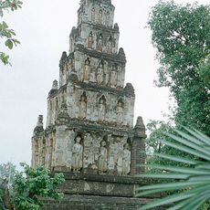
Chom Thong is an administrative district in Chiang Mai Province in Thailand, covering hilly and mountainous terrain that encompasses several villages and temples. The area consists of multiple sub-districts, including Ban Luang, Khuang Pao, and Sop Tia, which together make up the region.
The district was originally administered from Ban Tha Sala until authorities established new administrative buildings in 1933 for regional governance. This change marked an important moment in the development of the district's administrative structure and modernization.
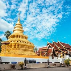
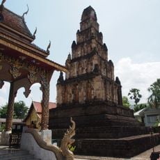
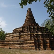
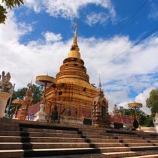
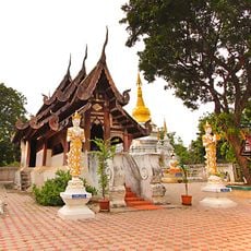
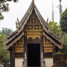
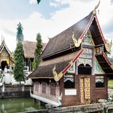
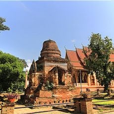
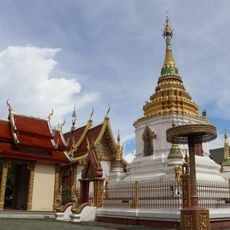
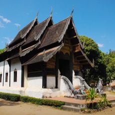
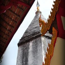
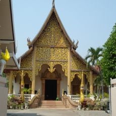
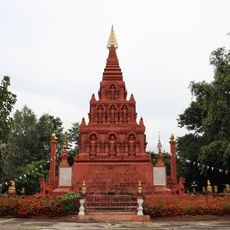
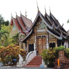
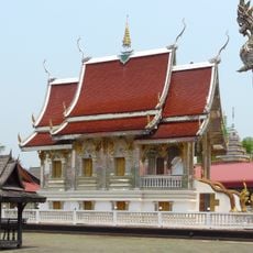
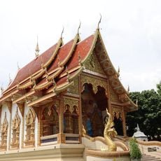
The Wat Phra That Si Chom Thong Worawihan temple sits on a small hill and displays traditional Buddhist architecture as seen throughout northern Thailand. Visitors can observe how local people practice their faith and use the site as a center of spiritual life.
The district connects to Chiang Mai city through direct road connections, with the journey taking around ninety minutes. Visitors should keep in mind that the hilly terrain can affect travel and good footwear is recommended.
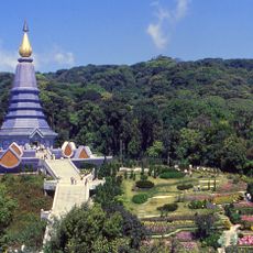
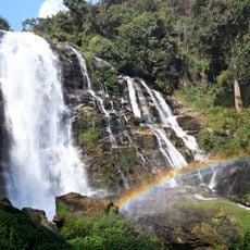
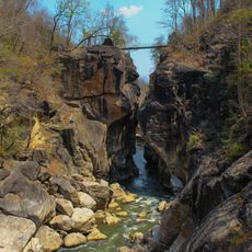
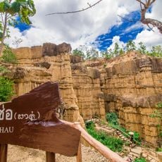
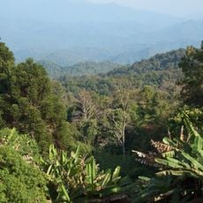
The area is home to Doi Inthanon, Thailand's highest peak, where visitors can hike in cooler climate and experience completely different vegetation from the surrounding lower regions. Additionally, there are agricultural research stations conducting experiments with fruit varieties that would not normally grow in tropical areas.
The community of curious travelers
AroundUs brings together thousands of curated places, local tips, and hidden gems, enriched daily by 60,000 contributors worldwide.