Enable Location

We need your location to show you interesting places around you

Discover nearby places

Find interesting locations and hidden gems around you

Precise directions

Get accurate directions and distances to places

Your location is never shared with other users. It's only used when you tap the location button.

Uthai Thani

Log in to your account

Start exploring — it's free

Trusted by 62,934 travelers worldwide

Continue with Google
Continue with Apple
or

We will send you a code to connect

By continuing, you accept our Terms and Conditions and our Privacy Policy

Check your inbox

We've sent a pincode in your inbox. Please enter the code below.

Discussion Reviews 4 Photos
57k Popularity

Uthai Thani, Administrative province in central Thailand

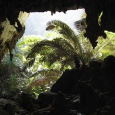
Uthai Thani is a province in central Thailand that stretches from the Chao Phraya River valley to the forested mountain regions in the west. The area includes flat rice fields in the east, rolling countryside in the middle, and dense jungle along the border with Myanmar.

King Chulalongkorn established the province in 1898 after incorporating the area into Monthon Nakhon Sawan in 1892. The western boundary follows older trade routes between Siam and the highlands of Burma.

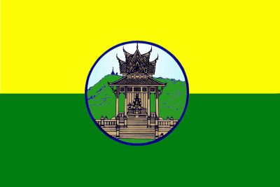
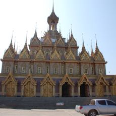
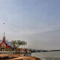
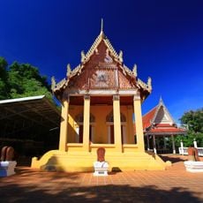
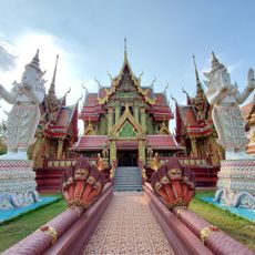
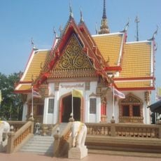
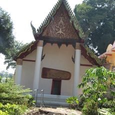
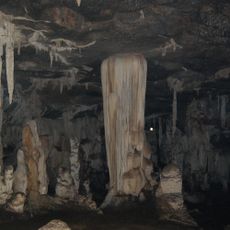
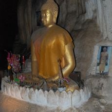
The provincial seal shows the pavilion at Wat Khao Sakae Krang, which holds a Buddha footprint and a statue of Thongdee, King Rama I's father. The Sakae Krang River runs through the capital, giving its name to the central hill where the temple sits.

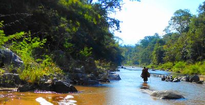
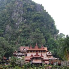
The city of Uthai Thani serves as the administrative center and a starting point for trips into the eight districts of the province. Travelers heading to the western border and wildlife sanctuary should plan several hours of driving on winding mountain roads.

The Huai Kha Khaeng Wildlife Sanctuary at the western border received UNESCO World Heritage designation in 1991, largely for its tiger and elephant populations. This area also supports one of the last large groups of banteng cattle left in Southeast Asia.

The community of curious travelers

AroundUs brings together thousands of curated places, local tips, and hidden gems, enriched daily by 60,000 contributors worldwide.

Start exploring
Location
Capital city
Uthai Thani
Reference
UTI
Shares border with
Nakhon Sawan, Chai Nat, Suphan Buri, Kanchanaburi, Tak
GPS coordinates
15.37333,100.03861
Latest update
December 13, 2025 19:51
Reviews
Share your experience

No review yet

Discussions
Start a discussion...

No discussion yet

« Uthai Thani - Administrative province in central Thailand » is provided by Around Us (aroundus.com). Images and texts are derived from Wikimedia project under a Creative Commons license. You are allowed to copy, distribute, and modify copies of this page, under the conditions set by the license, as long as this note is clearly visible.

Discover hidden gems everywhere you go!

From secret cafés to breathtaking viewpoints, skip the crowded tourist spots and find places that match your style. Our app makes it easy with voice search, smart filtering, route optimization, and insider tips from travelers worldwide. Download now for the complete mobile experience.

Around Us App Screenshot

A unique approach to discovering new places

Le Figaro

All the places worth exploring

France Info

A tailor-made excursion in just a few clicks

20 Minutes

Around Us
Travel Guide & Maps
Download

Send to your phone

QR Code
1

Open the camera app on your mobile.

2

Point at the QR code with your camera. A notification will appear.

3

Tap the notification to open the link.