
Lahan Sai, district in Buri Ram province, Thailand
Location: Buri Ram
Elevation above the sea: 232 m
GPS coordinates: 14.41167,102.86000
Latest update: March 19, 2025 22:23
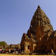
Phanom Rung historical park
16 km
Chang International Circuit
66 km
Chang Arena
66.8 km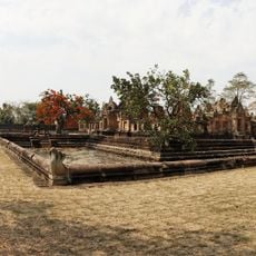
Prasat Muang Tam
16.2 km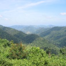
Dong Phayayen-Khao Yai Forest Complex
87.8 km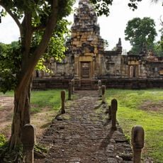
Sdok Kok Thom
64.6 km
Pang Sida National Park
74.5 km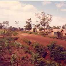
Nong Samet Refugee Camp
66 km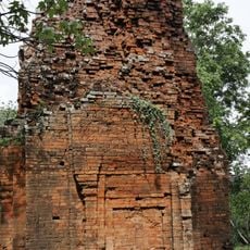
Ta Phraya National Park
23.4 km
Khao Kradong Stadium
65 km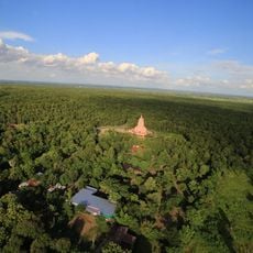
Wat Pa Khao Noi
63 km
Wat Burapharam
86.1 km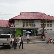
Buriram Railway Station
71.1 km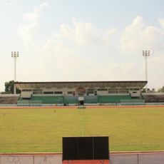
Sri Narong Stadium
85.8 km
Buri Ram Castle
66.6 km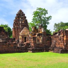
Kuti Ruesi - 2
16 km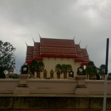
Wat Klang
70.6 km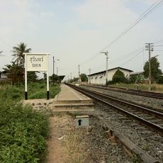
Surin railway station
86.7 km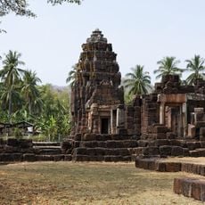
Kuti Reussi n°1 (Ban Nong Bea Lai)
17.3 km
Lalu
49.1 km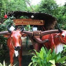
วัดป่าหลวงปู่หมุน
86.6 km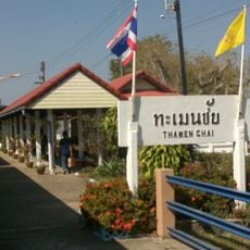
Thamen Chai Station
69.1 km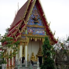
Wat Prasat Burapharam
16.3 km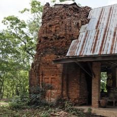
Prasat Khao Lon
43.2 km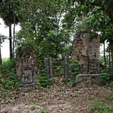
Prasat Beng
79.9 km
Wat Trai Siri Monkhon
55.4 km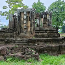
Prang Pha Kho
80.5 km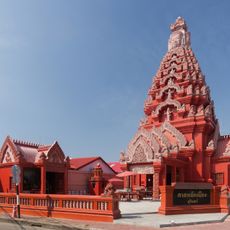
Surin city pillar shrine
85.8 kmReviews
Visited this place? Tap the stars to rate it and share your experience / photos with the community! Try now! You can cancel it anytime.
Discover hidden gems everywhere you go!
From secret cafés to breathtaking viewpoints, skip the crowded tourist spots and find places that match your style. Our app makes it easy with voice search, smart filtering, route optimization, and insider tips from travelers worldwide. Download now for the complete mobile experience.

A unique approach to discovering new places❞
— Le Figaro
All the places worth exploring❞
— France Info
A tailor-made excursion in just a few clicks❞
— 20 Minutes