
Mykolayivka, village in Kropyvnytskyi Raion, Kirovohrad Oblast, Ukraine
Location: Kropyvnytskyi Raion
Location: Kropyvnytskyi Raion
Elevation above the sea: 155 m
GPS coordinates: 48.48306,31.94889
Latest update: March 14, 2025 18:06
Kirovohrad Academic Ukrainian Music and Drama Theater
23.1 km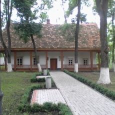
Khutir Nadia
0 m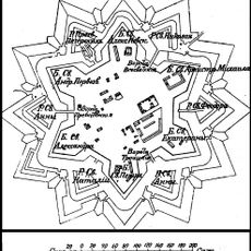
Saint Elisabeth Fortress
22.6 km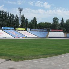
Zirka Stadium
23.7 km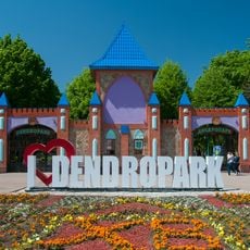
Park of the 50th Anniversary of October, Kirovohrad
21 km
Nove, Kropyvnytskyi municipality
14.2 km
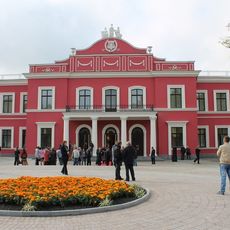
Kirovohrad Oblast Council
23.6 km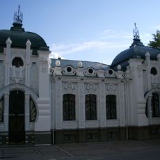
Museum of Regional Studies
23.8 km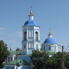
Orthodox church of the Nativity of the Theotokos in Kropyvnytskyi
23.1 km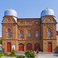
Great Synagogue in Kropyvnytskyi
23.6 km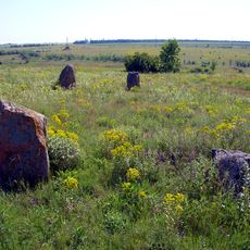
Boundary stones
26.2 km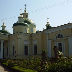
Church of the Transfiguration, Kropyvnytskyi
23.6 km
Park Peremohy
22.9 km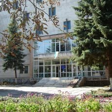
State Archive of Kirovohrad Oblast
21.3 km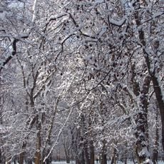
Kovalivka Park
25.2 km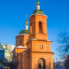
Saint Volodymyr the Great church, Kropyvnytskyi
23.7 km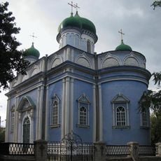
Intercession of the Theotokos church, Kropyvnytskyi
23 km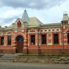
Memorial museum of Oleksandr Osmerkin
24.4 km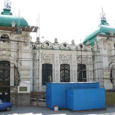
40 Arkhitektora Pauchenka Street, Kropyvnytskyi
23.8 km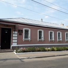
Ivan Karpenko-Karyi Memorial Museum
22.5 km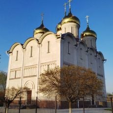
Elisabetin luostari
21.4 km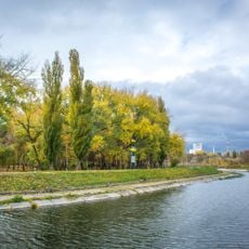
Козачий острів
22.8 km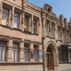
Музей Генріха Нейгауза
23.7 km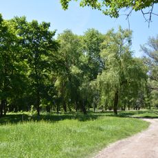
Park Kosmonavtiv
22.8 km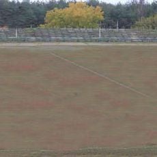
Spartak-ARZ Stadium
23.8 km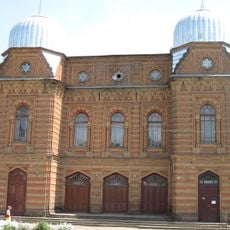
Історичний музей «Євреї Єлисаветграда»
23.7 km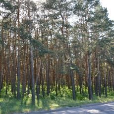
Pine trees near Lisoparkova blvd.
22.9 km
Кіровоградський державний музей музичної культури імені Кароля Шимановського
23.7 kmReviews
Visited this place? Tap the stars to rate it and share your experience / photos with the community! Try now! You can cancel it anytime.
Discover hidden gems everywhere you go!
From secret cafés to breathtaking viewpoints, skip the crowded tourist spots and find places that match your style. Our app makes it easy with voice search, smart filtering, route optimization, and insider tips from travelers worldwide. Download now for the complete mobile experience.

A unique approach to discovering new places❞
— Le Figaro
All the places worth exploring❞
— France Info
A tailor-made excursion in just a few clicks❞
— 20 Minutes