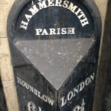
Hammersmith, District in West London, England
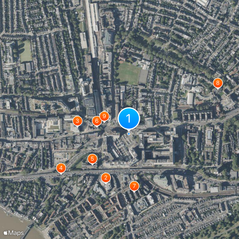
Hammersmith sits on the north bank of the Thames between Shepherd's Bush, Kensington, Chiswick, and Fulham, forming a commercial and residential neighborhood in west London. The area includes shopping centers, office towers, public squares, and two large Underground stations that link the district to the center.
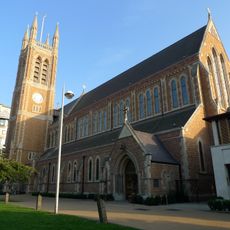
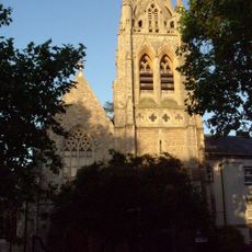
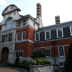
A 13th-century smithy gave the place its name, and in 1631 a separate parish formed with a church built in the 1660s. During the 20th century the area grew into a major transport hub through the construction of Underground lines and office buildings.
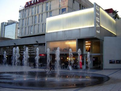
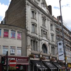
The name comes from a medieval smithy that once worked beside the Thames. Visitors today come for concerts at the Apollo and for walks along the riverside paths.
Two Underground stations serve several lines and connect the district to the city center and western suburbs. Shopping centers and markets sit near the main roads, so pedestrians can reach most shops and cafés without long walks.
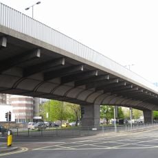
Three Underground lines meet at a single station, creating one of the busiest interchange points in west London. The Thames bridge at the center ranks among the most heavily used river crossings in the city, linking the north directly to Fulham.
The community of curious travelers
AroundUs brings together thousands of curated places, local tips, and hidden gems, enriched daily by 60,000 contributors worldwide.