Enable Location

We need your location to show you interesting places around you

Discover nearby places

Find interesting locations and hidden gems around you

Precise directions

Get accurate directions and distances to places

Your location is never shared with other users. It's only used when you tap the location button.

Woburn

Log in to your account

Start exploring — it's free

Trusted by 61,956 travelers worldwide

Continue with Google
Continue with Apple
or

We will send you a code to connect

By continuing, you accept our Terms and Conditions and our Privacy Policy

Check your inbox

We've sent a pincode in your inbox. Please enter the code below.

Woburn, Colonial settlement in Middlesex County, Massachusetts, United States

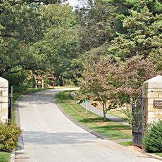
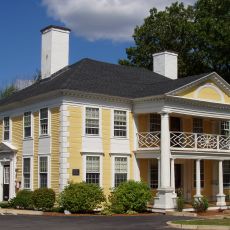
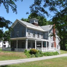
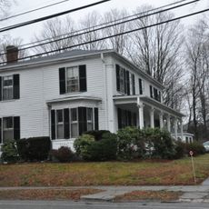
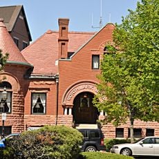
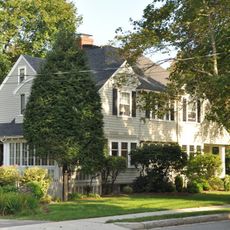
Woburn is a town in Middlesex County in northeastern Massachusetts, located about 10 miles (16 kilometers) north of Boston. The community spreads across gently rolling terrain with residential neighborhoods, commercial districts, and several historic town centers along main roads.

English settlers founded the community in 1640 near Horn Pond and received official incorporation as a town in 1642. During the 19th century, the area grew through tanning and leather industries, with railway connections arriving later.

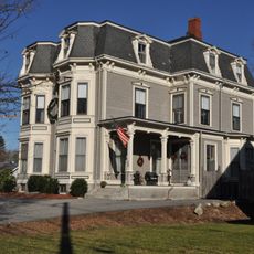
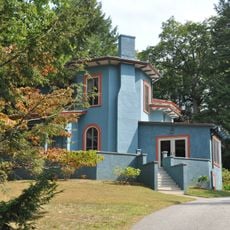
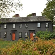
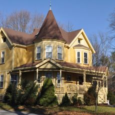
The town takes its name from Woburn in Bedfordshire, England, a connection carried by early colonists from their homeland. Several historic buildings and street names today recall this transatlantic root.

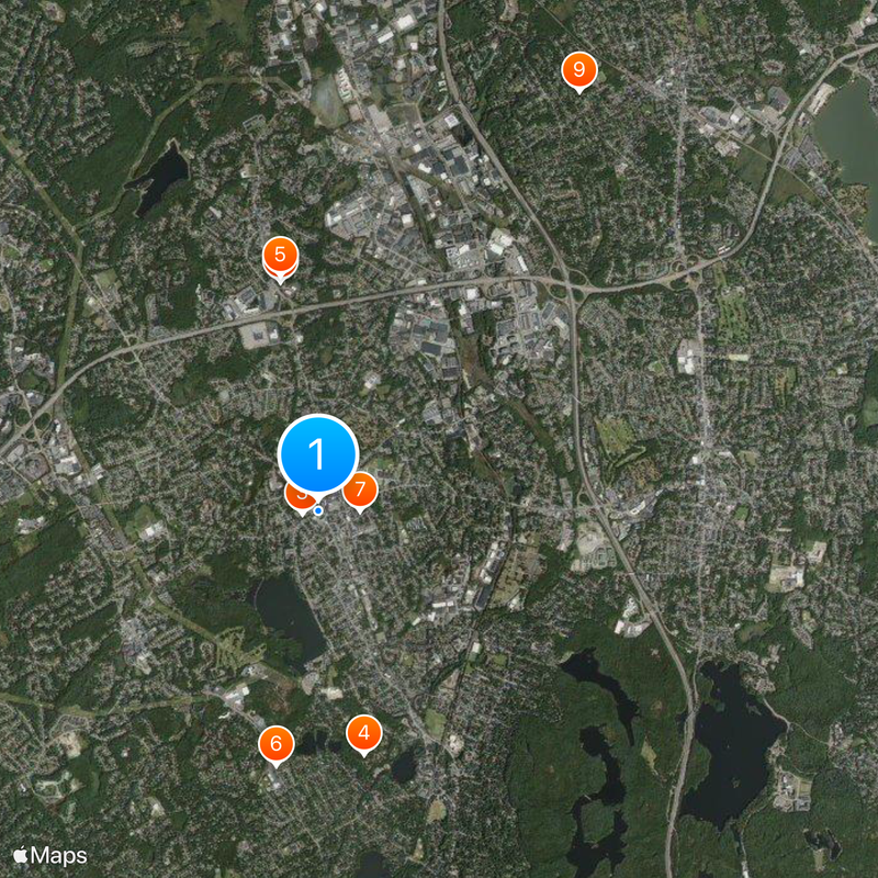
The Anderson Regional Transportation Center offers connections via Amtrak and MBTA Commuter Rail to Boston and surrounding areas. Most points of interest lie along Main Street and are easily reached by car or public transit.

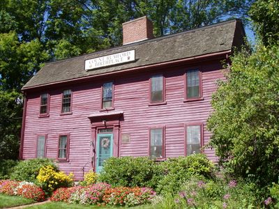
The Rumford House preserves the legacy of Benjamin Thompson with models of his scientific experiments from the 18th century. Thompson invented the Rumford stove and founded the Royal Institution in London before moving to Europe.

The community of curious travelers

AroundUs brings together thousands of curated places, local tips, and hidden gems, enriched daily by 60,000 contributors worldwide.

Start exploring
Location
Inception
1640
Elevation above the sea
30 m
GPS coordinates
42.47917,-71.15278
Latest update
December 17, 2025 07:34
Around this place
Baldwin House
United States of America

Baldwin House

2.6 km
Winn Memorial Library
United States of America

Winn Memorial Library

185 m
Wildwood Cemetery
United States of America

Wildwood Cemetery

2.8 km
1790 House
United States of America

1790 House

2.7 km
Henry Grover House
United States of America

Henry Grover House

2.9 km
Benjamin Thompson House-Count Rumford Birthplace
United States of America

Benjamin Thompson House-Count Rumford Birthplace

456 m
First Burial Ground
United States of America

First Burial Ground

235 m
Kemp Place
United States of America

Kemp Place

5.5 km
Ephraim Weston House
United States of America

Ephraim Weston House

5.1 km
Winchester Town Hall
United States of America

Winchester Town Hall

3.3 km
Winchester Savings Bank
United States of America

Winchester Savings Bank

3.2 km
House at 242 Summer Avenue
United States of America

House at 242 Summer Avenue

5.4 km
Edwin Bassett House
United States of America

Edwin Bassett House

5.4 km
Brackett House
United States of America

Brackett House

5.3 km
Mark Temple House
United States of America

Mark Temple House

5.7 km
Edward Braddock House
United States of America

Edward Braddock House

3.1 km
Winchester Center Historic District
United States of America

Winchester Center Historic District

3.3 km
Woburn Street Historic District
United States of America

Woburn Street Historic District

5.6 km
Asa M. Cook House
United States of America

Asa M. Cook House

5.6 km
House at 199 Summer Avenue
United States of America

House at 199 Summer Avenue

5.5 km
Durgin House
United States of America

Durgin House

5.5 km
Samuel Bancroft House
United States of America

Samuel Bancroft House

5.1 km
Charles Wells House
United States of America

Charles Wells House

5.5 km
Wisteria Lodge
United States of America

Wisteria Lodge

5.7 km
Edward A. Brackett House
United States of America

Edward A. Brackett House

3.8 km
Jabez Weston House
United States of America

Jabez Weston House

4.4 km
House at 77 Howard Street
United States of America

House at 77 Howard Street

4.9 km
House at 206 West Street
United States of America

House at 206 West Street

5.1 km
Show the full map
« Woburn - Colonial settlement in Middlesex County, Massachusetts, United States » is provided by Around Us (aroundus.com). Images and texts are derived from Wikimedia project under a Creative Commons license. You are allowed to copy, distribute, and modify copies of this page, under the conditions set by the license, as long as this note is clearly visible.

Discover hidden gems everywhere you go!

From secret cafés to breathtaking viewpoints, skip the crowded tourist spots and find places that match your style. Our app makes it easy with voice search, smart filtering, route optimization, and insider tips from travelers worldwide. Download now for the complete mobile experience.

Around Us App Screenshot

A unique approach to discovering new places

Le Figaro

All the places worth exploring

France Info

A tailor-made excursion in just a few clicks

20 Minutes

Around Us
Travel Guide & Maps
Download

Send to your phone

QR Code
1

Open the camera app on your mobile.

2

Point at the QR code with your camera. A notification will appear.

3

Tap the notification to open the link.