Enable Location

We need your location to show you interesting places around you

Discover nearby places

Find interesting locations and hidden gems around you

Precise directions

Get accurate directions and distances to places

Your location is never shared with other users. It's only used when you tap the location button.

Methuen

Log in to your account

Start exploring — it's free

Trusted by 62,992 travelers worldwide

Continue with Google
Continue with Apple
or

We will send you a code to connect

By continuing, you accept our Terms and Conditions and our Privacy Policy

Check your inbox

We've sent a pincode in your inbox. Please enter the code below.

Discussion Reviews 4 Photos
42.8k Popularity

Methuen, Industrial city in Essex County, Massachusetts

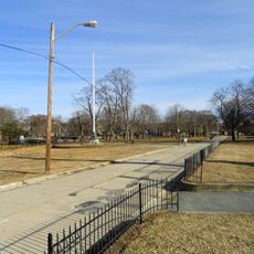
Methuen is a city in Essex County, Massachusetts, situated where the Merrimack and Spicket Rivers meet. The town spans about 23 square miles and sits as a natural boundary between Lawrence and Haverhill.

The settlement began in 1642 as part of Haverhill and became independent when it incorporated in 1725. It was named after Sir Paul Methuen, a British diplomat, reflecting the region's early ties to Britain.

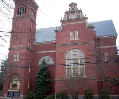
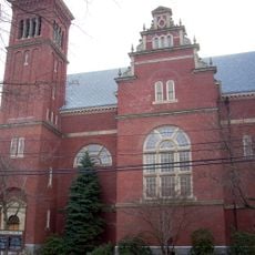
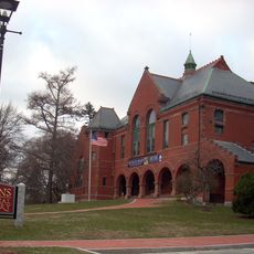
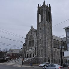
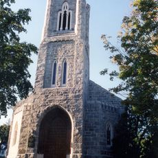
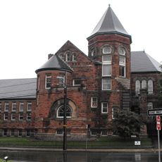
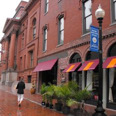
You will find a concert hall from 1893 that houses one of the country's oldest surviving pipe organs with an ornately carved case. The building reflects how wealthy industrial families once invested in arts and music, making this a center for cultural life in the region.

Interstate highways 93 and 495 provide quick access to Boston and Manchester from the city. Local bus services operated by the Merrimack Valley Regional Transit Authority connect different parts of town and nearby communities.

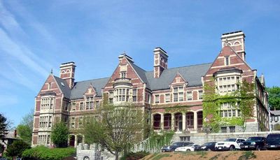
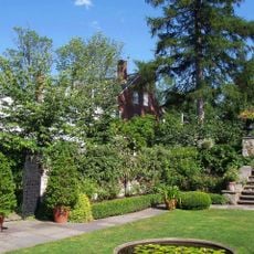
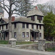
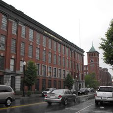
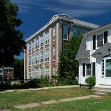
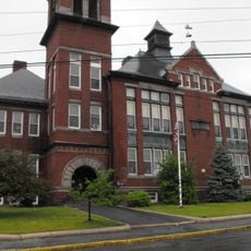
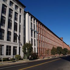
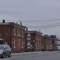
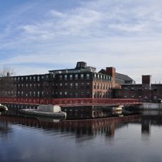
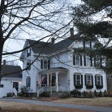
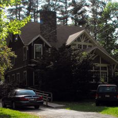
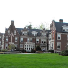
A historic district preserves many houses from the 1800s that were built by wealthy factory owners and industrial families. These buildings reveal how prosperous the area once was and how much power industrialists held in the region.

The community of curious travelers

AroundUs brings together thousands of curated places, local tips, and hidden gems, enriched daily by 60,000 contributors worldwide.

Start exploring
Location
Inception
1642
Elevation above the sea
35 m
Part of
Merrimack Valley
GPS coordinates
42.72611,-71.19139
Latest update
December 14, 2025 21:17
Around this place
Canobie Lake Park
United States of America

Canobie Lake Park

8.7 km
Canobie Corkscrew
United States of America

Canobie Corkscrew

8.9 km
Greycourt State Park
United States of America

Greycourt State Park

940 m
Methuen Memorial Music Hall
United States of America

Methuen Memorial Music Hall

524 m
The Stevens-Coolidge Place
United States of America

The Stevens-Coolidge Place

7.8 km
Tenney Castle Gatehouse
United States of America

Tenney Castle Gatehouse

678 m
Nevins Memorial Library
United States of America

Nevins Memorial Library

562 m
Arlington Mills Historic District
United States of America

Arlington Mills Historic District

1.4 km
Shawsheen Village Historic District
United States of America

Shawsheen Village Historic District

6.9 km
Sacred Heart Parish Complex
United States of America

Sacred Heart Parish Complex

4.9 km
Searles High School
United States of America

Searles High School

751 m
First Church Congregational
United States of America

First Church Congregational

604 m
United States of America

Veterans Memorial Stadium

5.5 km
John R. Rollins School
United States of America

John R. Rollins School

3.8 km
Wood Worsted Mill
United States of America

Wood Worsted Mill

4.1 km
Double-arch Sandstone Bridge
United States of America

Double-arch Sandstone Bridge

2.3 km
Campagnone Common
United States of America

Campagnone Common

3.2 km
Old Public Library
United States of America

Old Public Library

2.7 km
American Woolen Company Townhouses
United States of America

American Woolen Company Townhouses

4.1 km
Machine Shop Village District
United States of America

Machine Shop Village District

6 km
Spicket Falls Historic District
United States of America

Spicket Falls Historic District

192 m
Downtown Lawrence Historic District
United States of America

Downtown Lawrence Historic District

3.2 km
Timothy P. Bailey House
United States of America

Timothy P. Bailey House

5.4 km
Ararat Armenian Congregational Church
United States of America

Ararat Armenian Congregational Church

4.4 km
James E. Simpson House
United States of America

James E. Simpson House

2.4 km
Engine House No. 6
United States of America

Engine House No. 6

3.7 km
Henry C. Nevins Home for Aged and Incurables
United States of America

Henry C. Nevins Home for Aged and Incurables

898 m
Joseph Perkins House
United States of America

Joseph Perkins House

4.3 km
Show the full map
Reviews
Share your experience

No review yet

Discussions
Start a discussion...

No discussion yet

« Methuen - Industrial city in Essex County, Massachusetts » is provided by Around Us (aroundus.com). Images and texts are derived from Wikimedia project under a Creative Commons license. You are allowed to copy, distribute, and modify copies of this page, under the conditions set by the license, as long as this note is clearly visible.

Discover hidden gems everywhere you go!

From secret cafés to breathtaking viewpoints, skip the crowded tourist spots and find places that match your style. Our app makes it easy with voice search, smart filtering, route optimization, and insider tips from travelers worldwide. Download now for the complete mobile experience.

Around Us App Screenshot

A unique approach to discovering new places

Le Figaro

All the places worth exploring

France Info

A tailor-made excursion in just a few clicks

20 Minutes

Around Us
Travel Guide & Maps
Download

Send to your phone

QR Code
1

Open the camera app on your mobile.

2

Point at the QR code with your camera. A notification will appear.

3

Tap the notification to open the link.