
Clay County, Administrative county in western Minnesota, United States
Clay County spans 1,053 square miles along Minnesota's western border with North Dakota, divided between 1,045 square miles of land and 7.3 square miles of water.
Initially named Breckinridge County in 1860, the Minnesota Legislature changed its name to Clay County in 1862 to honor American statesman Henry Clay.
The county government maintains strong connections with local communities through regular board meetings, joint authority sessions, and public participation programs.
The county offers digital services for property searches, tax payments, and vehicle registration through an online platform accessible to all residents.
The Northern Pacific Railway's arrival in 1872 triggered the formal organization of Clay County's government and accelerated settlement patterns in the region.
Location: Minnesota
Inception: March 8, 1862
Capital city: Moorhead
Shares border with: Norman County, Wilkin County, Becker County, Otter Tail County, Richland County, Cass County
Website: http://co.clay.mn.us
GPS coordinates: 46.90000,-96.49000
Latest update: May 27, 2025 13:23
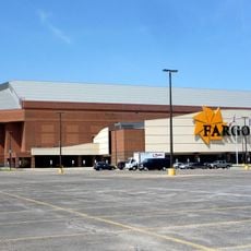
Fargodome
23.7 km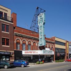
Fargo Theatre
22.8 km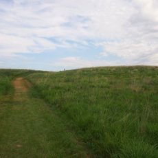
Buffalo River State Park
4.5 km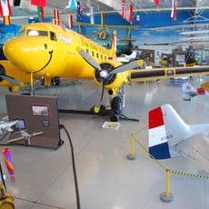
Fargo Air Museum
23.9 km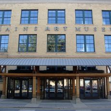
Plains Art Museum
23.1 km
Fargo-Moorhead Toll Bridge
21.7 km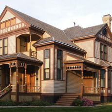
Comstock House
21.4 km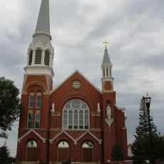
Cathedral of St. Mary
22.8 km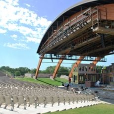
Bluestem Amphitheater
25 km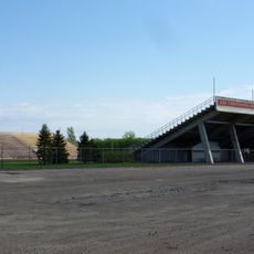
Jake Christiansen Stadium
21.5 km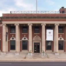
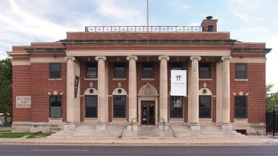
Rourke Art Museum
21.6 km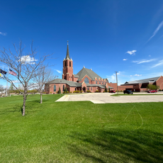
Sts. Anne and Joachim Catholic Church
27.2 km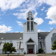
Gethsemane Episcopal Cathedral
26.3 km
North Dakota State University District
23.6 km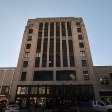
Black Building
22.8 km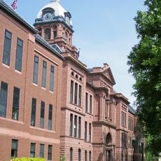
Cass County Court House, Jail, and Sheriff's House
23.3 km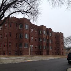
Barrington Apartments
23.6 km
George and Beth Anderson House
22.7 km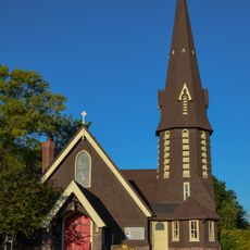
St. John the Divine Episcopal Church
21.3 km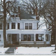
Dibley House
22.7 km
Grand Lodge of North Dakota, Ancient Order of United Workmen
22.9 km
Woodrow Wilson School
23.5 km
James Holes House
22.5 km
Great Northern Freight Warehouse
23 km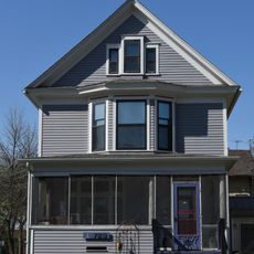
M.E. Beebe Historic District
23.1 km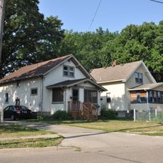
Fargo Oak Grove Residential Historic District
21.8 km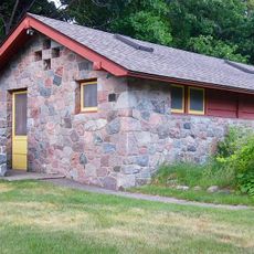
Buffalo River State Park WPA/Rustic Style Historic Resources
4.3 km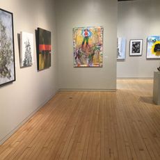
The Rourke Art Gallery + Museum
21.6 kmReviews
Visited this place? Tap the stars to rate it and share your experience / photos with the community! Try now! You can cancel it anytime.
Discover hidden gems everywhere you go!
From secret cafés to breathtaking viewpoints, skip the crowded tourist spots and find places that match your style. Our app makes it easy with voice search, smart filtering, route optimization, and insider tips from travelers worldwide. Download now for the complete mobile experience.

A unique approach to discovering new places❞
— Le Figaro
All the places worth exploring❞
— France Info
A tailor-made excursion in just a few clicks❞
— 20 Minutes