Clay County

Log in to your account

AroundUs is a community-driven map of interesting places, built by curious explorers like you. It grows with every review, story, and photo you share.
Connect to save your favorite spots, contribute locations, and create personalized routes.
Continue with Google
Continue with Apple
Continue with X
Continue with Facebook
Continue with email
By continuing, you accept our Terms and Conditions and our Privacy Policy
Create an account
Add to collection
Map
Suggest a change
Share

Clay County, Administrative county in western Minnesota, United States

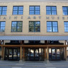
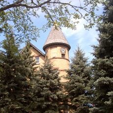
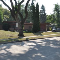
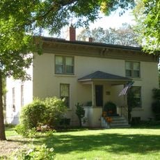
Clay County is an administrative county in western Minnesota bordering North Dakota. The area includes farmland, small towns, and the county seat of Moorhead with government offices and public services.

The county was originally established in 1860 as Breckinridge County and renamed in 1862 to honor American statesman Henry Clay. The arrival of the Northern Pacific Railway in 1872 accelerated settlement and transformed the region.

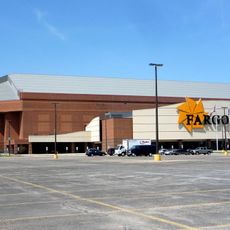
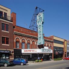
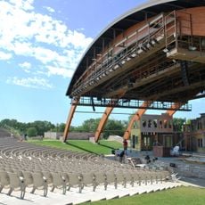
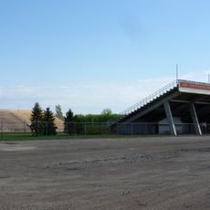
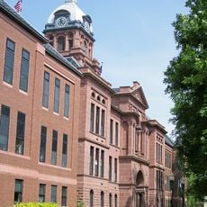
The county seat serves as a gathering place where residents connect through community events and public forums held throughout the year. These occasions bring people together to discuss local issues and maintain social bonds across the region.

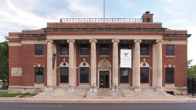
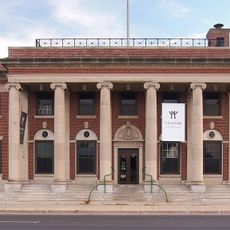
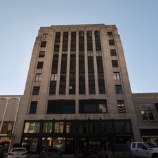
The county provides various services for residents and visitors including property management, tax payments, and vehicle registration. Most offices and services are located in Moorhead and open to the public.

The location on the border between Minnesota and North Dakota makes this county a significant crossing point between two states. This position has shaped both the economy and cultural development of the area in distinctive ways.

Location: Minnesota

Inception: March 8, 1862

Capital city: Moorhead

Shares border with: Norman County, Wilkin County, Becker County, Otter Tail County, Richland County, Cass County

Website: http://co.clay.mn.us

GPS coordinates: 46.90000,-96.49000

Latest update: December 7, 2025 19:22

Photos
Around this place
Fargodome
United States of America

Fargodome

23.7 km
Fargo Theatre
United States of America

Fargo Theatre

22.8 km
Buffalo River State Park
United States of America

Buffalo River State Park

4.5 km
Fargo Air Museum
United States of America

Fargo Air Museum

23.9 km
Plains Art Museum
United States of America

Plains Art Museum

23.1 km
Fargo-Moorhead Toll Bridge
United States of America

Fargo-Moorhead Toll Bridge

21.7 km
Comstock House
United States of America

Comstock House

21.4 km
Cathedral of St. Mary
United States of America

Cathedral of St. Mary

22.8 km
Bluestem Amphitheater
United States of America

Bluestem Amphitheater

25 km
Jake Christiansen Stadium
United States of America

Jake Christiansen Stadium

21.5 km
Rourke Art Museum
United States of America

Rourke Art Museum

21.6 km
United States of America

Sts. Anne and Joachim Catholic Church

27.2 km
Gethsemane Episcopal Cathedral
United States of America

Gethsemane Episcopal Cathedral

26.3 km
North Dakota State University District
United States of America

North Dakota State University District

23.6 km
Black Building
United States of America

Black Building

22.8 km
Cass County Court House, Jail, and Sheriff's House
United States of America

Cass County Court House, Jail, and Sheriff's House

23.3 km
Barrington Apartments
United States of America

Barrington Apartments

23.6 km
George and Beth Anderson House
United States of America

George and Beth Anderson House

22.7 km
St. John the Divine Episcopal Church
United States of America

St. John the Divine Episcopal Church

21.3 km
Dibley House
United States of America

Dibley House

22.7 km
Grand Lodge of North Dakota, Ancient Order of United Workmen
United States of America

Grand Lodge of North Dakota, Ancient Order of United Workmen

22.9 km
United States of America

Woodrow Wilson School

23.5 km
James Holes House
United States of America

James Holes House

22.5 km
Great Northern Freight Warehouse
United States of America

Great Northern Freight Warehouse

23 km
M.E. Beebe Historic District
United States of America

M.E. Beebe Historic District

23.1 km
Fargo Oak Grove Residential Historic District
United States of America

Fargo Oak Grove Residential Historic District

21.8 km
Buffalo River State Park WPA/Rustic Style Historic Resources
United States of America

Buffalo River State Park WPA/Rustic Style Historic Resources

4.3 km
The Rourke Art Gallery + Museum
United States of America

The Rourke Art Gallery + Museum

21.6 km
Show the full map
Reviews

Visited this place? Tap the stars to rate it and share your experience / photos with the community! Try now! You can cancel it anytime.

« Clay County - Administrative county in western Minnesota, United States » is provided by Around Us (aroundus.com). Images and texts are derived from Wikimedia project under a Creative Commons license. You are allowed to copy, distribute, and modify copies of this page, under the conditions set by the license, as long as this note is clearly visible.

Discover hidden gems everywhere you go!

From secret cafés to breathtaking viewpoints, skip the crowded tourist spots and find places that match your style. Our app makes it easy with voice search, smart filtering, route optimization, and insider tips from travelers worldwide. Download now for the complete mobile experience.

Around Us App Screenshot

A unique approach to discovering new places

Le Figaro

All the places worth exploring

France Info

A tailor-made excursion in just a few clicks

20 Minutes