Enable Location

We need your location to show you interesting places around you

Discover nearby places

Find interesting locations and hidden gems around you

Precise directions

Get accurate directions and distances to places

Your location is never shared with other users. It's only used when you tap the location button.

Clinton County

Log in to your account

Start exploring — it's free

Trusted by 61,855 travelers worldwide

Continue with Google
Continue with Apple
or

We will send you a code to connect

By continuing, you accept our Terms and Conditions and our Privacy Policy

Check your inbox

We've sent a pincode in your inbox. Please enter the code below.

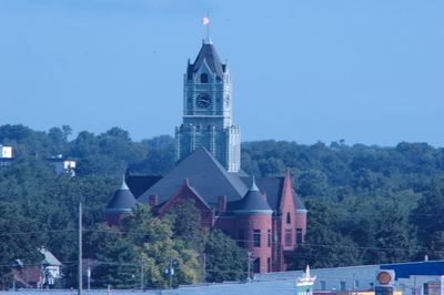
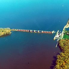
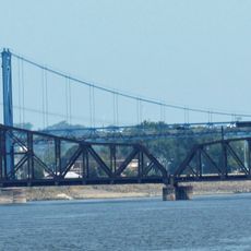
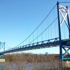
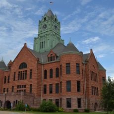
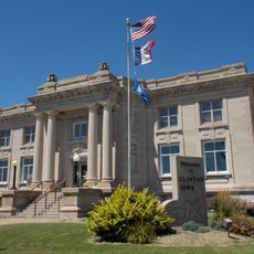
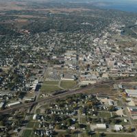
Clinton County, County in eastern Iowa, United States

Description

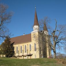
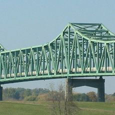
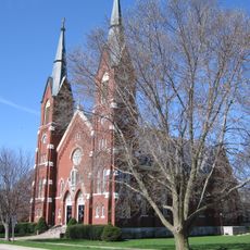
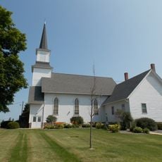
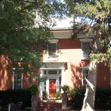
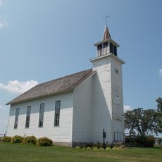
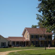
Clinton County is an administrative area in eastern Iowa containing multiple towns and communities. It spreads across farmland and residential areas, with the Mississippi River forming its eastern border.

History

The county was established in 1837 during Iowa's territorial expansion and named after New York governor DeWitt Clinton. This founding was part of westward settlement and shaped economic development for generations.

Culture

The communities here keep farming traditions alive through local festivals, county fairs, and exhibitions that happen throughout the year. These gatherings show how central agriculture is to everyday life and how people connect with one another.

Practical

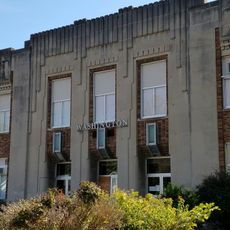
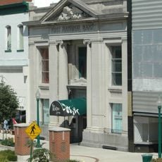
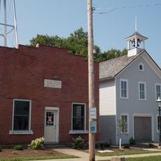
The county administration provides residents with access to public services including property tax collection, vehicle registration, and civil record services. The main communities are easy to find, and the area has clear centers with urban and rural zones.

Did you know?

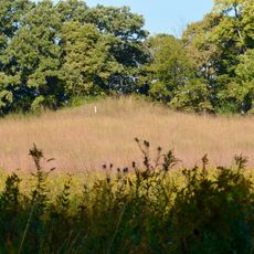
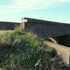
The area runs specialized farming methods for corn and soybeans adapted to the Mississippi valley soil. These local techniques reflect decades of practical knowledge about working this land.

Location
Inception
1837
Capital city
Clinton
Shares border with
Jackson County, Scott County, Rock Island County, Jones County, Cedar County, Whiteside County, Carroll County
GPS coordinates
41.89278,-90.52750
Latest update
December 7, 2025 20:23

AroundUs brings together thousands of curated places, local tips, and hidden gems, enriched daily by 60,000 contributors worldwide. Discover all places nearby (Iowa).

Around this place
Lock and Dam No. 13
United States of America

Lock and Dam No. 13

30.8 km
Clinton Railroad Bridge
United States of America

Clinton Railroad Bridge

29.1 km
Gateway Bridge
United States of America

Gateway Bridge

29.1 km
St. Irenaeus Catholic Church
United States of America

St. Irenaeus Catholic Church

29 km
Albany Mounds State Historic Site
United States of America

Albany Mounds State Historic Site

27.6 km
Mark N. Norris Bridge
United States of America

Mark N. Norris Bridge

29.5 km
St. Boniface Church
United States of America

St. Boniface Church

28.8 km
Clinton County Courthouse
United States of America

Clinton County Courthouse

28.5 km
Our Savior’s Kvindherred Lutheran Church
United States of America

Our Savior’s Kvindherred Lutheran Church

18.9 km
Clinton Public Library
United States of America

Clinton Public Library

28.5 km
Delmar Calaboose
United States of America

Delmar Calaboose

13.6 km
Cherry Bank
United States of America

Cherry Bank

26.6 km
George M. Curtis House
United States of America

George M. Curtis House

28.2 km
Clinton Area Showboat Theatre
United States of America

Clinton Area Showboat Theatre

29 km
Bickelhaupt Arboretum
United States of America

Bickelhaupt Arboretum

26.2 km
De Immigrant
United States of America

De Immigrant

29.9 km
Horace Anthony House
United States of America

Horace Anthony House

25.5 km
Sharon Methodist Episcopal Church
United States of America

Sharon Methodist Episcopal Church

29.4 km
Washington Junior High School and Jefferson Grade School
United States of America

Washington Junior High School and Jefferson Grade School

28.6 km
First National Bank
United States of America

First National Bank

28.6 km
Lafayette Lamb House
United States of America

Lafayette Lamb House

31.7 km
Farmers and Merchants Savings Bank
United States of America

Farmers and Merchants Savings Bank

12.5 km
Wilson Building
United States of America

Wilson Building

28.6 km
Moeszinger-Marquis Hardware Co.
United States of America

Moeszinger-Marquis Hardware Co.

28.7 km
Castle Terrace Historic District
United States of America

Castle Terrace Historic District

26.4 km
Peter Dierks House
United States of America

Peter Dierks House

21.1 km
Ames Creek Bridge
United States of America

Ames Creek Bridge

4.9 km
Grand Mound Town Hall and Waterworks Historic District
United States of America

Grand Mound Town Hall and Waterworks Historic District

12.6 km
Show the full map
Administrative divisions
« Clinton County - County in eastern Iowa, United States » is provided by Around Us (aroundus.com). Images and texts are derived from Wikimedia project under a Creative Commons license. You are allowed to copy, distribute, and modify copies of this page, under the conditions set by the license, as long as this note is clearly visible.

Discover hidden gems everywhere you go!

From secret cafés to breathtaking viewpoints, skip the crowded tourist spots and find places that match your style. Our app makes it easy with voice search, smart filtering, route optimization, and insider tips from travelers worldwide. Download now for the complete mobile experience.

Around Us App Screenshot

A unique approach to discovering new places

Le Figaro

All the places worth exploring

France Info

A tailor-made excursion in just a few clicks

20 Minutes

Around Us
Travel Guide & Maps
Download

Send to your phone

QR Code
1

Open the camera app on your mobile.

2

Point at the QR code with your camera. A notification will appear.

3

Tap the notification to open the link.