Enable Location

We need your location to show you interesting places around you

Discover nearby places

Find interesting locations and hidden gems around you

Precise directions

Get accurate directions and distances to places

Your location is never shared with other users. It's only used when you tap the location button.

Warren County

Log in to your account

Start exploring — it's free

Trusted by 61,992 travelers worldwide

Continue with Google
Continue with Apple
or

We will send you a code to connect

By continuing, you accept our Terms and Conditions and our Privacy Policy

Check your inbox

We've sent a pincode in your inbox. Please enter the code below.

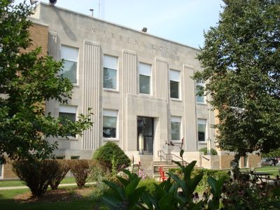
Warren County, County administration center in central Iowa, United States.

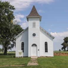
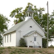
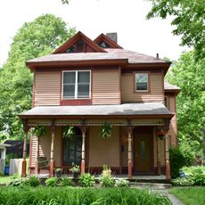
Warren County is an administrative county in central Iowa with Indianola as its county seat. The region encompasses several communities where residents live in a mix of town and rural settings.

The county was established in 1846 and named after General Joseph Warren, a soldier from the American Revolutionary War. Its creation reflected the westward expansion and settlement patterns of that era.

The fair held annually in this county brings together farmers, crafters, and community members to showcase their work and local food traditions. It reflects the area's continued connection to agricultural life and rural values.

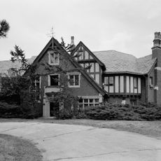
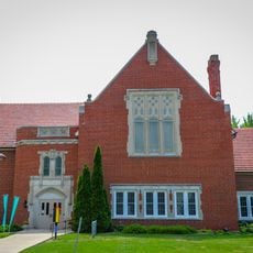
Visitors can access county government offices, health services, and public safety facilities throughout the region. Most administrative services are centered in Indianola, making it the natural starting point for any visit.

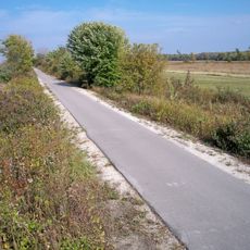
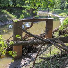
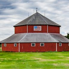
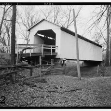
The county maintains a network of parks and outdoor spaces woven throughout working farmland and rural towns. This blend of recreation and active agriculture gives the place its distinctive character.

The community of curious travelers

AroundUs brings together thousands of curated places, local tips, and hidden gems, enriched daily by 60,000 contributors worldwide.

Start exploring
Location
Inception
1846
Capital city
Indianola
Shares border with
Polk County, Clarke County, Lucas County, Dallas County, Madison County, Marion County
GPS coordinates
41.33000,-93.56000
Latest update
December 7, 2025 19:23
Around this place
Blank Park Zoo
United States of America

Blank Park Zoo

21.7 km
Fort Des Moines Provisional Army Officer Training School
United States of America

Fort Des Moines Provisional Army Officer Training School

22.4 km
Abraham Lincoln High School
United States of America

Abraham Lincoln High School

26.4 km
Lake Ahquabi State Park
United States of America

Lake Ahquabi State Park

5.2 km
Imes Bridge
United States of America

Imes Bridge

20.7 km
Gray's Lake Park
United States of America

Gray's Lake Park

27.9 km
Great Western Trail
United States of America

Great Western Trail

16.3 km
Warren County Courthouse
United States of America

Warren County Courthouse

3.5 km
St. Patrick's Church
United States of America

St. Patrick's Church

22.2 km
St. Joseph's Catholic Church
United States of America

St. Joseph's Catholic Church

25.4 km
Summerset Trail
United States of America

Summerset Trail

3.8 km
Ralph Rollins House
United States of America

Ralph Rollins House

26.6 km
Warren County Administration Building
United States of America

Warren County Administration Building

3.7 km
Palmyra Methodist Episcopal Church
United States of America

Palmyra Methodist Episcopal Church

15.6 km
Wallace Hall
United States of America

Wallace Hall

5.6 km
Coal Creek Bridge
United States of America

Coal Creek Bridge

21 km
Hoosier Row School
United States of America

Hoosier Row School

5.6 km
Indianola Carnegie Library
United States of America

Indianola Carnegie Library

3.6 km
Mary A. and Caleb D. Scott House
United States of America

Mary A. and Caleb D. Scott House

26.6 km
Mahaska County Courthouse
United States of America

Mahaska County Courthouse

8 km
Octagon Barn, Otter Township
United States of America

Octagon Barn, Otter Township

11.9 km
Smith Memorial Chapel
United States of America

Smith Memorial Chapel

3.8 km
Hillman Hall
United States of America

Hillman Hall

3.8 km
Carver Science Center
United States of America

Carver Science Center

3.8 km
First United Methodist Church (Indianola, Iowa)
United States of America

First United Methodist Church (Indianola, Iowa)

3.5 km
Carlisle Covered Bridge
United States of America

Carlisle Covered Bridge

21.7 km
College Hall
United States of America

College Hall

3.9 km
Southeast Fourteenth Street Bridge
United States of America

Southeast Fourteenth Street Bridge

27.5 km
Show the full map
Administrative divisions
« Warren County - County administration center in central Iowa, United States » is provided by Around Us (aroundus.com). Images and texts are derived from Wikimedia project under a Creative Commons license. You are allowed to copy, distribute, and modify copies of this page, under the conditions set by the license, as long as this note is clearly visible.

Discover hidden gems everywhere you go!

From secret cafés to breathtaking viewpoints, skip the crowded tourist spots and find places that match your style. Our app makes it easy with voice search, smart filtering, route optimization, and insider tips from travelers worldwide. Download now for the complete mobile experience.

Around Us App Screenshot

A unique approach to discovering new places

Le Figaro

All the places worth exploring

France Info

A tailor-made excursion in just a few clicks

20 Minutes

Around Us
Travel Guide & Maps
Download

Send to your phone

QR Code
1

Open the camera app on your mobile.

2

Point at the QR code with your camera. A notification will appear.

3

Tap the notification to open the link.