Enable Location

We need your location to show you interesting places around you

Discover nearby places

Find interesting locations and hidden gems around you

Precise directions

Get accurate directions and distances to places

Your location is never shared with other users. It's only used when you tap the location button.

Otsego County

Log in to your account

Start exploring — it's free

Trusted by 61,488 travelers worldwide

Continue with Google
Continue with Apple
or

We will send you a code to connect

By continuing, you accept our Terms and Conditions and our Privacy Policy

Check your inbox

We've sent a pincode in your inbox. Please enter the code below.

Otsego County, County in Central New York, United States.

Description

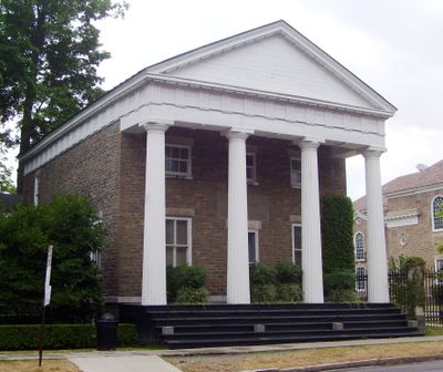
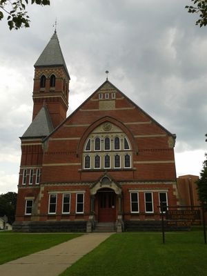
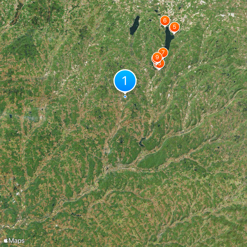
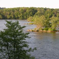
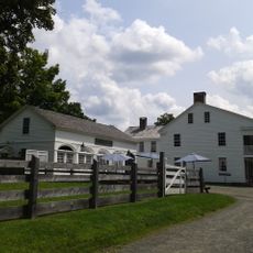
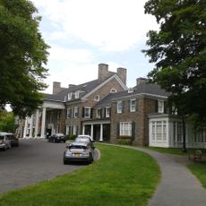
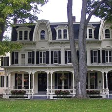
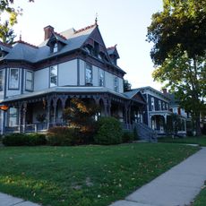
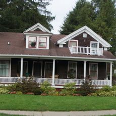
Otsego County is an administrative division in central New York that spans hilly terrain with farms and woodland. The area includes several communities, with Cooperstown being the largest, and offers a mix of rural and developed areas.

History

The county separated from Montgomery County in 1791 and was initially organized into three main townships. This early structure laid the groundwork for the region to develop as an agricultural and trade center.

Culture

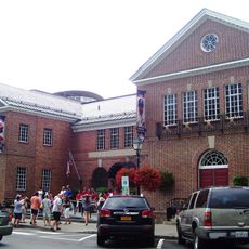
The Baseball Hall of Fame in Cooperstown and Glimmerglass Opera are cultural institutions that draw visitors year-round. These places shape the region's cultural life and make Cooperstown a destination for art lovers and sports fans.

Practical

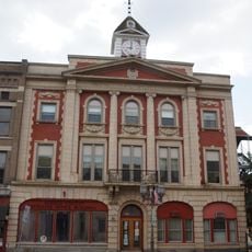
Visitors should know that Cooperstown is the administrative center where to find information and services. The region is best explored by car since it spreads across roads and rural routes.

Did you know?

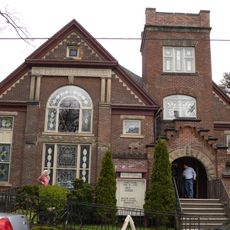
Bassett Medical Center is the largest employer and makes healthcare the primary economic driver in this largely rural region. This medical facility has shaped the local economy and creates jobs across many professions.

Location
Inception
February 16, 1791
Capital city
Cooperstown
Shares border with
Herkimer County, Montgomery County, Schoharie County, Delaware County, Chenango County, Oneida County, Madison County
GPS coordinates
42.63000,-75.04000
Latest update
December 14, 2025 19:35

AroundUs brings together thousands of curated places, local tips, and hidden gems, enriched daily by 60,000 contributors worldwide. Discover all places nearby (New York).

Around this place
National Baseball Hall of Fame and Museum
United States of America

National Baseball Hall of Fame and Museum

12.3 km
Susquehanna River
United States of America

Susquehanna River

12.6 km
Hyde Hall
United States of America

Hyde Hall

22.9 km
Glimmerglass State Park
United States of America

Glimmerglass State Park

23.1 km
United States of America

Glimmerglass Festival

23.1 km
Kingfisher Tower
United States of America

Kingfisher Tower

15.4 km
Farmers' Museum
United States of America

Farmers' Museum

12.9 km
Fenimore Art Museum
United States of America

Fenimore Art Museum

13.3 km
United States of America

Gilbert Lake State Park

9 km
The Tepee
United States of America

The Tepee

35.2 km
United States of America

Betty and Wilbur Davis State Park

17.4 km
Cooperstown Historic District
United States of America

Cooperstown Historic District

12.3 km
Hyde Hall Bridge
United States of America

Hyde Hall Bridge

22.9 km
United States of America

Hunt's Pond State Park

27.5 km
United States of America

Robert V. Riddell State Park

18.8 km
Fairchild Mansion
United States of America

Fairchild Mansion

19.5 km
Bresee Hall
United States of America

Bresee Hall

19.3 km
Oneonta Theatre
United States of America

Oneonta Theatre

19.8 km
United States of America

The White House

6.5 km
Hanford Mill
United States of America

Hanford Mill

26.3 km
Major's Inn and Gilbert Block
United States of America

Major's Inn and Gilbert Block

29.5 km
Oneonta Downtown Historic District
United States of America

Oneonta Downtown Historic District

19.7 km
United States of America

Stonehouse Farm

18 km
United States of America

White Store Church and Evergreen Cemetery

34.2 km
Pioneer Cemetery
United States of America

Pioneer Cemetery

45.4 km
Walnut Street Historic District
United States of America

Walnut Street Historic District

19.3 km
Chapin Memorial Church
United States of America

Chapin Memorial Church

10 km
Municipal Building
United States of America

Municipal Building

19.6 km
Show the full map
« Otsego County - County in Central New York, United States » is provided by Around Us (aroundus.com). Images and texts are derived from Wikimedia project under a Creative Commons license. You are allowed to copy, distribute, and modify copies of this page, under the conditions set by the license, as long as this note is clearly visible.

Discover hidden gems everywhere you go!

From secret cafés to breathtaking viewpoints, skip the crowded tourist spots and find places that match your style. Our app makes it easy with voice search, smart filtering, route optimization, and insider tips from travelers worldwide. Download now for the complete mobile experience.

Around Us App Screenshot

A unique approach to discovering new places

Le Figaro

All the places worth exploring

France Info

A tailor-made excursion in just a few clicks

20 Minutes

Around Us
Travel Guide & Maps
Download

Send to your phone

QR Code
1

Open the camera app on your mobile.

2

Point at the QR code with your camera. A notification will appear.

3

Tap the notification to open the link.