
Cattaraugus County, County in Western New York, United States
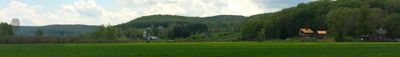
Cattaraugus County extends across 1,322 square miles of land, featuring rolling farmlands, dense forests, and numerous waterways crossed by the Allegheny River.
The territory underwent multiple transformations since its inclusion in Albany County in 1683, before officially becoming Cattaraugus County on March 28, 1817.
The name originates from Seneca language describing natural gas emissions from local rock formations, reflecting the Native American heritage of this region.
Interstate 86 and U.S. Route 62 connect the county's communities, while two airports serve air transportation needs for residents and visitors.
The county contains two distinct Rock City formations, natural stone arrangements that create pathway patterns similar to street layouts.
Location: New York
Inception: March 28, 1817
Capital city: Little Valley
Part of: Southern Tier
Shares border with: Erie County, McKean County, Warren County, Allegany County, Chautauqua County, Wyoming County
Website: http://co.cattaraugus.ny.us
GPS coordinates: 42.23032,-78.63821
Latest update: May 26, 2025 21:41
Allegany State Park
14.5 km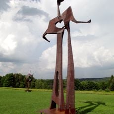
Griffis Sculpture Park
16.2 km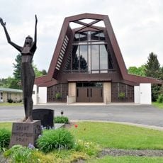
St. Philomena's Roman Catholic Church
19.9 km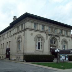
Olean Public Library
24.2 km
Temple B'Nai Israel
24.4 km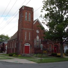
Springville Center for the Arts
31.2 km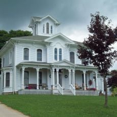
Gladden Windmill
21.2 km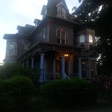
Conklin Mountain House
24.4 km
Nannen Arboretum
6.4 km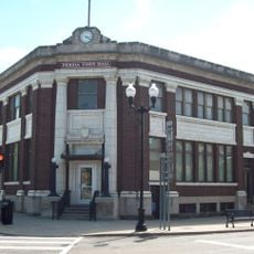
Bank of Gowanda
35.6 km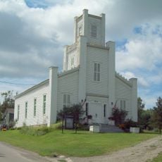
Leon United Methodist Church
32 km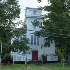
First Congregational Church of Otto
20.9 km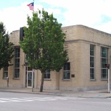
Citizens National Bank
31.1 km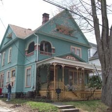
Beardsley-Oliver House
24.3 km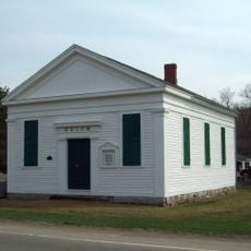
Salem Welsh Church
36.7 km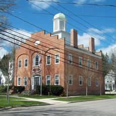
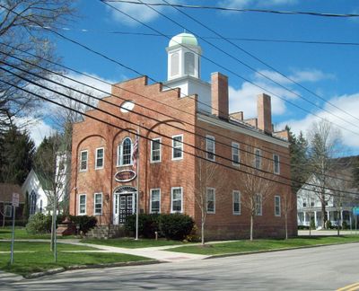
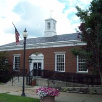
Ellicottville Town Hall
5.8 km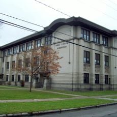
Olean School No. 10
24.1 km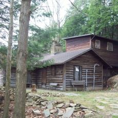
Pfeiffer-Wheeler American Chestnut Cabin
29.7 km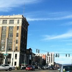
Union and State Streets Historic District
24 km
Randolph Historic District
28 km
Cattaraugus Village Commercial Historic District
21.9 km
Bedford Corners Historic District
33.4 km
William E. Wheeler House
32.5 km
Gowanda Village Historic District
35.7 km
East Otto Union School
20.3 km
Rider-Hopkins Farm and Olmsted Camp
35.1 km
East Hill Historic District
31 km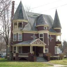
Simeon B. Robbins House
19.2 kmReviews
Visited this place? Tap the stars to rate it and share your experience / photos with the community! Try now! You can cancel it anytime.
Discover hidden gems everywhere you go!
From secret cafés to breathtaking viewpoints, skip the crowded tourist spots and find places that match your style. Our app makes it easy with voice search, smart filtering, route optimization, and insider tips from travelers worldwide. Download now for the complete mobile experience.

A unique approach to discovering new places❞
— Le Figaro
All the places worth exploring❞
— France Info
A tailor-made excursion in just a few clicks❞
— 20 Minutes