Cattaraugus County

Log in to your account

AroundUs is a community-driven map of interesting places, built by curious explorers like you. It grows with every review, story, and photo you share.
Connect to save your favorite spots, contribute locations, and create personalized routes.
Continue with Google
Continue with Apple
Continue with X
Continue with Facebook
Continue with email
By continuing, you accept our Terms and Conditions and our Privacy Policy
Create an account
Add to collection
Map
Suggest a change
Share

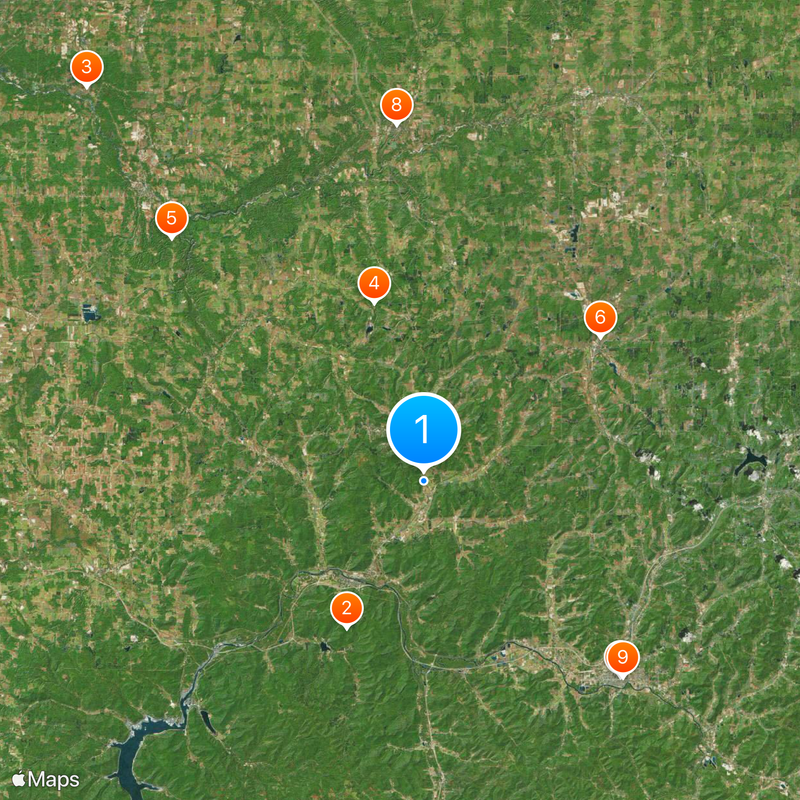
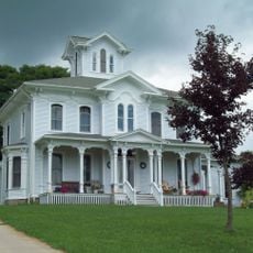
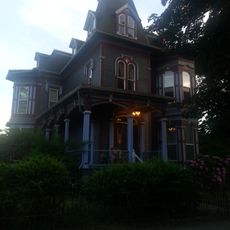
Cattaraugus County, County in Western New York, United States

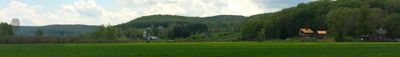
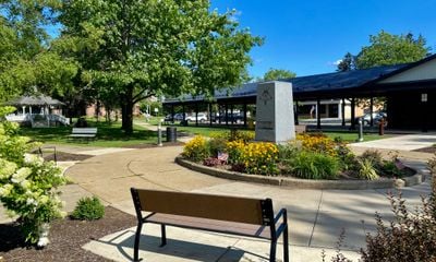
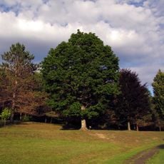
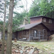
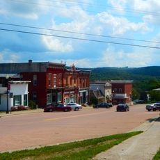
Cattaraugus County spreads across hilly terrain with farmland and forests, crossed by numerous waterways and the Allegheny River. The area combines open farm fields with dense woodlands and offers a mixed landscape.

The territory was assigned to Albany County in 1683 and received its current form as an independent county on March 28, 1817. This change marked a significant administrative reorganization in Western New York.

The name comes from the Seneca language and refers to natural gas emissions from local rock formations, reflecting the Native American heritage of this region. This naming shows how deeply the land is connected to the traditions of the Haudenosaunee Confederacy.

Interstate 86 and U.S. Route 62 connect the communities throughout the county. The region is well served by local roads and two airports provide air transportation options for visitors.

The area contains two distinct Rock City formations with natural stone arrangements that create patterns similar to street layouts. These rock clusters formed through geological processes and create unexpected maze-like structures in the landscape.

Location: New York

Inception: March 28, 1817

Capital city: Little Valley

Part of: Southern Tier

Shares border with: Erie County, McKean County, Warren County, Allegany County, Chautauqua County, Wyoming County

Website: http://co.cattaraugus.ny.us

GPS coordinates: 42.23032,-78.63821

Latest update: December 17, 2025 07:48

Photos
Around this place
Allegany State Park
United States of America

Allegany State Park

14.5 km
Thomas Indian School
United States of America

Thomas Indian School

45.3 km
Griffis Sculpture Park
United States of America

Griffis Sculpture Park

16.2 km
United States of America

Deer Lick Nature Sanctuary

30.6 km
St. Philomena's Roman Catholic Church
United States of America

St. Philomena's Roman Catholic Church

19.9 km
Olean Public Library
United States of America

Olean Public Library

24.2 km
Springville Center for the Arts
United States of America

Springville Center for the Arts

31.2 km
Temple B'Nai Israel
United States of America

Temple B'Nai Israel

24.4 km
Gladden Windmill
United States of America

Gladden Windmill

21.2 km
Conklin Mountain House
United States of America

Conklin Mountain House

24.4 km
Nannen Arboretum
United States of America

Nannen Arboretum

6.4 km
Bank of Gowanda
United States of America

Bank of Gowanda

35.6 km
Leon United Methodist Church
United States of America

Leon United Methodist Church

32 km
First Congregational Church of Otto
United States of America

First Congregational Church of Otto

20.9 km
Citizens National Bank
United States of America

Citizens National Bank

31.1 km
Beardsley-Oliver House
United States of America

Beardsley-Oliver House

24.3 km
United States of America

Cattaraugus County Center for the Performing Arts

10.5 km
Salem Welsh Church
United States of America

Salem Welsh Church

36.7 km
Bryant Hill Cemetery
United States of America

Bryant Hill Cemetery

8.9 km
Ellicottville Town Hall
United States of America

Ellicottville Town Hall

5.8 km
Olean School No. 10
United States of America

Olean School No. 10

24.1 km
Pfeiffer-Wheeler American Chestnut Cabin
United States of America

Pfeiffer-Wheeler American Chestnut Cabin

29.7 km
United States of America

Lime Lake

25.5 km
Union and State Streets Historic District
United States of America

Union and State Streets Historic District

24 km
Randolph Historic District
United States of America

Randolph Historic District

28 km
Springville
United States of America

Springville

31.2 km
Cattaraugus Village Commercial Historic District
United States of America

Cattaraugus Village Commercial Historic District

21.9 km
Bedford Corners Historic District
United States of America

Bedford Corners Historic District

33.4 km
Show the full map
Reviews

Visited this place? Tap the stars to rate it and share your experience / photos with the community! Try now! You can cancel it anytime.

Administrative divisions
« Cattaraugus County - County in Western New York, United States » is provided by Around Us (aroundus.com). Images and texts are derived from Wikimedia project under a Creative Commons license. You are allowed to copy, distribute, and modify copies of this page, under the conditions set by the license, as long as this note is clearly visible.

Discover hidden gems everywhere you go!

From secret cafés to breathtaking viewpoints, skip the crowded tourist spots and find places that match your style. Our app makes it easy with voice search, smart filtering, route optimization, and insider tips from travelers worldwide. Download now for the complete mobile experience.

Around Us App Screenshot

A unique approach to discovering new places

Le Figaro

All the places worth exploring

France Info

A tailor-made excursion in just a few clicks

20 Minutes