Crawford County

Log in to your account

AroundUs is a community-driven map of interesting places, built by curious explorers like you. It grows with every review, story, and photo you share.
Connect to save your favorite spots, contribute locations, and create personalized routes.
By continuing, you accept our Terms and Conditions and our Privacy Policy
Add to collection
Map
Suggest a change
Share

Crawford County, County in northwestern Arkansas, United States

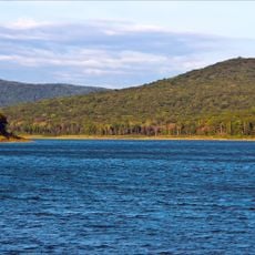
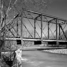
Crawford County is an administrative division in northwestern Arkansas that spans a region with the Ozark Mountains dominating the northern portion. The Arkansas River forms its southern boundary and serves as a natural dividing line for the area.

The county was created in 1820 and named after William Crawford, a United States Secretary of War at that time. This founding established the area as an officially recognized administrative unit within the developing state of Arkansas.

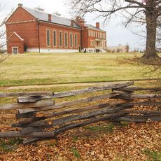
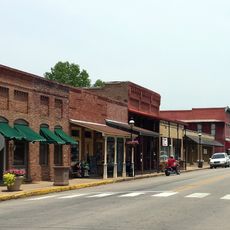
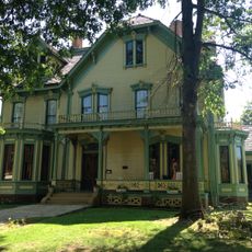
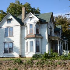
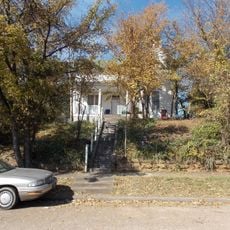
The region is shaped by communities scattered across forested valleys and farmland, each contributing to the local identity that has developed over time. People here maintain strong connections to the land and outdoor traditions.

Visitors can best explore this area by car, as attractions are spread across local roads and highways throughout the county. The routes are straightforward to navigate, with rest stops and facilities found along major roads.

The area maintains dry county status, meaning alcohol sales are generally prohibited throughout most of its jurisdiction. This long-standing rule continues to shape local commerce and how people spend their leisure time.

Location: Arkansas

Inception: October 18, 1820

Capital city: Van Buren

Shares border with: Washington County, Sebastian County, Madison County, Franklin County, Sequoyah County, Adair County

Website: http://crawford-county.org

GPS coordinates: 35.56667,-94.25000

Latest update: December 7, 2025 19:24

Around this place
Show the full map
Fort Smith National Historic Site
United States of America

Fort Smith National Historic Site

25.7 km
Lake Fort Smith State Park
United States of America

Lake Fort Smith State Park

19 km
Fort Smith Trolley Museum
United States of America

Fort Smith Trolley Museum

26 km
Fort Smith National Cemetery
United States of America

Fort Smith National Cemetery

26.1 km
King Opera House
United States of America

King Opera House

16.7 km
St. Louis–San Francisco 4003
United States of America

St. Louis–San Francisco 4003

25.9 km
Fort Smith Masonic Temple
United States of America

Fort Smith Masonic Temple

25.3 km
Fort Smith Museum of History
United States of America

Fort Smith Museum of History

25.7 km
Van Buren Historic District
United States of America

Van Buren Historic District

17.5 km
Birney Safety Streetcar No. 224
United States of America

Birney Safety Streetcar No. 224

25.9 km
W.H.H. Clayton House
United States of America

W.H.H. Clayton House

24.9 km
Van Buren Confederate Monument
United States of America

Van Buren Confederate Monument

17.6 km
Judge Isaac C. Parker Federal Building
United States of America

Judge Isaac C. Parker Federal Building

25.7 km
Sebastian County Courthouse/Ft. Smith City Hall
United States of America

Sebastian County Courthouse/Ft. Smith City Hall

25.7 km
Mount Olive United Methodist Church
United States of America

Mount Olive United Methodist Church

17.3 km
Maumelle Ordnance Works Locomotive 1
United States of America

Maumelle Ordnance Works Locomotive 1

26 km
Bryan House
United States of America

Bryan House

17.1 km
Bob Burns House
United States of America

Bob Burns House

17.2 km
Lee Creek Bridge
United States of America

Lee Creek Bridge

15.7 km
Drennen-Scott House
United States of America

Drennen-Scott House

17.4 km
Vietnamese Baptist Church
United States of America

Vietnamese Baptist Church

24.5 km
New Theatre
United States of America

New Theatre

25.5 km
Ft. Smith Confederate Monument
United States of America

Ft. Smith Confederate Monument

25.7 km
Our Lady of the Ozarks Shrine
United States of America

Our Lady of the Ozarks Shrine

24.8 km
Belle Grove Historic District
United States of America

Belle Grove Historic District

25 km
Lee Creek Bridge
United States of America

Lee Creek Bridge

16.9 km
Fishback Neighborhood Historic District
United States of America

Fishback Neighborhood Historic District

25.5 km
Frog Bayou Bridge
United States of America

Frog Bayou Bridge

8.2 km
Show the full map

Reviews

Visited this place? Tap the stars to rate it and share your experience / photos with the community! Try now! You can cancel it anytime.

Administrative divisions
« Crawford County - County in northwestern Arkansas, United States » is provided by Around Us (aroundus.com). Images and texts are derived from Wikimedia project under a Creative Commons license. You are allowed to copy, distribute, and modify copies of this page, under the conditions set by the license, as long as this note is clearly visible.

Discover hidden gems everywhere you go!

From secret cafés to breathtaking viewpoints, skip the crowded tourist spots and find places that match your style. Our app makes it easy with voice search, smart filtering, route optimization, and insider tips from travelers worldwide. Download now for the complete mobile experience.

Around Us App Screenshot

A unique approach to discovering new places

Le Figaro

All the places worth exploring

France Info

A tailor-made excursion in just a few clicks

20 Minutes