Izard County, County seat in north-central Arkansas, United States
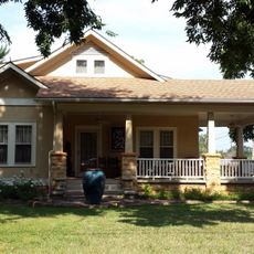
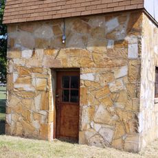
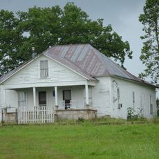
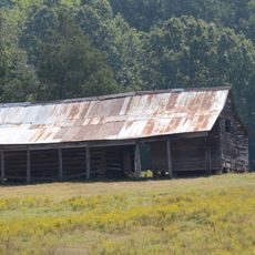
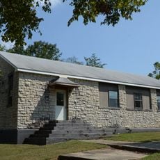
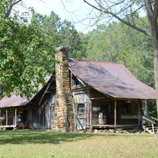
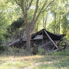
Izard County is an administrative division in north-central Arkansas with Melbourne as its county seat, spreading across rolling terrain with valleys throughout the region. The area contains several small communities and extensive agricultural lands that shape the local landscape.
The county was established on October 27, 1825, as an administrative division during the Arkansas Territory period. This creation was part of the territorial government's effort to organize settlement and governance in the expanding region.
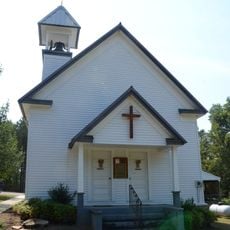
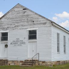
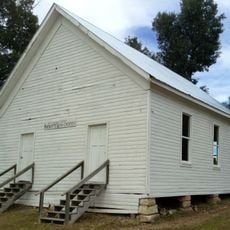
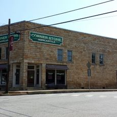
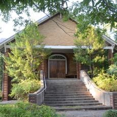
The Mill Creek area, which became Melbourne, developed into a social hub where people gathered at local stores, churches, and community buildings by the early 1900s. These gathering places remain central to how residents connect and share community life today.
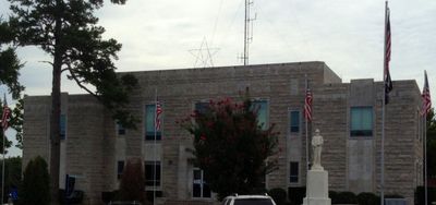
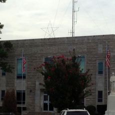
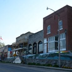
Visitors can stop by the county administration building in Melbourne to learn about local government operations and public records. The area is accessible by car, with basic facilities available in the main town and smaller communities spread throughout.
During World War II, women took charge of Melbourne's local administration while men were serving in the military. This period became known as the Petticoat Regime and remains a notable chapter in how the community kept operations running.
Location: Arkansas
Inception: October 27, 1825
Capital city: Melbourne
Shares border with: Fulton County, Stone County, Sharp County, Independence County, Baxter County
Website: http://izardcountyar.org
GPS coordinates: 36.10000,-91.90000
Latest update: December 7, 2025 20:44
Blanchard Springs Caverns
29.4 km
Sylamore Creek Bridge
27.1 km
Stone County Courthouse
32.4 km
Mount Olive Cumberland Presbyterian Church
20.7 km
Rector Log Barn
3.3 km
Pine Ridge School Building
6 km
Philadelphia Methodist Church
3.2 km
Mirror Lake Historic District
29.2 km
John F. Brewer House
32.5 km
Caney Springs Cumberland Presbyterian Church
8.5 km
Izard County Courthouse
4.6 km
Arnold Springs Farmstead
4 km
Lackey General Merchandise and Warehouse
32.4 km
Boswell School
15.4 km
Jumbo Church of Christ
8.3 km
George W. Lackey House
32.3 km
Calico Rock Methodist Episcopal Church
22 km
Calico Rock Historic District
21.9 km
Zachariah Ford House
27.8 km
Fred Lancaster Barn
22.3 km
Mountain View Waterworks
32.1 km
Sylvester Smith Farmstead
14.5 km
William Dillard Homestead
22.2 km
Calico Rock Home Economics Building
21.1 km
Clark-King House
31.4 km
Pinky Pruitt Barn
29.3 km
Henry Copeland House
31.7 km
Mirror Lake Waterfall
28.7 kmVisited this place? Tap the stars to rate it and share your experience / photos with the community! Try now! You can cancel it anytime.
Discover hidden gems everywhere you go!
From secret cafés to breathtaking viewpoints, skip the crowded tourist spots and find places that match your style. Our app makes it easy with voice search, smart filtering, route optimization, and insider tips from travelers worldwide. Download now for the complete mobile experience.
A unique approach to discovering new places❞
— Le Figaro
All the places worth exploring❞
— France Info
A tailor-made excursion in just a few clicks❞
— 20 Minutes