Scott County

Log in to your account

AroundUs is a community-driven map of interesting places, built by curious explorers like you. It grows with every review, story, and photo you share.
Connect to save your favorite spots, contribute locations, and create personalized routes.
Continue with Google
Continue with Apple
Continue with X
Continue with Facebook
Continue with email
By continuing, you accept our Terms and Conditions and our Privacy Policy
Create an account
Add to collection
Map
Suggest a change
Share

Scott County, Administrative county in western Arkansas, United States.

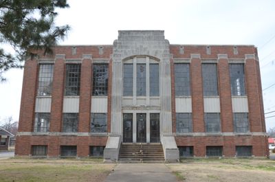
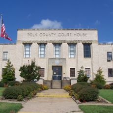
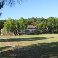
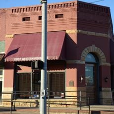
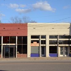
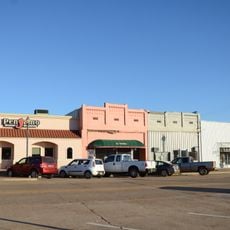
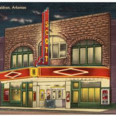
Scott County is an administrative county in western Arkansas covering approximately 900 square miles of land dominated by pine forests and rolling hills. Several small communities dot the landscape, with Waldron serving as the county seat and main population center.

This county was established in 1833 from portions of Crawford and Pope counties and named after Andrew Scott, a judge in the Arkansas Territory. Its creation reflected the administrative reorganization of the expanding frontier region at that time.

Mountain music traditions remain deeply embedded in the life of this region, with local communities gathering regularly for performances and celebrations. These musical practices shape how residents connect with one another and express their heritage today.

The region is accessible year-round as a rural destination with limited urban amenities and services. Visitors should expect basic infrastructure centered around small communities and plan accordingly for a quieter, less developed setting.

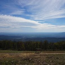
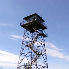
Timber production dominates the land use here, with extensive pine forests shaping both the visual landscape and the local economy. This forest-centered environment gives the region its distinctly rural character and natural feel.

Location: Arkansas

Inception: November 5, 1833

Capital city: Waldron

Shares border with: Logan County, Polk County, LeFlore County, Yell County, Montgomery County, Sebastian County

Website: https://scottcountyar.com/welcome

GPS coordinates: 34.88028,-94.07083

Latest update: December 10, 2025 15:53

Photos
Around this place
Queen Wilhelmina State Park
United States of America

Queen Wilhelmina State Park

34.9 km
Arkansas Tuberculosis Sanatorium Historic District
United States of America

Arkansas Tuberculosis Sanatorium Historic District

28 km
Hartford Water Tower
United States of America

Hartford Water Tower

32.2 km
First Presbyterian Church
United States of America

First Presbyterian Church

20.6 km
C.E. Foster House
United States of America

C.E. Foster House

35.1 km
Jones Memorial Methodist Church
United States of America

Jones Memorial Methodist Church

32.1 km
Farmers and Merchants Bank-Masonic Lodge
United States of America

Farmers and Merchants Bank-Masonic Lodge

32 km
Scott County Courthouse
United States of America

Scott County Courthouse

2.7 km
C.E. Forrester House
United States of America

C.E. Forrester House

2.4 km
Milltown Bridge
United States of America

Milltown Bridge

32.3 km
Polk County Courthouse
United States of America

Polk County Courthouse

36.1 km
Coop Creek Bridge
United States of America

Coop Creek Bridge

24.8 km
Old Scott County Jail
United States of America

Old Scott County Jail

2.8 km
Mount Pleasant Methodist Church
United States of America

Mount Pleasant Methodist Church

6.4 km
Bates School
United States of America

Bates School

28.5 km
Sebastian County Road 4G Bridge
United States of America

Sebastian County Road 4G Bridge

34 km
Elks Lodge
United States of America

Elks Lodge

36.2 km
Parks School
United States of America

Parks School

13.3 km
Bank of Booneville Building
United States of America

Bank of Booneville Building

32 km
Hartford Commercial Historic District
United States of America

Hartford Commercial Historic District

32.5 km
Booneville Commercial Historic District
United States of America

Booneville Commercial Historic District

31.9 km
Poteau Work Center
United States of America

Poteau Work Center

1.6 km
Booneville Methodist Episcopal Church South
United States of America

Booneville Methodist Episcopal Church South

32.3 km
Logan County Courthouse, Southern Judicial District
United States of America

Logan County Courthouse, Southern Judicial District

32.1 km
Jack Creek Bathhouse
United States of America

Jack Creek Bathhouse

26.8 km
Poteau Work Center Residence No. 2
United States of America

Poteau Work Center Residence No. 2

1.6 km
Scott Theatre
United States of America

Scott Theatre

2.8 km
Rich Mountain Lookout Tower
United States of America

Rich Mountain Lookout Tower

32.9 km
Show the full map
Reviews

Visited this place? Tap the stars to rate it and share your experience / photos with the community! Try now! You can cancel it anytime.

« Scott County - Administrative county in western Arkansas, United States » is provided by Around Us (aroundus.com). Images and texts are derived from Wikimedia project under a Creative Commons license. You are allowed to copy, distribute, and modify copies of this page, under the conditions set by the license, as long as this note is clearly visible.

Discover hidden gems everywhere you go!

From secret cafés to breathtaking viewpoints, skip the crowded tourist spots and find places that match your style. Our app makes it easy with voice search, smart filtering, route optimization, and insider tips from travelers worldwide. Download now for the complete mobile experience.

Around Us App Screenshot

A unique approach to discovering new places

Le Figaro

All the places worth exploring

France Info

A tailor-made excursion in just a few clicks

20 Minutes