Stone County

Log in to your account

AroundUs is a community-driven map of interesting places, built by curious explorers like you. It grows with every review, story, and photo you share.
Connect to save your favorite spots, contribute locations, and create personalized routes.
By continuing, you accept our Terms and Conditions and our Privacy Policy
Add to collection
Map
Suggest a change
Share

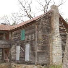
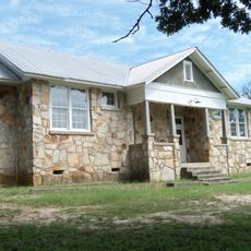
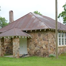
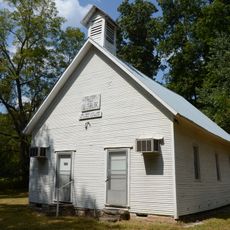
Stone County, County in north-central Arkansas, US

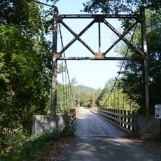
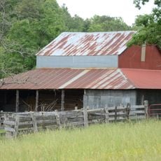
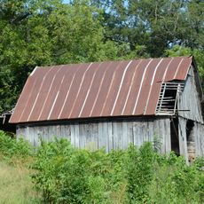
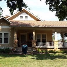
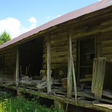
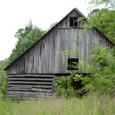
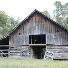
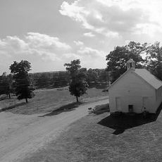
Stone County is an administrative division in north-central Arkansas with mountainous terrain, river valleys, and portions of the Ozark National Forest. The landscape features forested hills and open valley floors, making it suitable for hiking and nature exploration.

The area was established as an official administrative region in 1873 as part of Arkansas's restructuring of government boundaries. This creation coincided with the reorganization of local governance during a period of regional development.

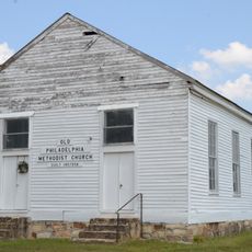
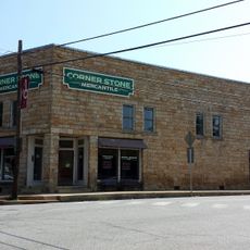
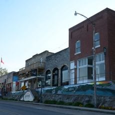
Mountain View, the county seat, keeps bluegrass and folk music alive through regular performances and community gatherings that draw visitors interested in traditional sounds.

Visitors can access a network of hiking trails, fishing spots, and camping grounds scattered throughout the Ozark region. Most of these outdoor activities are easily reached by road and require no special permits.

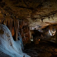
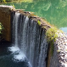
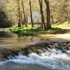
The region is known for its springs and underground caves formed through limestone and shaped by water systems. These geological features create memorable nature encounters that define the deeper Ozark landscape.

Location: Arkansas

Inception: April 17, 1873

Capital city: Mountain View

Shares border with: Izard County, Cleburne County, Independence County, Baxter County, Searcy County, Van Buren County

Website: https://stonecountyar.gov

GPS coordinates: 35.87944,-92.14722

Latest update: December 7, 2025 20:44

Around this place
Show the full map
Blanchard Springs Caverns
United States of America

Blanchard Springs Caverns

9.8 km
Sylamore Creek Bridge
United States of America

Sylamore Creek Bridge

6.7 km
Stone County Courthouse
United States of America

Stone County Courthouse

2.9 km
Mount Olive Cumberland Presbyterian Church
United States of America

Mount Olive Cumberland Presbyterian Church

14.3 km
Rector Log Barn
United States of America

Rector Log Barn

30.5 km
John Avey Barn
United States of America

John Avey Barn

11.1 km
Philadelphia Methodist Church
United States of America

Philadelphia Methodist Church

36.1 km
Mirror Lake Historic District
United States of America

Mirror Lake Historic District

9.3 km
John F. Brewer House
United States of America

John F. Brewer House

2.9 km
Alco School
United States of America

Alco School

20.4 km
Roasting Ear Church and School
United States of America

Roasting Ear Church and School

14.9 km
Izard County Courthouse
United States of America

Izard County Courthouse

29.5 km
Lackey General Merchandise and Warehouse
United States of America

Lackey General Merchandise and Warehouse

2.9 km
Arnold Springs Farmstead
United States of America

Arnold Springs Farmstead

31.1 km
Boswell School
United States of America

Boswell School

19.7 km
John Bettis House
United States of America

John Bettis House

23 km
Jumbo Church of Christ
United States of America

Jumbo Church of Christ

25.2 km
Luber School
United States of America

Luber School

13.4 km
George W. Lackey House
United States of America

George W. Lackey House

2.8 km
Bluff Springs Church and School
United States of America

Bluff Springs Church and School

22.9 km
Calico Rock Methodist Episcopal Church
United States of America

Calico Rock Methodist Episcopal Church

26.9 km
Calico Rock Historic District
United States of America

Calico Rock Historic District

26.6 km
Zachariah Ford House
United States of America

Zachariah Ford House

25.4 km
Jessie Abernathy House
United States of America

Jessie Abernathy House

26 km
Fred Lancaster Barn
United States of America

Fred Lancaster Barn

11.3 km
Orvall Gammill Barn
United States of America

Orvall Gammill Barn

11.9 km
Noricks Chapel School
United States of America

Noricks Chapel School

15.5 km
Mountain View Waterworks
United States of America

Mountain View Waterworks

2.6 km
Show the full map

Reviews

Visited this place? Tap the stars to rate it and share your experience / photos with the community! Try now! You can cancel it anytime.

« Stone County - County in north-central Arkansas, US » is provided by Around Us (aroundus.com). Images and texts are derived from Wikimedia project under a Creative Commons license. You are allowed to copy, distribute, and modify copies of this page, under the conditions set by the license, as long as this note is clearly visible.

Discover hidden gems everywhere you go!

From secret cafés to breathtaking viewpoints, skip the crowded tourist spots and find places that match your style. Our app makes it easy with voice search, smart filtering, route optimization, and insider tips from travelers worldwide. Download now for the complete mobile experience.

Around Us App Screenshot

A unique approach to discovering new places

Le Figaro

All the places worth exploring

France Info

A tailor-made excursion in just a few clicks

20 Minutes