Enable Location

We need your location to show you interesting places around you

Discover nearby places

Find interesting locations and hidden gems around you

Precise directions

Get accurate directions and distances to places

Your location is never shared with other users. It's only used when you tap the location button.

Van Buren County

Log in to your account

Start exploring — it's free

Trusted by 61,341 travelers worldwide

Continue with Google
Continue with Apple
or

We will send you a code to connect

By continuing, you accept our Terms and Conditions and our Privacy Policy

Check your inbox

We've sent a pincode in your inbox. Please enter the code below.

Van Buren County, County in central Arkansas, United States

Description

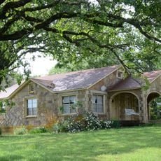
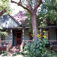
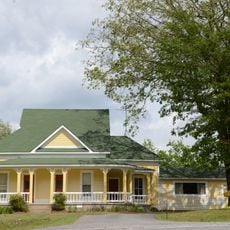
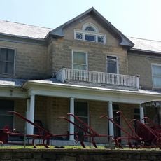
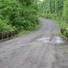
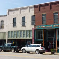
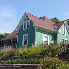
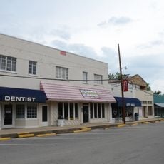
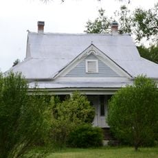
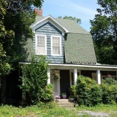
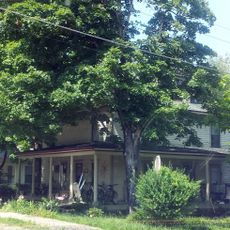
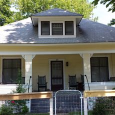
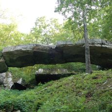
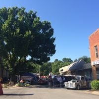
Van Buren County is an administrative region in central Arkansas with Clinton as its main city and several smaller communities scattered throughout. The land includes farmland, forest, and rural communities connected by highways running north to south.

History

The county was established in 1833 and named after Martin Van Buren, who was Vice President at that time. Since its founding, the region has developed as a rural community centered on farming and local commerce.

Culture

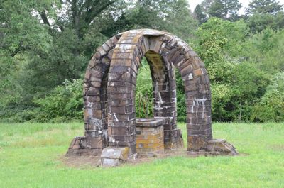
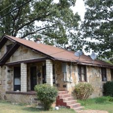
The county reflects rural Arkansas life through small farming communities tied together by agriculture and family traditions. Daily life centers on the land and local connections that shape how residents relate to their surroundings.

Practical

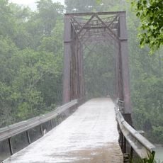
The county is accessible via US Highway 65 and several state routes that make it easy to drive between communities. Visitors should expect a rural setting where distances between towns are greater and services are spread out rather than centralized.

Did you know?

Until November 2020, the county remained a dry area where alcohol sales were prohibited before residents voted to change the law. This long period reflects how local rules shaped community life over many decades.

Location
Inception
November 11, 1833
Capital city
Clinton
Shares border with
Searcy County, Conway County, Stone County, Cleburne County, Faulkner County, Pope County
GPS coordinates
35.60028,-92.49111
Latest update
December 7, 2025 20:22

AroundUs brings together thousands of curated places, local tips, and hidden gems, enriched daily by 60,000 contributors worldwide. Discover all places nearby (Arkansas).

Around this place
Melvin Chrisco House
United States of America

Melvin Chrisco House

26.3 km
Middle Fork of the Little Red River Bridge
United States of America

Middle Fork of the Little Red River Bridge

16.8 km
Cafeteria Building-Cleveland School
United States of America

Cafeteria Building-Cleveland School

30.7 km
Walter Patterson Filling Station
United States of America

Walter Patterson Filling Station

3.2 km
Van Buren County Courthouse
United States of America

Van Buren County Courthouse

3.1 km
Lee Service Station
United States of America

Lee Service Station

27.1 km
Farmers Bank Building
United States of America

Farmers Bank Building

26.2 km
Dr. J.O. Cotton House
United States of America

Dr. J.O. Cotton House

26.3 km
Dr. Clay House
United States of America

Dr. Clay House

26.2 km
Joclin-Bradley-Bowling House
United States of America

Joclin-Bradley-Bowling House

2.6 km
Collums-Baker House
United States of America

Collums-Baker House

19.7 km
Charlie Hall House
United States of America

Charlie Hall House

30.1 km
Damascus CCC Camp, Co. No. 3781 Historic District
United States of America

Damascus CCC Camp, Co. No. 3781 Historic District

27 km
Columbus Hatchett House
United States of America

Columbus Hatchett House

26 km
Van Buren County Road 2E Bridge
United States of America

Van Buren County Road 2E Bridge

21.2 km
American Legion Post No. 131
United States of America

American Legion Post No. 131

26.3 km
Damascus Gymnasium
United States of America

Damascus Gymnasium

26.9 km
Leslie Commercial Historic District
United States of America

Leslie Commercial Historic District

26.3 km
Walter Patterson House
United States of America

Walter Patterson House

3.3 km
Carl and Esther Lee House
United States of America

Carl and Esther Lee House

27 km
Earl and Oza Crownover-Brown House
United States of America

Earl and Oza Crownover-Brown House

28 km
Leslie-Rolen House
United States of America

Leslie-Rolen House

26.3 km
Clinton Commercial Historic District
United States of America

Clinton Commercial Historic District

3 km
Art Scanlan House
United States of America

Art Scanlan House

19.1 km
Guy Bartley House
United States of America

Guy Bartley House

26.7 km
J.C. Miller House
United States of America

J.C. Miller House

26.5 km
Dr. Cleveland Hollabaugh House
United States of America

Dr. Cleveland Hollabaugh House

26.5 km
Natural Bridge of Arkansas
United States of America

Natural Bridge of Arkansas

6.7 km
Show the full map
Administrative divisions
« Van Buren County - County in central Arkansas, United States » is provided by Around Us (aroundus.com). Images and texts are derived from Wikimedia project under a Creative Commons license. You are allowed to copy, distribute, and modify copies of this page, under the conditions set by the license, as long as this note is clearly visible.

Discover hidden gems everywhere you go!

From secret cafés to breathtaking viewpoints, skip the crowded tourist spots and find places that match your style. Our app makes it easy with voice search, smart filtering, route optimization, and insider tips from travelers worldwide. Download now for the complete mobile experience.

Around Us App Screenshot

A unique approach to discovering new places

Le Figaro

All the places worth exploring

France Info

A tailor-made excursion in just a few clicks

20 Minutes

Around Us
Travel Guide & Maps
Download

Send to your phone

QR Code
1

Open the camera app on your mobile.

2

Point at the QR code with your camera. A notification will appear.

3

Tap the notification to open the link.