Enable Location

We need your location to show you interesting places around you

Discover nearby places

Find interesting locations and hidden gems around you

Precise directions

Get accurate directions and distances to places

Your location is never shared with other users. It's only used when you tap the location button.

Lapeer County

Log in to your account

Start exploring — it's free

Trusted by 61,553 travelers worldwide

Continue with Google
Continue with Apple
or

We will send you a code to connect

By continuing, you accept our Terms and Conditions and our Privacy Policy

Check your inbox

We've sent a pincode in your inbox. Please enter the code below.

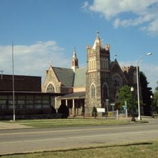
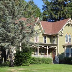
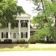
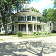
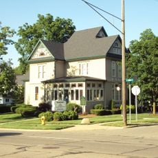
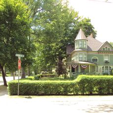
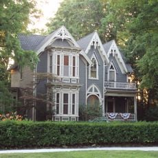
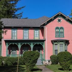
Lapeer County, Administrative county in eastern Michigan, United States

Description

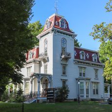
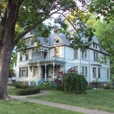
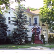
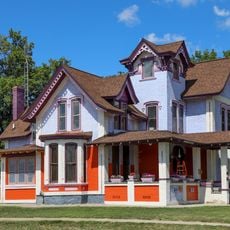
Lapeer County is an administrative region in eastern Michigan with several communities and rural areas. The land combines small town centers with open fields and forested stretches.

History

The region was established in 1822 and takes its name from French origins meaning 'the stone.' This founding period shaped the early settlement and growth of the area.

Culture

The Center for the Arts in Lapeer County organizes exhibitions, performances, and educational programs throughout the calendar year for the local population.

Practical

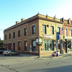
Visitors find libraries in several locations across the region with books and digital resources available to the public. Small town centers offer local services and shops for everyday needs.

Did you know?

The Flint River begins in this region and flows through several communities across the county. This natural water system has long influenced settlement and economic activity in the area.

Location
Inception
1822
Capital city
Lapeer
Shares border with
Sanilac County, St. Clair County, Macomb County, Oakland County, Genesee County, Tuscola County
GPS coordinates
43.09000,-83.22000
Latest update
December 22, 2025 17:34

AroundUs brings together thousands of curated places, local tips, and hidden gems, enriched daily by 60,000 contributors worldwide. Discover all places nearby (Michigan).

Around this place
United States of America

Metamora-Hadley Recreation Area

19.6 km
United States of America

Ortonville Recreation Area

27.4 km
Lapeer County Courthouse
United States of America

Lapeer County Courthouse

8.4 km
Piety Hill Historic District
United States of America

Piety Hill Historic District

8.9 km
John and Rosetta Lee House
United States of America

John and Rosetta Lee House

8.6 km
John W. Day House
United States of America

John W. Day House

17.2 km
Currier House
United States of America

Currier House

23.8 km
General Squier Memorial Park
United States of America

General Squier Memorial Park

19.9 km
Peter Van Dyke House
United States of America

Peter Van Dyke House

8.2 km
Younge Site
United States of America

Younge Site

14 km
Hadley Flour and Feed Mill
United States of America

Hadley Flour and Feed Mill

22 km
Jay White House
United States of America

Jay White House

9.3 km
Pioneer State Bank No. 36
United States of America

Pioneer State Bank No. 36

15.6 km
Charles Palmer House
United States of America

Charles Palmer House

13.8 km
Rodney G. Hart House
United States of America

Rodney G. Hart House

8.4 km
Columbus Tuttle House
United States of America

Columbus Tuttle House

8.9 km
West Saint Clair Street Historic District
United States of America

West Saint Clair Street Historic District

23.5 km
James F. Fairweather–Jacob C. Lamb House
United States of America

James F. Fairweather–Jacob C. Lamb House

14.1 km
Samuel J. Tomlinson House
United States of America

Samuel J. Tomlinson House

8.6 km
John and Julia Hevener House
United States of America

John and Julia Hevener House

9.4 km
James B. Dutton House
United States of America

James B. Dutton House

8.7 km
William H. and Sabrina Watson House
United States of America

William H. and Sabrina Watson House

8.5 km
Warren Perry House
United States of America

Warren Perry House

9.5 km
Mill Race Water Park
United States of America

Mill Race Water Park

19.9 km
Metamora Crossroads Historic District
United States of America

Metamora Crossroads Historic District

17.4 km
Veteran's Memorial Park
United States of America

Veteran's Memorial Park

17.3 km
Pix Theatre
United States of America

Pix Theatre

8.3 km
Joseph Armstrong House
United States of America

Joseph Armstrong House

8.7 km
Show the full map
Administrative divisions
« Lapeer County - Administrative county in eastern Michigan, United States » is provided by Around Us (aroundus.com). Images and texts are derived from Wikimedia project under a Creative Commons license. You are allowed to copy, distribute, and modify copies of this page, under the conditions set by the license, as long as this note is clearly visible.

Discover hidden gems everywhere you go!

From secret cafés to breathtaking viewpoints, skip the crowded tourist spots and find places that match your style. Our app makes it easy with voice search, smart filtering, route optimization, and insider tips from travelers worldwide. Download now for the complete mobile experience.

Around Us App Screenshot

A unique approach to discovering new places

Le Figaro

All the places worth exploring

France Info

A tailor-made excursion in just a few clicks

20 Minutes

Around Us
Travel Guide & Maps
Download

Send to your phone

QR Code
1

Open the camera app on your mobile.

2

Point at the QR code with your camera. A notification will appear.

3

Tap the notification to open the link.