Enable Location

We need your location to show you interesting places around you

Discover nearby places

Find interesting locations and hidden gems around you

Precise directions

Get accurate directions and distances to places

Your location is never shared with other users. It's only used when you tap the location button.

Lonoke

Log in to your account

Start exploring — it's free

Trusted by 63,366 travelers worldwide

Continue with Google
Continue with Apple
or

We will send you a code to connect

By continuing, you accept our Terms and Conditions and our Privacy Policy

Check your inbox

We've sent a pincode in your inbox. Please enter the code below.

Discussion Reviews 1 Photos
16.3k Popularity

Lonoke, city in and county seat of Lonoke County, Arkansas, United States

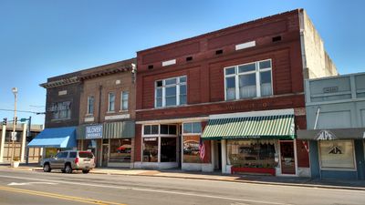
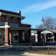
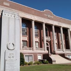
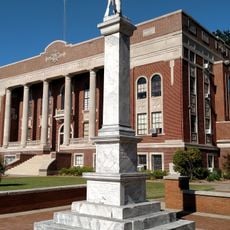
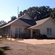
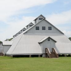
Lonoke is a small city in central Arkansas and serves as the county seat of Lonoke County. The community features a historic courthouse, a restored train depot now used by the local Chamber of Commerce, and the Joe Hogan Fish Hatchery, one of the world's largest working fish farms.

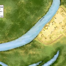
Lonoke was founded in 1872 after a railroad line was rerouted from the older town of Brownsville following a Civil War skirmish. During World War I, the area served as a training site for Army pilots at Eberts Field, which had a significant impact on the town's development.

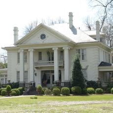
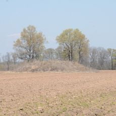
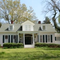
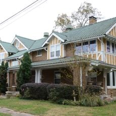
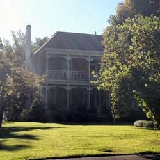
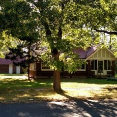
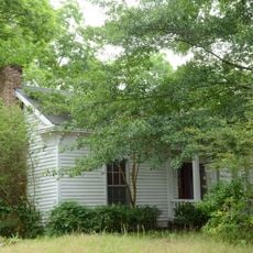
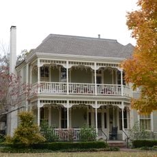
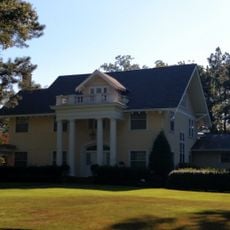
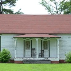
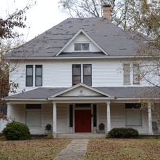
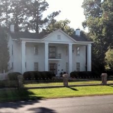
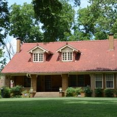
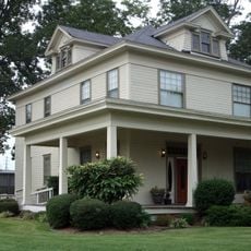
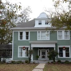
The name Lonoke comes from a large red oak tree that once stood on the prairie and served as a landmark for travelers. The town preserves this connection through mature trees lining its streets, which shade historic homes and give the area a green, established character.

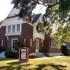
The city is located about 20 miles west of Little Rock and is easily accessible via Interstate 40 plus US Highways 70 and 31. Visitors can find various lodging options, a local museum for exploring history, and a trail at the city park for outdoor recreation.

The Joe Hogan Fish Hatchery is one of the world's largest working fish farms and offers visitors a chance to view aquariums and learn about fish farming operations. The area also lies on historic routes including the Trail of Tears and Civil War paths, making the region a place of national historical significance.

The community of curious travelers

AroundUs brings together thousands of curated places, local tips, and hidden gems, enriched daily by 60,000 contributors worldwide.

Start exploring
Location
Inception
January 22, 1872
Elevation above the sea
73 m
GPS coordinates
34.78420,-91.90080
Latest update
February 17, 2026 02:20
Around this place
Plum Bayou Mounds Archeological State Park
United States of America

Plum Bayou Mounds Archeological State Park

21.5 km
Dortch Plantation
United States of America

Dortch Plantation

15.9 km
Plantation Agriculture Museum
United States of America

Plantation Agriculture Museum

20.5 km
Coy Site
United States of America

Coy Site

26.2 km
Lonoke County Courthouse
United States of America

Lonoke County Courthouse

235 m
Ashley-Alexander House
United States of America

Ashley-Alexander House

19.6 km
First Presbyterian Church
United States of America

First Presbyterian Church

317 m
Eagle House
United States of America

Eagle House

205 m
Trimble-McCrary House
United States of America

Trimble-McCrary House

589 m
Lonoke Confederate Monument
United States of America

Lonoke Confederate Monument

199 m
Alls Souls Church
United States of America

Alls Souls Church

20.3 km
Shull House
United States of America

Shull House

471 m
Sears House
United States of America

Sears House

23 km
Trimble House
United States of America

Trimble House

539 m
First Christian Church
United States of America

First Christian Church

123 m
Walls House
United States of America

Walls House

494 m
McKenzie House
United States of America

McKenzie House

20.5 km
W.P. Fletcher House
United States of America

W.P. Fletcher House

530 m
Thomas Sloan Boyd House
United States of America

Thomas Sloan Boyd House

272 m
Arkansas Ordnance Plant Guard House
United States of America

Arkansas Ordnance Plant Guard House

22.3 km
Fred and Lucy Alexander Schaer House
United States of America

Fred and Lucy Alexander Schaer House

20 km
Lonoke Downtown Historic District
United States of America

Lonoke Downtown Historic District

81 m
Dr. E.F. Utley House
United States of America

Dr. E.F. Utley House

27.5 km
Woodlawn School Building
United States of America

Woodlawn School Building

15.6 km
Keo Commercial Historic District
United States of America

Keo Commercial Historic District

22.7 km
Wheat House
United States of America

Wheat House

630 m
Joe P. Eagle and D. R. Boone Building
United States of America

Joe P. Eagle and D. R. Boone Building

81 m
Seed Warehouse No. 5
United States of America

Seed Warehouse No. 5

20.3 km
Show the full map
Reviews
Share your experience

No review yet

Discussions
Start a discussion...

No discussion yet

« Lonoke - city in and county seat of Lonoke County, Arkansas, United States » is provided by Around Us (aroundus.com). Images and texts are derived from Wikimedia project under a Creative Commons license. You are allowed to copy, distribute, and modify copies of this page, under the conditions set by the license, as long as this note is clearly visible.

Discover hidden gems everywhere you go!

From secret cafés to breathtaking viewpoints, skip the crowded tourist spots and find places that match your style. Our app makes it easy with voice search, smart filtering, route optimization, and insider tips from travelers worldwide. Download now for the complete mobile experience.

Around Us App Screenshot

A unique approach to discovering new places

Le Figaro

All the places worth exploring

France Info

A tailor-made excursion in just a few clicks

20 Minutes

Around Us
Travel Guide & Maps
Download

Send to your phone

QR Code
1

Open the camera app on your mobile.

2

Point at the QR code with your camera. A notification will appear.

3

Tap the notification to open the link.