
Huntsville, city in Arkansas, USA
Location: Madison County
Inception: 1925
Elevation above the sea: 463 m
Website: https://huntsvillearkansas.org
GPS coordinates: 36.08972,-93.73500
Latest update: March 14, 2025 05:10

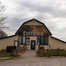
Turpentine Creek Wildlife Refuge
24.7 km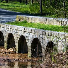
Hobbs State Park – Conservation Area
28.4 km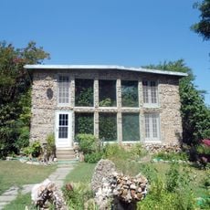
Quigley's Castle
28.6 km
Upper Buffalo Wilderness
32.9 km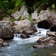
Richland Creek Wilderness
32.9 km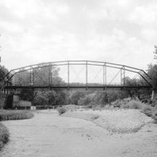
War Eagle Bridge
27.2 km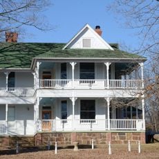
Skillern House
33.4 km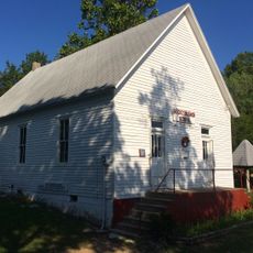
Rocky Branch School
32.2 km
Madison County Courthouse
308 m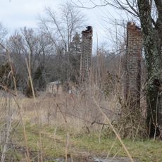
Durham School
26.9 km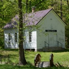
Winona Church and School
27.5 km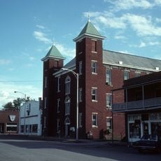
Carroll County Courthouse, Eastern District
34 km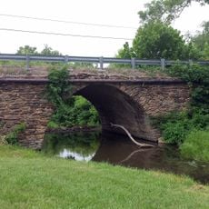
Goff Farm Stone Bridge
34.1 km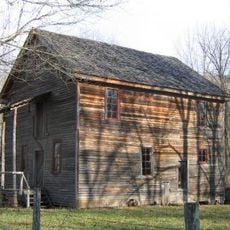
Villines Mill
32.3 km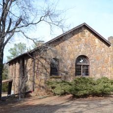
Son's Chapel
31.3 km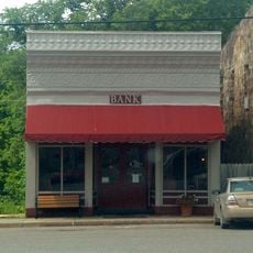
Bank of Kingston
20.1 km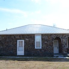
Spring Valley School District 120 Building
20.2 km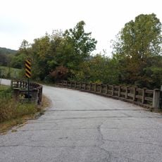
Cannon Creek Bridge
27.9 km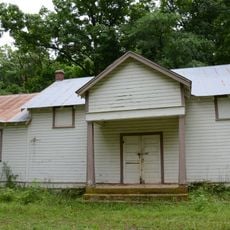
Enterprise School
20.4 km
Adrian Fletcher Residence
29.8 km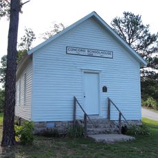
Concord School House
33.7 km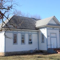
Fishback School
33.6 km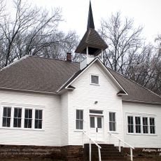
Pettigrew School
31.2 km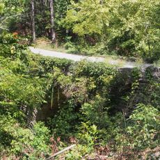
Sanitarium Lake Bridges Historic District
32.3 km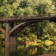
War Eagle Creek Bridge
5.2 km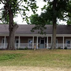
Maguire-Williams House
25.7 km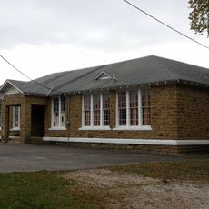
St. Paul School Building
29.6 km
Berryville Commercial Historic District
34.1 kmVisited this place? Tap the stars to rate it and share your experience / photos with the community! Try now! You can cancel it anytime.
Discover hidden gems everywhere you go!
From secret cafés to breathtaking viewpoints, skip the crowded tourist spots and find places that match your style. Our app makes it easy with voice search, smart filtering, route optimization, and insider tips from travelers worldwide. Download now for the complete mobile experience.

A unique approach to discovering new places❞
— Le Figaro
All the places worth exploring❞
— France Info
A tailor-made excursion in just a few clicks❞
— 20 Minutes