Enable Location

We need your location to show you interesting places around you

Discover nearby places

Find interesting locations and hidden gems around you

Precise directions

Get accurate directions and distances to places

Your location is never shared with other users. It's only used when you tap the location button.

Madison County

Log in to your account

Start exploring — it's free

Trusted by 62,059 travelers worldwide

Continue with Google
Continue with Apple
or

We will send you a code to connect

By continuing, you accept our Terms and Conditions and our Privacy Policy

Check your inbox

We've sent a pincode in your inbox. Please enter the code below.

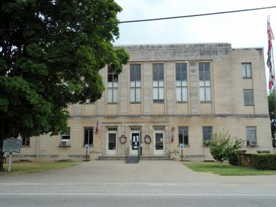
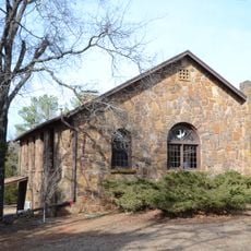
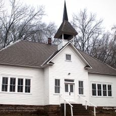
Madison County, County administration center in Huntsville, Arkansas, United States

Madison County is an administrative division in Northwest Arkansas covering forested land with valleys and several small towns. County administration operates from Huntsville, where the Clerk's office handles public records and official documents.

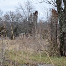
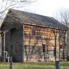
The county was established in 1836, named after settlers' former homes. During the Civil War era, it faced questions about the Confederacy that split communities and defined its place in regional history.

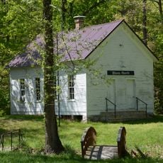
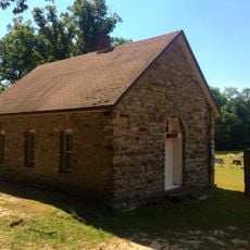
The name comes from settlers who brought their origins with them to this new land. Local place names and customs today still reflect ties to where the first families came from.

The Clerk's Office in Huntsville processes vital records and property matters at 201 West Main Street. You'll need to plan ahead and bring required identification or documents for most services.

A small airport near Huntsville connects the region to broader travel routes, something often overlooked in rural Arkansas. This practical hub has served the community's transportation needs for years.

The community of curious travelers

AroundUs brings together thousands of curated places, local tips, and hidden gems, enriched daily by 60,000 contributors worldwide.

Start exploring
Location
Inception
September 30, 1836
Capital city
Huntsville
Shares border with
Benton County, Washington County, Franklin County, Carroll County, Newton County, Johnson County, Crawford County
GPS coordinates
36.02722,-93.69583
Latest update
December 7, 2025 20:20
Around this place
Hemmed-In-Hollow Falls
United States of America

Hemmed-In-Hollow Falls

35.3 km
War Eagle Mill
United States of America

War Eagle Mill

34.8 km
Turpentine Creek Wildlife Refuge
United States of America

Turpentine Creek Wildlife Refuge

32 km
Hobbs State Park – Conservation Area
United States of America

Hobbs State Park – Conservation Area

36 km
Quigley's Castle
United States of America

Quigley's Castle

35.9 km
Upper Buffalo Wilderness
United States of America

Upper Buffalo Wilderness

25.9 km
Richland Creek Wilderness
United States of America

Richland Creek Wilderness

25.9 km
War Eagle Bridge
United States of America

War Eagle Bridge

34.8 km
Skillern House
United States of America

Skillern House

37.8 km
Madison County Courthouse
United States of America

Madison County Courthouse

7.6 km
Shady Grove Delmar Church and School
United States of America

Shady Grove Delmar Church and School

34.4 km
Durham School
United States of America

Durham School

27 km
Winona Church and School
United States of America

Winona Church and School

34 km
Goff Farm Stone Bridge
United States of America

Goff Farm Stone Bridge

37.3 km
Villines Mill
United States of America

Villines Mill

27.1 km
Dog Branch School
United States of America

Dog Branch School

36.2 km
Son's Chapel
United States of America

Son's Chapel

35.7 km
Bank of Kingston
United States of America

Bank of Kingston

16.3 km
Cannon Creek Bridge
United States of America

Cannon Creek Bridge

26.3 km
Enterprise School
United States of America

Enterprise School

21 km
Adrian Fletcher Residence
United States of America

Adrian Fletcher Residence

32.9 km
Pettigrew School
United States of America

Pettigrew School

23.7 km
War Eagle Creek Bridge
United States of America

War Eagle Creek Bridge

10.7 km
Maguire-Williams House
United States of America

Maguire-Williams House

28.3 km
St. Paul School Building
United States of America

St. Paul School Building

23.4 km
Huntsville Commercial Historic District
United States of America

Huntsville Commercial Historic District

7.8 km
Flowers Cabin
United States of America

Flowers Cabin

35.2 km
Glory Hole Waterfall
United States of America

Glory Hole Waterfall

35.6 km
Show the full map
« Madison County - County administration center in Huntsville, Arkansas, United States » is provided by Around Us (aroundus.com). Images and texts are derived from Wikimedia project under a Creative Commons license. You are allowed to copy, distribute, and modify copies of this page, under the conditions set by the license, as long as this note is clearly visible.

Discover hidden gems everywhere you go!

From secret cafés to breathtaking viewpoints, skip the crowded tourist spots and find places that match your style. Our app makes it easy with voice search, smart filtering, route optimization, and insider tips from travelers worldwide. Download now for the complete mobile experience.

Around Us App Screenshot

A unique approach to discovering new places

Le Figaro

All the places worth exploring

France Info

A tailor-made excursion in just a few clicks

20 Minutes

Around Us
Travel Guide & Maps
Download

Send to your phone

QR Code
1

Open the camera app on your mobile.

2

Point at the QR code with your camera. A notification will appear.

3

Tap the notification to open the link.