Greene County

Log in to your account

AroundUs is a community-driven map of interesting places, built by curious explorers like you. It grows with every review, story, and photo you share.
Connect to save your favorite spots, contribute locations, and create personalized routes.
Continue with Google
Continue with Apple
Continue with X
Continue with Facebook
Continue with email
By continuing, you accept our Terms and Conditions and our Privacy Policy
Create an account
Add to collection
Map
Suggest a change
Share

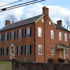
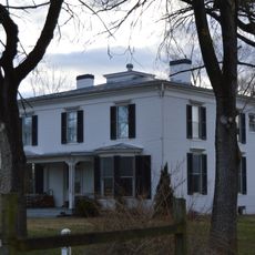
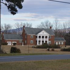
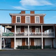
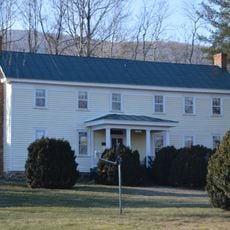
Greene County, County administrative division in Virginia, United States

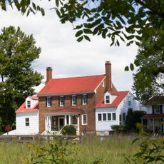
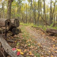
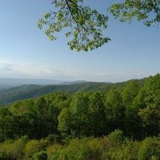
Greene County is an administrative division in Virginia with Stanardsville as its seat of government. The area stretches across rural land and is managed by a Board of Supervisors that oversees local affairs and public services.

The county was established in 1838 after being separated from Orange County and named for Revolutionary War General Nathanael Greene. Its creation reflected the territorial reorganization happening in Virginia during that period.

The Jefferson-Madison Regional Library serves as a community gathering space where residents access books, programs, and educational events. It functions as a social hub that connects people through shared learning and local activities.

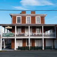
The visitor center in Stanardsville provides information about the region and its services. Good road connections make it easy to navigate through the county when exploring different communities and areas.

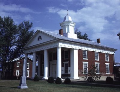
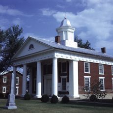
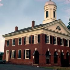
A natural gas explosion in 1979 destroyed the courthouse bell tower, but firefighters saved essential county records from destruction. The incident remains part of local memory as a moment when the community came together to protect what mattered most.

Location: Virginia

Inception: 1838

Capital city: Stanardsville

Shares border with: Rockingham County, Page County, Madison County, Orange County, Albemarle County

Website: http://gcva.us

GPS coordinates: 38.30000,-78.47000

Latest update: December 7, 2025 19:24

Photos
Around this place
Rapidan Camp
United States of America

Rapidan Camp

21.7 km
Beadles House
United States of America

Beadles House

2.8 km
Octonia Stone
United States of America

Octonia Stone

3.9 km
Graves Mill
United States of America

Graves Mill

16.5 km
Miller-Kite House
United States of America

Miller-Kite House

17.6 km
Longwood
United States of America

Longwood

13.4 km
Bon Air
United States of America

Bon Air

20 km
Kite Mansion
United States of America

Kite Mansion

16.4 km
Greene County Courthouse
United States of America

Greene County Courthouse

2.7 km
Madison County Courthouse
United States of America

Madison County Courthouse

20.2 km
Buck Mountain Episcopal Church
United States of America

Buck Mountain Episcopal Church

16.4 km
Bel Aire
United States of America

Bel Aire

15.8 km
Woodbourne
United States of America

Woodbourne

19 km
Earlysville Union Church
United States of America

Earlysville Union Church

16 km
Gibson Memorial Chapel and Martha Bagby Battle House at Blue Ridge School
United States of America

Gibson Memorial Chapel and Martha Bagby Battle House at Blue Ridge School

8.4 km
Hoffman Round Barn
United States of America

Hoffman Round Barn

13.3 km
Madison County Courthouse Historic District
United States of America

Madison County Courthouse Historic District

20.5 km
Stanardsville Historic District
United States of America

Stanardsville Historic District

2.9 km
Powell-McMullan House
United States of America

Powell-McMullan House

5.6 km
Locust Grove
United States of America

Locust Grove

6.4 km
Lewis Mountain Lodge
United States of America

Lewis Mountain Lodge

15.3 km
Appalachian Trail in Shenandoah National Park
United States of America

Appalachian Trail in Shenandoah National Park

12.4 km
Lewis Mountain Campground
United States of America

Lewis Mountain Campground

15.2 km
Hazeltop Ridge Overlook
United States of America

Hazeltop Ridge Overlook

19.9 km
Eaton Hollow Overlook
United States of America

Eaton Hollow Overlook

11.9 km
Hensley Hollow Overlook
United States of America

Hensley Hollow Overlook

9.5 km
Naked Creek Overlook
United States of America

Naked Creek Overlook

21.6 km
The Point Overlook
United States of America

The Point Overlook

18.1 km
Show the full map
Reviews

Visited this place? Tap the stars to rate it and share your experience / photos with the community! Try now! You can cancel it anytime.

Administrative divisions
« Greene County - County administrative division in Virginia, United States » is provided by Around Us (aroundus.com). Images and texts are derived from Wikimedia project under a Creative Commons license. You are allowed to copy, distribute, and modify copies of this page, under the conditions set by the license, as long as this note is clearly visible.

Discover hidden gems everywhere you go!

From secret cafés to breathtaking viewpoints, skip the crowded tourist spots and find places that match your style. Our app makes it easy with voice search, smart filtering, route optimization, and insider tips from travelers worldwide. Download now for the complete mobile experience.

Around Us App Screenshot

A unique approach to discovering new places

Le Figaro

All the places worth exploring

France Info

A tailor-made excursion in just a few clicks

20 Minutes