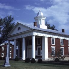
Octonia Stone, Boundary marker in Greene County, Virginia.
Octonia Stone is a granite boundary marker in Greene County featuring two carved circles forming a figure eight with a cross on top. The natural rock outcrop sits in a hayfield and displays the engraved symbols that remain visible after centuries.
Lieutenant Governor Alexander Spotswood granted 24,000 acres to eight Virginians in 1722, with this stone marking the western boundary of that land grant. The carved symbols date from 1721 and record this early colonial land division.
The stone shows how early colonial surveyors marked property lines and organized land ownership in Virginia. You can see how important these markers were for settlers who needed clear boundaries in a newly settled region.
The marker sits north of Stanardsville along VA 637 and remains visible from the public road without needing to cross private land. The open hayfield location makes it straightforward to spot from your vehicle or while walking along the right-of-way.
The two circular engravings were intentionally designed to represent the number eight in an early surveying notation, directly referring to the eight original grant recipients. This symbolic connection between the shape and the land owners was a clever way for surveyors to embed the grant's meaning directly into the stone.
The community of curious travelers
AroundUs brings together thousands of curated places, local tips, and hidden gems, enriched daily by 60,000 contributors worldwide.