Chippewa County

Log in to your account

AroundUs is a community-driven map of interesting places, built by curious explorers like you. It grows with every review, story, and photo you share.
Connect to save your favorite spots, contribute locations, and create personalized routes.
By continuing, you accept our Terms and Conditions and our Privacy Policy
Add to collection
Map
Suggest a change
Share

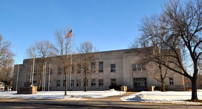
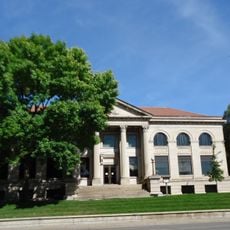
Chippewa County, Administrative county in northwestern Wisconsin, United States.
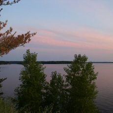
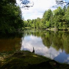
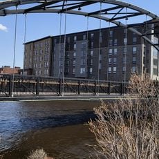
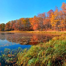
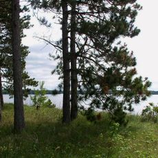
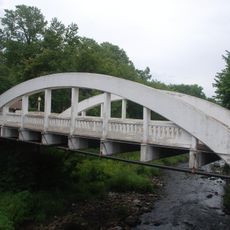
Chippewa County spans across 1,041 square miles of land encompassing 449 lakes, streams, and 32,000 acres of forest areas in Wisconsin.

The county, established in 1845, developed from a region of logging operations that transformed the landscape and economic structure of northwestern Wisconsin.

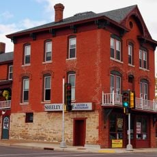
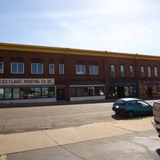
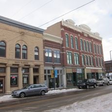
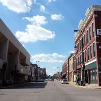
The county hosts regular community gatherings at Chippewa Falls, where local traditions merge with contemporary events throughout all seasons.

Visitors can access outdoor activities at Lake Wissota, which provides opportunities for boating during summer and ice fishing in winter months.

The county maintains a network of 449 lakes and streams, creating an extensive water system that supports diverse fishing and recreational activities.

Location: Wisconsin

Inception: 1845

Capital city: Chippewa Falls

Shares border with: Rusk County, Taylor County, Clark County, Eau Claire County, Dunn County, Barron County

Website: https://co.chippewa.wi.us

GPS coordinates: 45.07000,-91.28000

Latest update: March 5, 2025 19:31

Around this place
Show the full map
Lake Wissota
United States of America

Lake Wissota

14.2 km
Brunet Island State Park
United States of America

Brunet Island State Park

15.1 km
James Sheeley House
United States of America

James Sheeley House

17.7 km
Cornell Pulpwood Stacker
United States of America

Cornell Pulpwood Stacker

15.3 km
State Theatre
United States of America

State Theatre

33.5 km
Z. C. B. J. Hall
United States of America

Z. C. B. J. Hall

11.1 km
Sacred Heart Church
United States of America

Sacred Heart Church

32.9 km
Flambeau Mission Church
United States of America

Flambeau Mission Church

26.6 km
Cook-Rutledge House
United States of America

Cook-Rutledge House

18 km
Saint Edward's Chapel
United States of America

Saint Edward's Chapel

32.7 km
Emery Street Bungalow District
United States of America

Emery Street Bungalow District

32.9 km
John Bohrnstedt House
United States of America

John Bohrnstedt House

25.6 km
St. Joseph's Chapel
United States of America

St. Joseph's Chapel

31.6 km
Eau Claire Public Library
United States of America

Eau Claire Public Library

33.5 km
D. R. Moon Memorial Library
United States of America

D. R. Moon Memorial Library

29.7 km
Children’s Museum of Eau Claire
United States of America

Children’s Museum of Eau Claire

33.4 km
West Hill Residential Historic District
United States of America

West Hill Residential Historic District

18 km
L.I. Roe House
United States of America

L.I. Roe House

29.9 km
Chippewa Moraine Lakes State Natural Area
United States of America

Chippewa Moraine Lakes State Natural Area

17.2 km
Drummond Business Block
United States of America

Drummond Business Block

33.3 km
Barnes Block
United States of America

Barnes Block

33.5 km
Einar and Alice Borton House
United States of America

Einar and Alice Borton House

33.1 km
Confluence Commercial Historic District
United States of America

Confluence Commercial Historic District

33.6 km
Bridge Street Commercial Historic District
United States of America

Bridge Street Commercial Historic District

17.3 km
Lake Wissota State Park
United States of America

Lake Wissota State Park

11.2 km
Notre Dame Church and Goldsmith Memorial Chapel
United States of America

Notre Dame Church and Goldsmith Memorial Chapel

17.1 km
Jane E. Putnam Memorial Chapel
United States of America

Jane E. Putnam Memorial Chapel

33.4 km
Marsh Rainbow Arch Bridge
United States of America

Marsh Rainbow Arch Bridge

17.2 km
Show the full map

Reviews

Visited this place? Tap the stars to rate it and share your experience / photos with the community! Try now! You can cancel it anytime.

Administrative divisions
« Chippewa County: Administrative county in northwestern Wisconsin, United States » is provided by Around Us (aroundus.com). Images and texts are derived from Wikimedia project under a Creative Commons license. You are allowed to copy, distribute, and modify copies of this page, under the conditions set by the license, as long as this note is clearly visible.

Discover hidden gems everywhere you go!

From secret cafés to breathtaking viewpoints, skip the crowded tourist spots and find places that match your style. Our app makes it easy with voice search, smart filtering, route optimization, and insider tips from travelers worldwide. Download now for the complete mobile experience.

Around Us App Screenshot

A unique approach to discovering new places

Le Figaro

All the places worth exploring

France Info

A tailor-made excursion in just a few clicks

20 Minutes