Clark County

Log in to your account

AroundUs is a community-driven map of interesting places, built by curious explorers like you. It grows with every review, story, and photo you share.
Connect to save your favorite spots, contribute locations, and create personalized routes.
Continue with Google
Continue with Apple
Continue with X
Continue with Facebook
Continue with email
By continuing, you accept our Terms and Conditions and our Privacy Policy
Create an account
Add to collection
Map
Suggest a change
Share

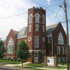
Clark County, Administrative county in southeastern Illinois, United States

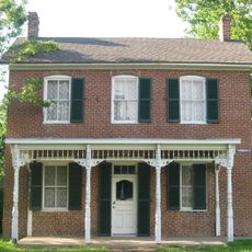
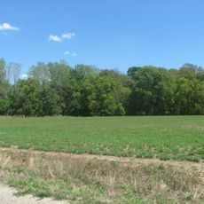
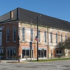
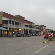
Clark County is an administrative division in southeastern Illinois that encompasses land shaped by river systems, particularly the Wabash River and the North Fork of the Embarras River. The terrain is generally flat and dominated by farmland, with Marshall serving as the county seat.

The county was established in 1819 and named after George Rogers Clark, an officer during the American Revolution. The region was originally part of a much larger territory that stretched farther north before it was divided into smaller districts.

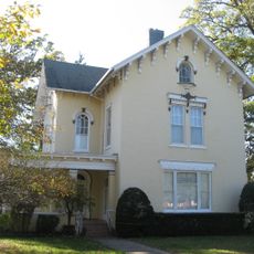
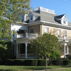
The community revolves around farming and local traditions that show up in regular gatherings and county fairs. People across generations participate in these events and maintain their connections to one another.

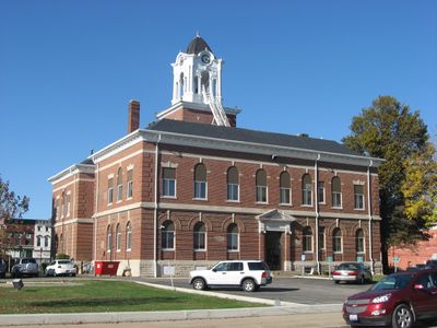
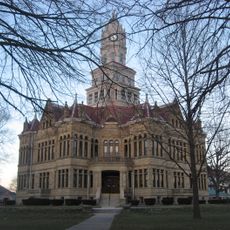
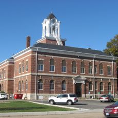
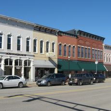
Most government offices are located in Marshall, where you can find administrative services. You should check ahead to see which offices are accessible locally, as not all services are available everywhere.

The county originally stretched across a vast territory that extended all the way to present-day Wisconsin. This enormous area was gradually divided into separate counties over time to make administration easier.

Location: Illinois

Inception: 1819

Capital city: Marshall

Shares border with: Edgar County, Crawford County, Coles County, Vigo County, Sullivan County, Jasper County, Cumberland County

Website: http://clarkcountyil.org

GPS coordinates: 39.33000,-87.79000

Latest update: December 7, 2025 20:40

Photos
Around this place
Ashmore Estates
United States of America

Ashmore Estates

31.5 km
Allen Chapel African Methodist Episcopal Church
United States of America

Allen Chapel African Methodist Episcopal Church

35.4 km
Lincoln Trail State Park
United States of America

Lincoln Trail State Park

6.4 km
Paul Dresser Birthplace
United States of America

Paul Dresser Birthplace

35 km
Hutsonville Bridge
United States of America

Hutsonville Bridge

27.1 km
Stoner Site
United States of America

Stoner Site

34.5 km
Edgar County Courthouse
United States of America

Edgar County Courthouse

32.6 km
Old Stone Arch
United States of America

Old Stone Arch

9.4 km
Blessed Sacrament Chapel
United States of America

Blessed Sacrament Chapel

34.7 km
Bethany Congregational Church
United States of America

Bethany Congregational Church

33.3 km
Sage-Robinson-Nagel House
United States of America

Sage-Robinson-Nagel House

35.4 km
Clark County Courthouse
United States of America

Clark County Courthouse

10.5 km
Philip D. Armour III House
United States of America

Philip D. Armour III House

28.5 km
Farrington's Grove Historic District
United States of America

Farrington's Grove Historic District

35.6 km
Harlan Hall
United States of America

Harlan Hall

10.5 km
Foley Hall
United States of America

Foley Hall

34.6 km
Greenup Commercial Historic District
United States of America

Greenup Commercial Historic District

33.4 km
Pine Grove Community Club
United States of America

Pine Grove Community Club

32.6 km
Paris Elks Lodge No. 812 Building
United States of America

Paris Elks Lodge No. 812 Building

32.6 km
Williams-Warren-Zimmerman House
United States of America

Williams-Warren-Zimmerman House

35.5 km
Shaw-Van Gilder House
United States of America

Shaw-Van Gilder House

32 km
Manly-McCann House
United States of America

Manly-McCann House

10.2 km
Henry Clay Moss House
United States of America

Henry Clay Moss House

32.8 km
Robert L. Dulaney House
United States of America

Robert L. Dulaney House

10.8 km
John W. Lewis House
United States of America

John W. Lewis House

10.3 km
Marshall Business Historic District
United States of America

Marshall Business Historic District

10.6 km
Candles Holocaust Museum & Education Center
United States of America

Candles Holocaust Museum & Education Center

35.1 km
World's Largest Pitchfork
United States of America

World's Largest Pitchfork

16.3 km
Show the full map
Reviews

Visited this place? Tap the stars to rate it and share your experience / photos with the community! Try now! You can cancel it anytime.

« Clark County - Administrative county in southeastern Illinois, United States » is provided by Around Us (aroundus.com). Images and texts are derived from Wikimedia project under a Creative Commons license. You are allowed to copy, distribute, and modify copies of this page, under the conditions set by the license, as long as this note is clearly visible.

Discover hidden gems everywhere you go!

From secret cafés to breathtaking viewpoints, skip the crowded tourist spots and find places that match your style. Our app makes it easy with voice search, smart filtering, route optimization, and insider tips from travelers worldwide. Download now for the complete mobile experience.

Around Us App Screenshot

A unique approach to discovering new places

Le Figaro

All the places worth exploring

France Info

A tailor-made excursion in just a few clicks

20 Minutes