Enable Location

We need your location to show you interesting places around you

Discover nearby places

Find interesting locations and hidden gems around you

Precise directions

Get accurate directions and distances to places

Your location is never shared with other users. It's only used when you tap the location button.

Brookfield

Log in to your account

Start exploring — it's free

Trusted by 61,586 travelers worldwide

Continue with Google
Continue with Apple
or

We will send you a code to connect

By continuing, you accept our Terms and Conditions and our Privacy Policy

Check your inbox

We've sent a pincode in your inbox. Please enter the code below.

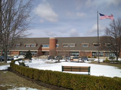
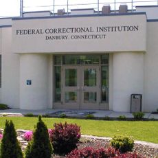
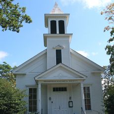
Brookfield, Administrative town in Western Connecticut, United States

Description

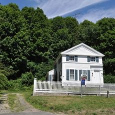
Brookfield is a town in Fairfield County in western Connecticut that stretches across varied terrain with residential neighborhoods and open spaces. Candlewood Lake and the Still River are natural features that wind through the region and define its landscape.

History

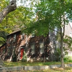
The area was established in the early 1700s through agreements between colonial settlers and local indigenous nations including the Wyantenuck and Potatuck peoples. The formal incorporation as a town came later in 1788 after decades of settlement.

Culture

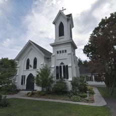
The town center serves as a gathering place where residents come together for concerts, street parties, and seasonal festivals throughout the year. These events reflect how the community stays connected and celebrates its local identity.

Practical

The town is best explored by car, as neighborhoods and attractions are spread across the area rather than concentrated in one spot. Public facilities and community spaces are generally accessible, though planning ahead helps make the most of a visit.

Did you know?

The town once housed the headquarters of Lego USA and continues to host major industrial and corporate operations like Branson Ultrasonics. This manufacturing heritage combined with proximity to the New York metropolitan area gives it a distinctive role in the region.

Location
Inception
1788
Elevation above the sea
140 m
Part of
New York metropolitan area, Greater Danbury
Shares border with
Bethel, Bridgewater, Danbury, New Fairfield, New Milford, Newtown
GPS coordinates
41.46861,-73.39194
Latest update
December 17, 2025 10:46

AroundUs brings together thousands of curated places, local tips, and hidden gems, enriched daily by 60,000 contributors worldwide. Discover all places nearby (Western Connecticut Planning Region).

Around this place
Federal Correctional Institution, Danbury
United States of America

Federal Correctional Institution, Danbury

7.3 km
Lillinonah Trail
United States of America

Lillinonah Trail

6.9 km
United States of America

New Fairfield Historical District

8.2 km
United States of America

George Waldo State Park

8.5 km
Brookfield Center Historic District
United States of America

Brookfield Center Historic District

337 m
United States of America

Brookfield Theatre for the Arts

120 m
John Glover House
United States of America

John Glover House

7.3 km
John Glover Noble House
United States of America

John Glover Noble House

4.6 km
Joseph W. Pepin Memorial Building
United States of America

Joseph W. Pepin Memorial Building

8.5 km
Cosier-Murphy House
United States of America

Cosier-Murphy House

6.9 km
Bridgewater Center Historic District
United States of America

Bridgewater Center Historic District

7.7 km
Frederick S. Sanford House
United States of America

Frederick S. Sanford House

7.6 km
United States of America

John J. McCarthy Observatory

7 km
United States of America

Candlewood Theatre

7.7 km
United States of America

Town Park

6.6 km
United States of America

Bear Mountain Reservation

5.8 km
United States of America

Lovers Leap

8.1 km
United States of America

Margerie Lake Reservoir

7.6 km
United States of America

Candlewood Valley Country Club

7.2 km
United States of America

North Beach

6 km
United States of America

South Beach

5.8 km
United States of America

Southwestern Ct. Girl Scouts Council-Camp Topside

7.9 km
United States of America

Greek letter pi

8 km
United States of America

Statue, Work of art

602 m
United States of America

Scenic viewpoint

7.5 km
United States of America

Scenic viewpoint

7.6 km
United States of America

Scenic viewpoint

2.7 km
United States of America

Scenic viewpoint

8 km
Show the full map
« Brookfield - Administrative town in Western Connecticut, United States » is provided by Around Us (aroundus.com). Images and texts are derived from Wikimedia project under a Creative Commons license. You are allowed to copy, distribute, and modify copies of this page, under the conditions set by the license, as long as this note is clearly visible.

Discover hidden gems everywhere you go!

From secret cafés to breathtaking viewpoints, skip the crowded tourist spots and find places that match your style. Our app makes it easy with voice search, smart filtering, route optimization, and insider tips from travelers worldwide. Download now for the complete mobile experience.

Around Us App Screenshot

A unique approach to discovering new places

Le Figaro

All the places worth exploring

France Info

A tailor-made excursion in just a few clicks

20 Minutes

Around Us
Travel Guide & Maps
Download

Send to your phone

QR Code
1

Open the camera app on your mobile.

2

Point at the QR code with your camera. A notification will appear.

3

Tap the notification to open the link.